
Looking for hiking trails near Lexington, Kentucky? Check out the Brushy Fork trails on Welch Mountain in downtown Berea, Kentucky.
I'm pretty sure that fall hiking is the best hiking.
Or at least, it is in Kentucky. The thick humidity that blanketed the region all summer finally begins to lift, and we can all breathe again.
This past weekend, the weather was exceptionally gorgeous, and we just had to go for a hike.
Unfortunately, the rest of Kentucky also decided to go for a hike, and everyone converged at my favorite hiking trails (The Pinnacles) in Berea, Kentucky.
We'd planned on hiking out to Robe and Basin mountains, and then maybe checking out the views from either East Pinnacle or West Pinnacle.
But plans change. Or at least they do in 2020.
Instead, after a few minutes of furious trail Googling, we ended up at Welch Mountain in downtown Berea. And guys, it was a lovely uncrowded hike.
Welch Mountain is a small mountain in the Brushy Fork area of Berea. The Brushy Fork trails all interconnect and form a loop with lots of hiking options, overlooks of the city, and lots of wildflowers.
Looking for more Kentucky hikes? Check out Raven Run and Natural Bridge near Lexington, Bernheim Forest near Louisville, and the Three Bridges and 4Cs trails at Carter Caves.
Getting to Welch Mountain
The parking lot for Welch Mountain is a small gravel lot located at 179-407 Scaffold Cane Rd, Berea, KY 40403.
Since the trailhead is downtown, you could likely find another nearby parking spot and walk to the trailhead if needed.
There are no signs in the parking lot indicating that it's for the trailhead, and there are no signs along the path from the lot to the trailhead. But it's pretty easy to find.
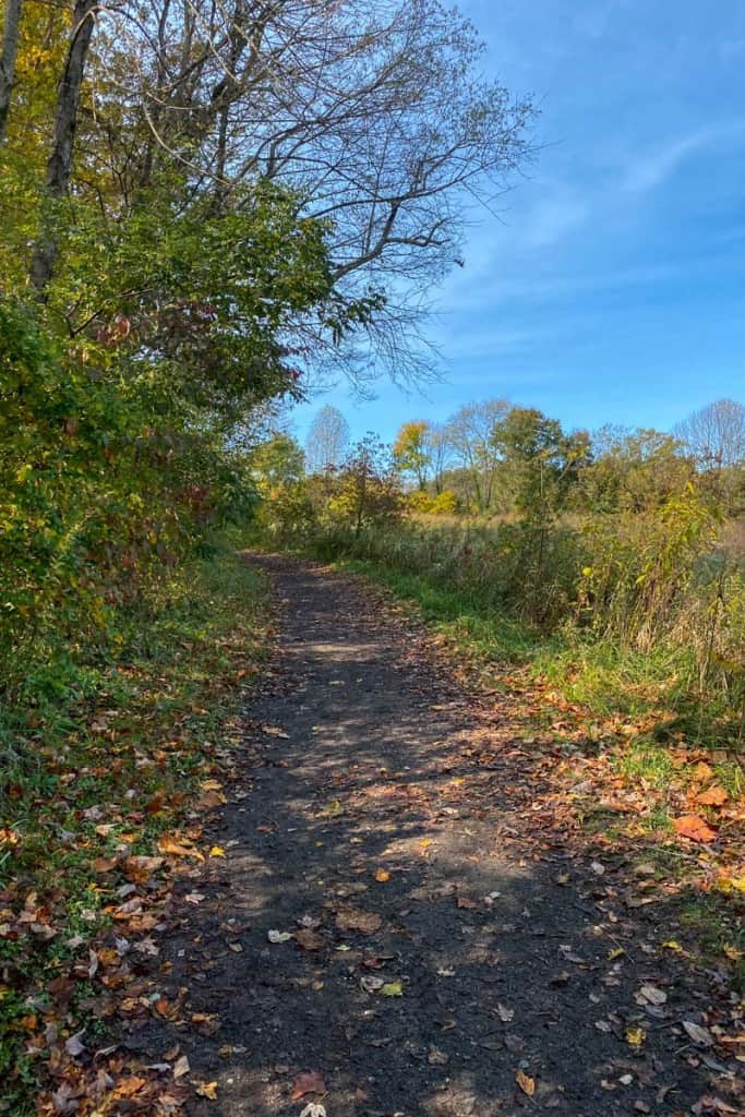
From the parking lot, turn left and head down the path. The path will wind around, passing a field, and eventually there will be a spot to turn left.

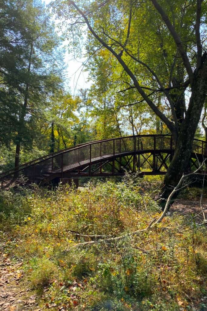
Continue following the path until you reach a large metal bridge.
Cross the bridge and you've arrived at the trailhead.

Are the Trails on Welch Mountain Difficult?
It depends on which trails you take.
The trails to the overlook viewpoints are more difficult than the trails below the overlooks.
The yellow trail is the most difficult trail in the loop and includes a small rock scramble. However, the majority of the trails aren't incredibly difficult and would probably be great for trail running.
Check the trail map for difficulty ratings for the section of trails you plan to hike.
We intended to do the outer trail loop, a moderately difficult four-mile hike with an elevation change of about 715 feet.
Instead, we got lost and hiked for about six miles. Oops. More on that later.
Staying Found on Welch Mountain
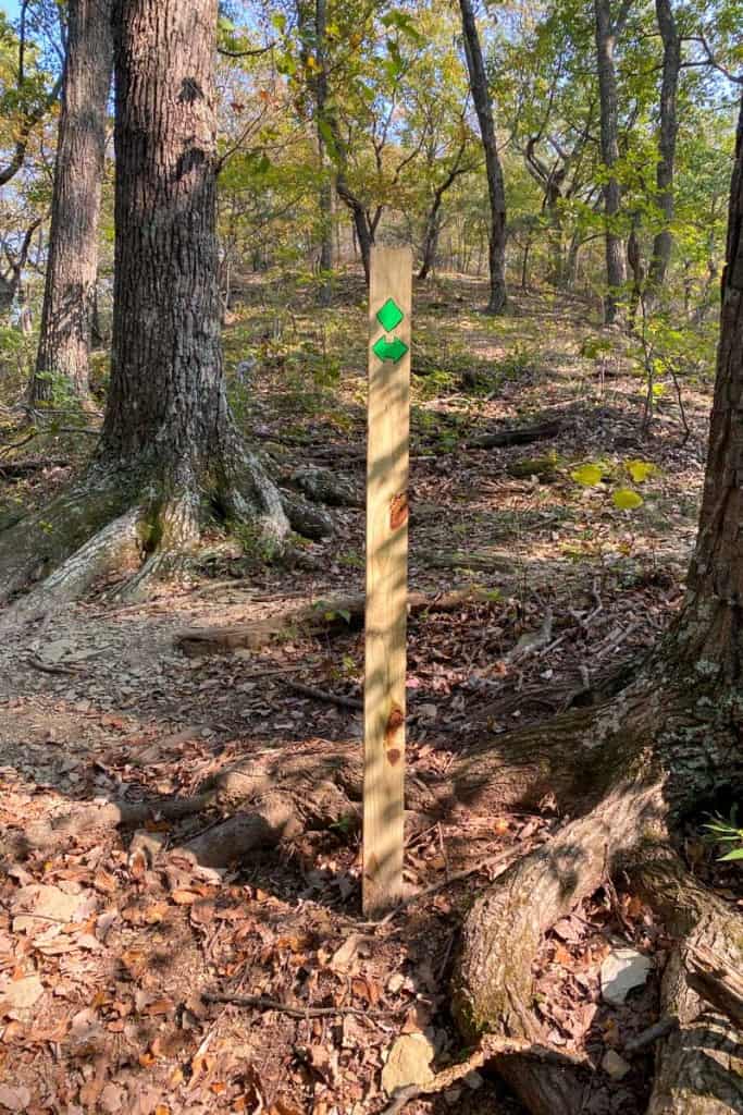
These trails are not very well-marked, but they are kind of marked. Sort of.
Before you go, here's what you should know.
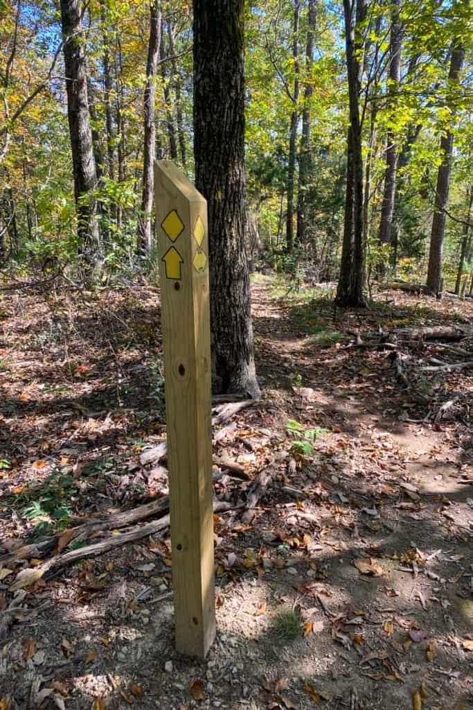
As you hike, you'll see posts with trail markers at trail junctions. You'll also see lots and lots of unmarked trail junctions.

For the most part, if you follow the trail marker signs and ignore any unmarked trail spurs, you should be fine.
That said, we're usually pretty decent at finding our way on trails, and we got majorly lost on this trail system.
I recommend taking a photo of the trail map at the trailhead (or take a screenshot of the map below) and using it to guide your path. I also recommend using the map feature on AllTrails to find your way back if you do get lost.

However, if you do get lost, don't panic.
We really enjoyed the unmarked trail we accidentally hiked, and finding the trail again is easy since you should have cell phone service.
Hiking Welch Mountain
When you're facing the trailhead, the trail is on your right.
Turn right and start walking.
You'll come to an unmarked junction almost immediately. Stay left.
At this point, you can follow trail markers to guide your own path.
We opted to stay to the right in an attempt to hike the entire outer loop.
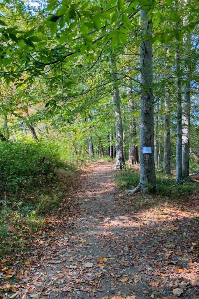
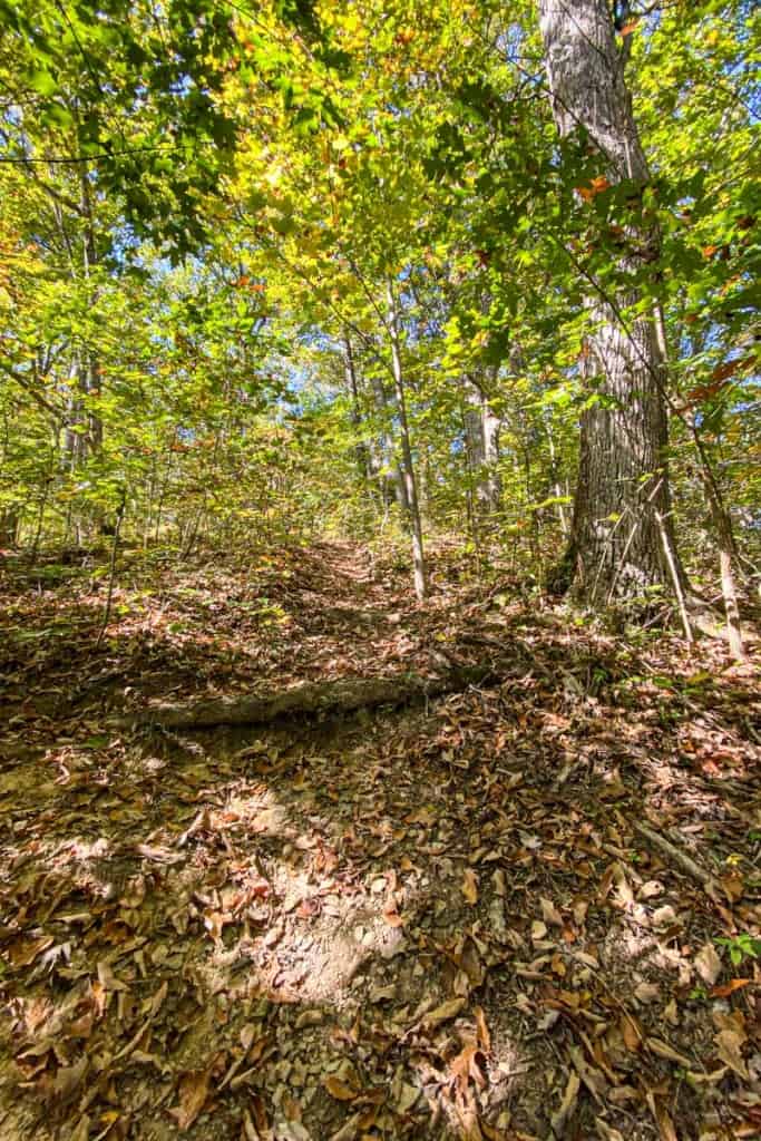
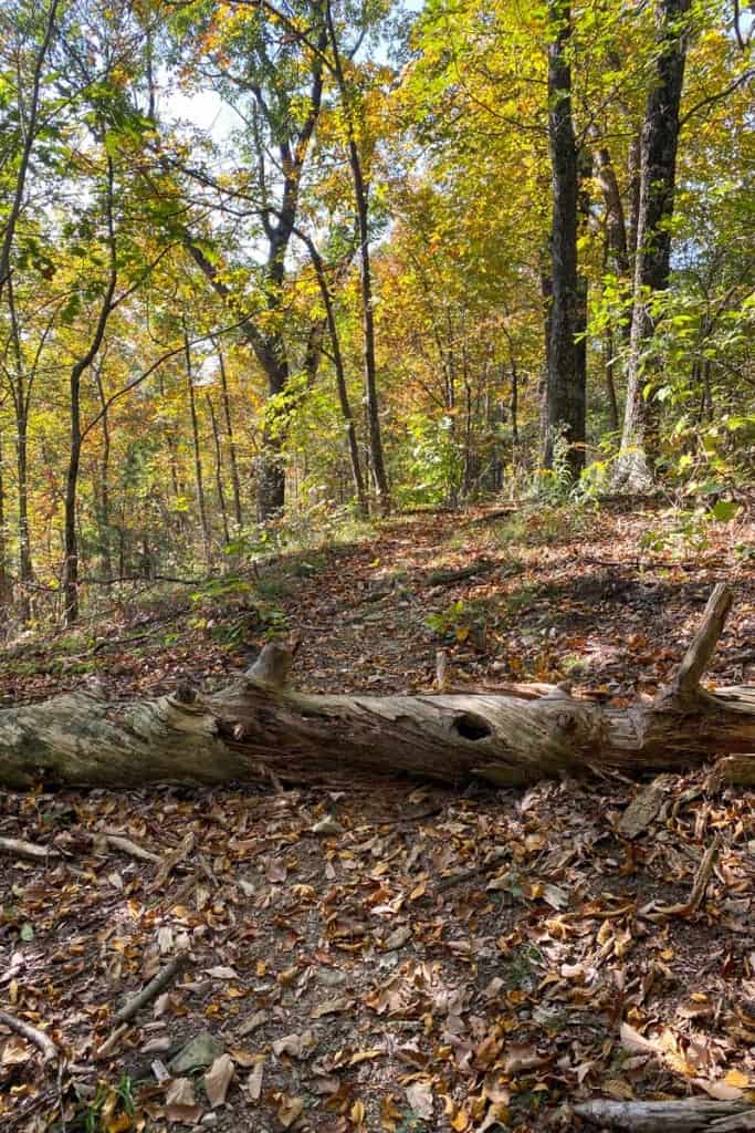
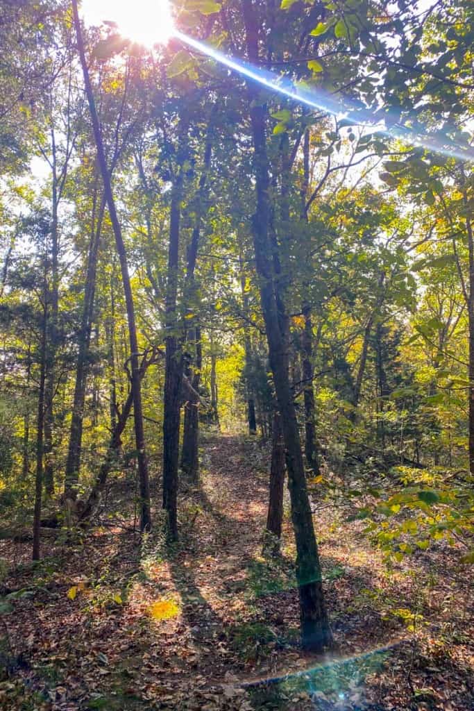
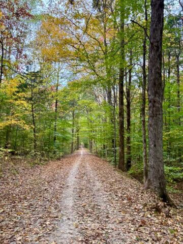
The trails were in good shape and (at first) easy to follow.

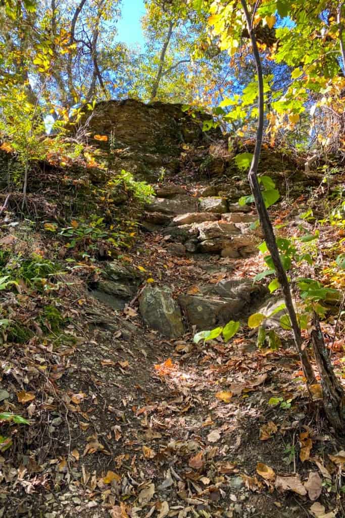
The Yellow Trail
When we reached the yellow trail, the hike got steeper.
And steeper.

The yellow trail includes this small rock scramble (pictured below).
It was a fun (and fairly easy) climb.
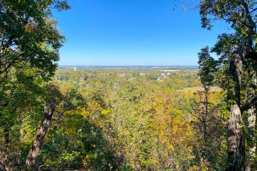
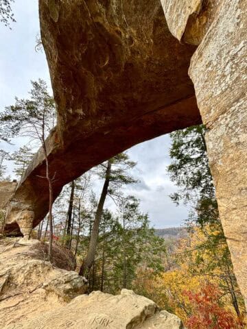
Just past the rock scramble is the Welch Mountain Overlook.
It was a pretty overlook of the town of Berea. It's possible the view would be partially obstructed by leaves in the spring and summer.
We kept hiking past the outlook, heading towards the green trail.
This section of the yellow trail was easy and relatively flat.
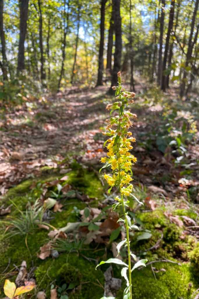
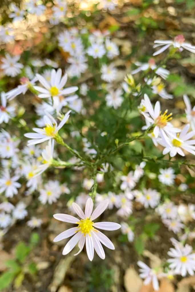
As always, I stopped to enjoy the wildflowers along the way.
We passed through a green tunnel of trees bending over the trail, and then arrived at the next trail junction.
This is where we got lost.
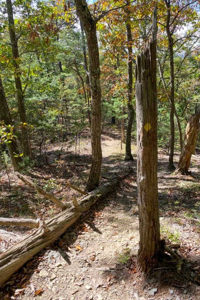
We thought that the yellow trail marker (pictured below) was the junction with the green trail, and we went right.
We were wrong. The marker actually indicated which direction we should go to continue on the yellow trail. When we turned right, we started walking on an unmarked trail that wasn't part of the official Welch Mountain trail system.
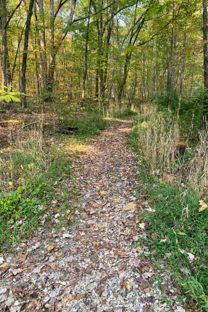
The Unmarked Trail
But guys, it was a happy mistake.
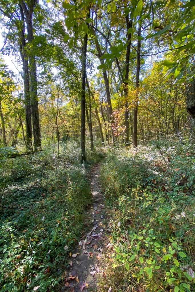
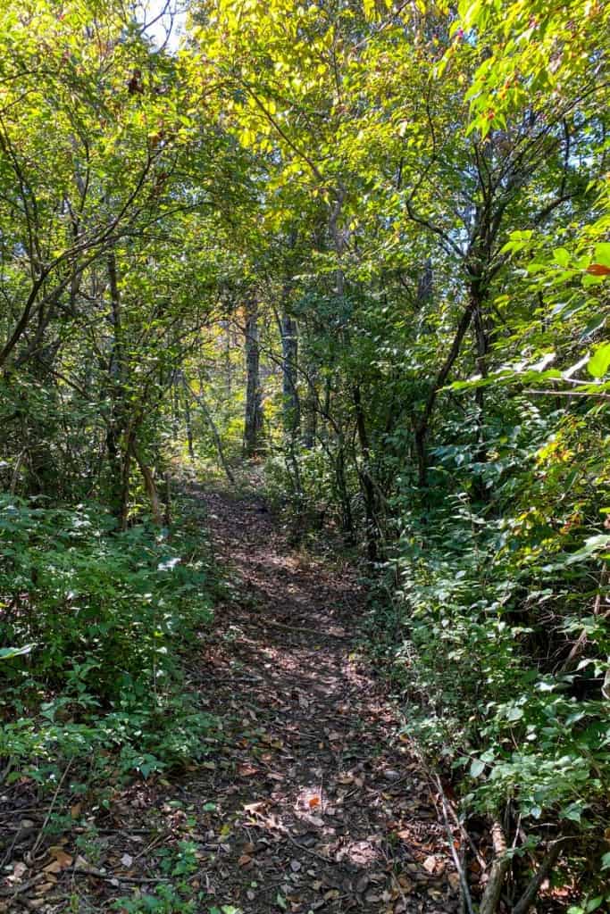
This unmarked trail was gorgeous, wide, easy to follow, and was my favorite section of the trail!
Eventually, we realized we'd made a wrong turn. We turned around and hiked (a long way) back to the yellow trail marker.
From this point, we cut down the middle of the trail system and headed back towards our car.
We loved our hike on Welch Mountain (even though we got lost!) and will definitely be back to explore more of the trails!
There's a lot to do in central Kentucky! If you're visiting in early summer, check out Woodstock Lavender Company near Somerset.


Gina says
your review is spot on. my 7 year old grandaughter and I got lost at the end of the yellow line. we headed in each direction for maybe .75 to 1 mile prior to turning around!
Sarah Trenalone says
At least it was pretty, even if we were lost! 😂