Headed to the Pinnacles in Berea, Kentucky? Check out our trail guide for West Pinnacle trail, Indian Fort Lookout, and the Devil's Kitchen spur trail.
Where are you hiking this summer?
We've been searching out trails in our local area, and are trying to go hiking as often as possible.
If you're also looking for hiking trails in Kentucky, some of our favorites include the trails at Natural Bridge, the 4C's trail and Three Bridges trail at Carter Caves, and Bernheim Forest.
Recently, we revisited the trails at the Pinnacles in Berea, Kentucky, and I remembered why I loved this hike so much.
If you follow my travel Instagram account, you might have seen my Pinnacles photos in real-time!
The Pinnacles is made up of a winding, interconnected loop of trails.
A few weeks ago, we hiked to the eastern part of the trail loop to East Pinnacle, Eagle's Nest, and Buzzard's Roost. We also love making the longer trek out to Robe Mountain and Basin Mountain.
This week, we hiked the remainder of the Pinnacles loop. This trail guide begins at the main trailhead and follows the path to West Pinnacle, Indian Fort Lookout, and Devil's Kitchen.
West Pinnacle Trail Information
If you follow the trails along this guide, you'll be hiking for approximately 3.2 miles on a moderately difficult trail. I couldn't find exact elevation change information, but my phone estimated an elevation change of about 400 feet.
This section of trails is more technically challenging than the trails on eastern side (especially the green trail), and involves some rock scrambling.
If you want to avoid rock scrambling, you'll need to use the trail map to avoid the green trail.
Getting to the Trailhead
The main trailhead is located at the Berea Forestry Outreach Center. The trail map lists a nearby second trailhead, but that parking lot and trailhead were closed when we visited.
Once you arrive at the trailhead, the trail entry is clearly marked.
Walk past the entrance sign and down the paved path until you reach the main trail information board.
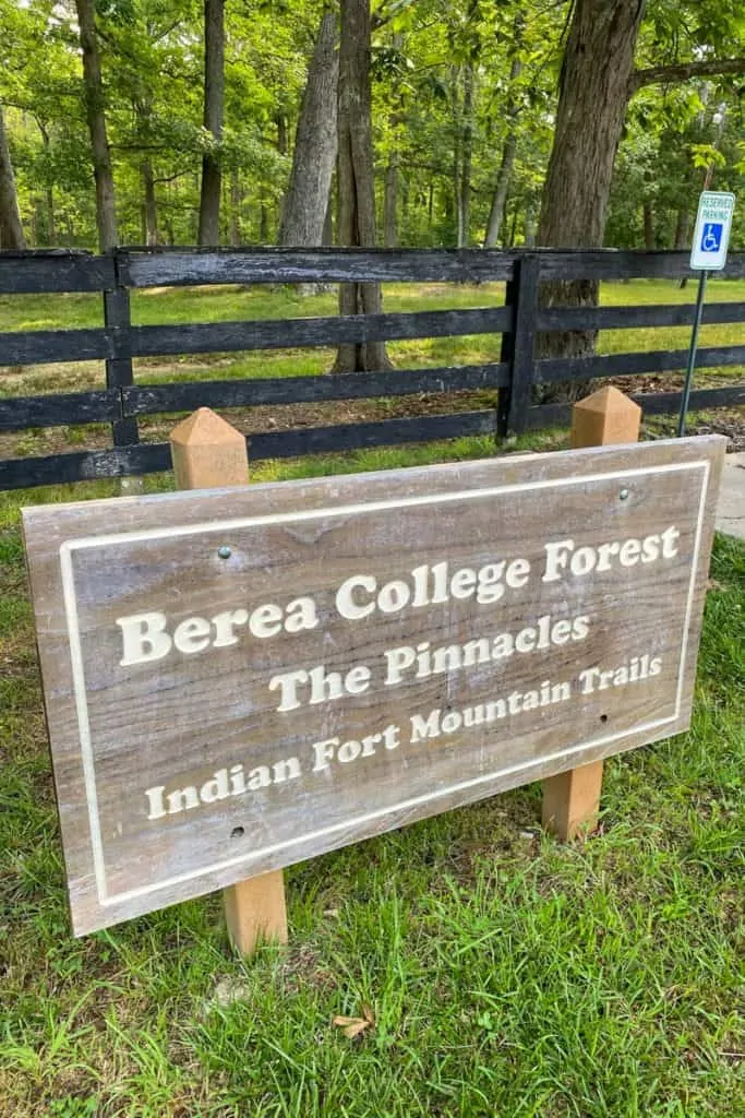
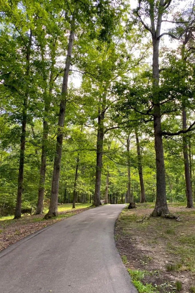
Make sure to take a photo of the trail map before starting to hike, or take a screenshot of the trail map photo below.
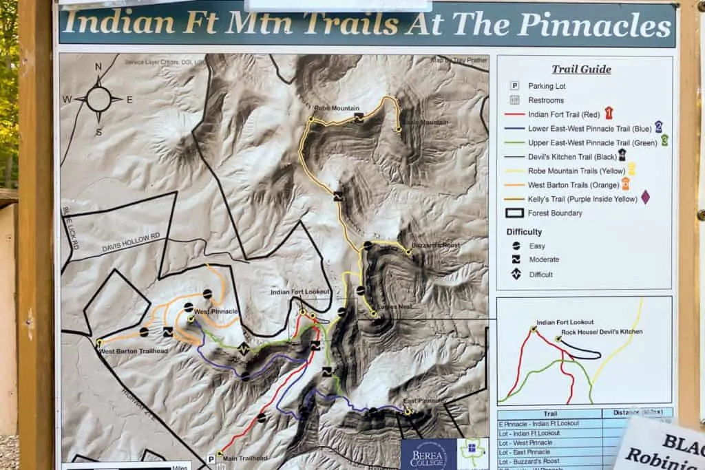
This trail guide starts at the main trailhead and turns left at the blue trail to West Pinnacle.
After reaching West Pinnacle, this guide follows the green (primitive) trail until it reaches the Indian Fort Trail junction to Indian Fort Lookout. Next, it heads to the Devil's Kitchen trail spur, and then takes the red trail all the way back to the main trailhead.
Hiking to West Pinnacle
Start at the main trailhead, and walk until you reach the first trail marker.
When you reach the trail sign, turn left for the blue trail towards West Pinnacle.
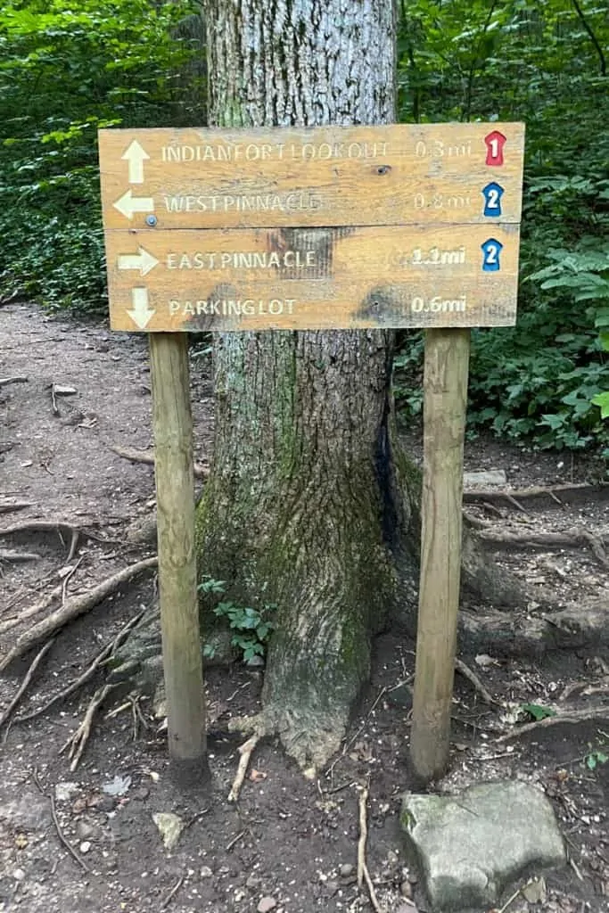
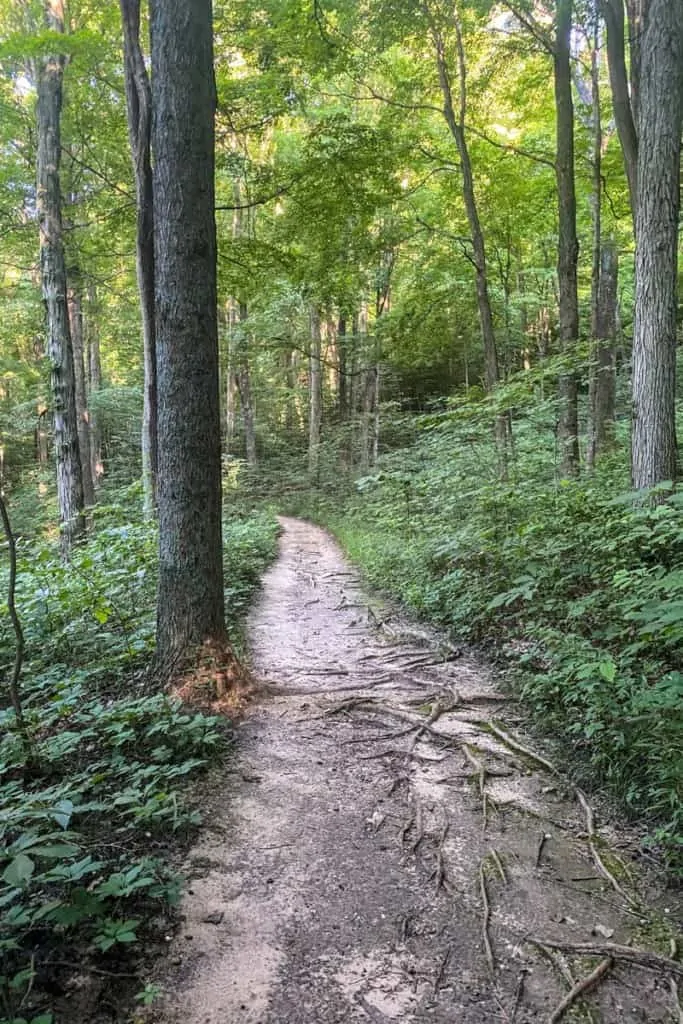
This section of the trail is easy.
There's very little elevation change, and the path is fairly clear and level.
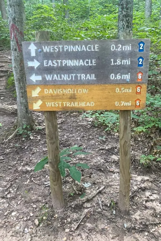
When you reach the next trail sign, continue following signs for West Pinnacle.
This section of the trail is short but steep.
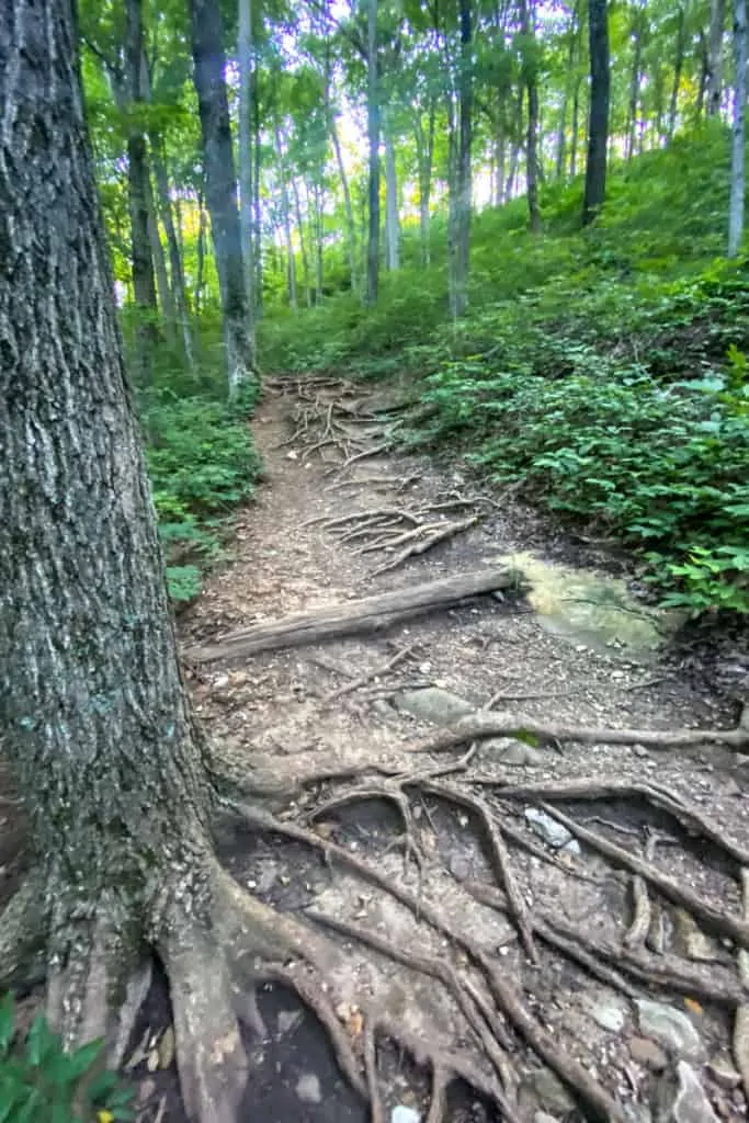
As you continue to hike up, the path will become rockier.
Watch your footing.
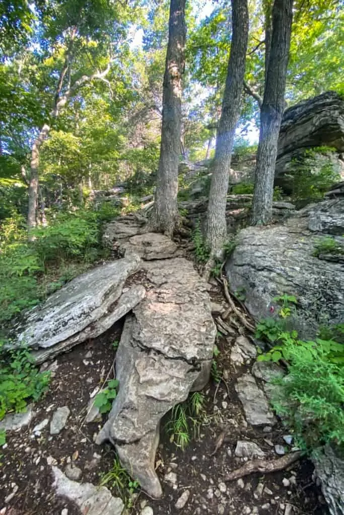
When you're close to the top, you'll come to an easy rock scramble.
Remember this section, because there's an easy-to-miss trail junction at the top of the rock scramble.
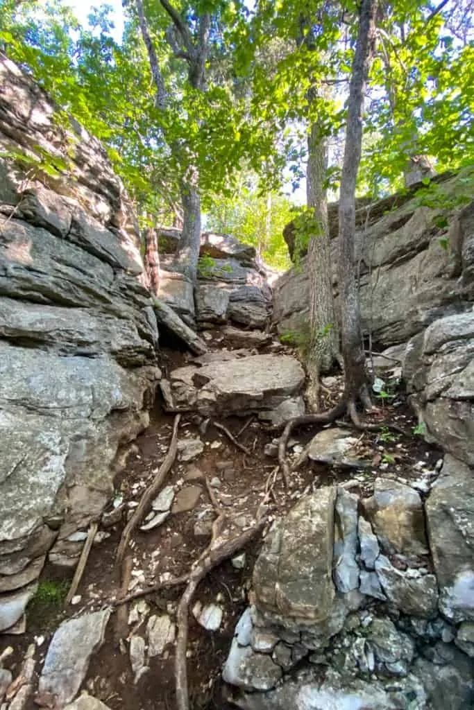
After the rock scramble, the trail turns left.
Keep going.
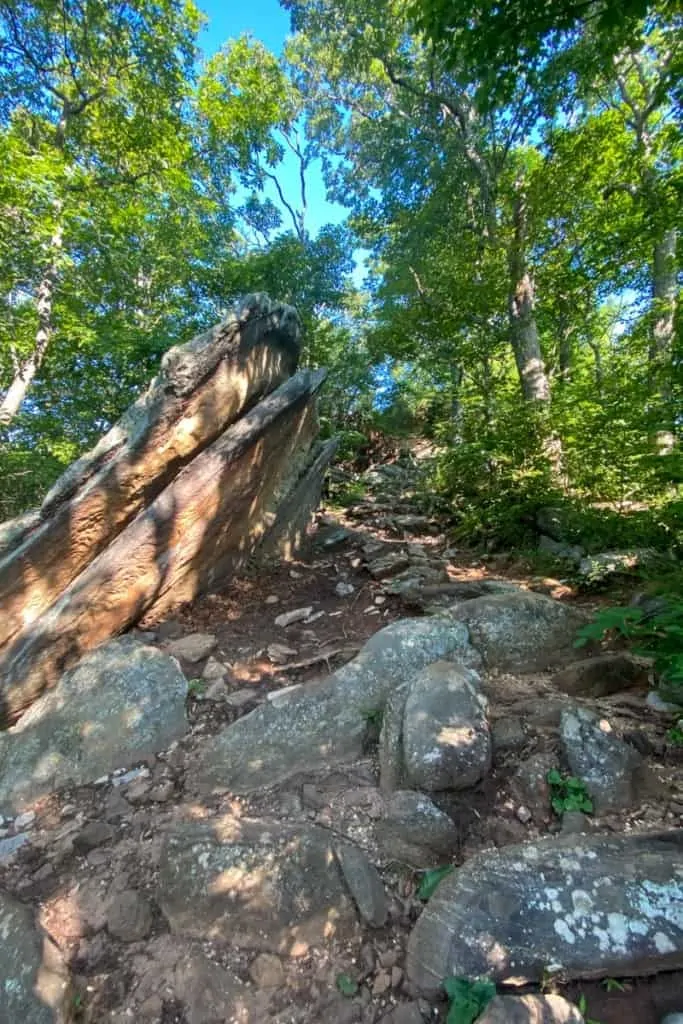
You'll quickly arrive at West Pinnacle.
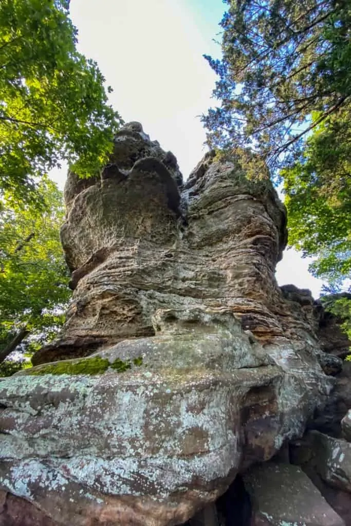
When you reach the large rock formation pictured below, you'll know you're there.
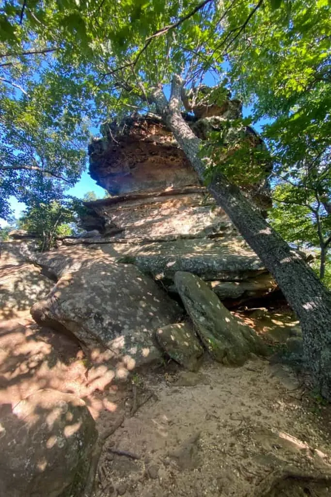
Walk around the rock for a view of the valley below.
From the trail, this overlook is mostly obscured by the trees, but it's probably a better view in the fall or winter when the trees lose their leaves.
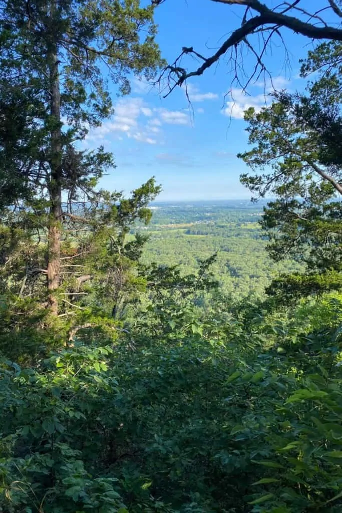
If you're feeling ambitious, you could probably get a better view by climbing up the rock a little bit, but only if you're comfortable rock climbing.
We did not climb up the rock.
Hiking from West Pinnacle to Indian Fort Lookout
When you're ready, turn around and start heading back down the trail the way you came.
You'll quickly arrive at an easy-to-miss trail junction.
Remember the rock scramble? Once you see it, stop.
In the photo below, the rock scramble path is on the right, and if you look carefully, you'll see a green number 3 on a rock on the left side of the trail. The green 3 is a trail marker for the green primitive trail.
Instead of going down the rock scramble, turn left onto the green trail.
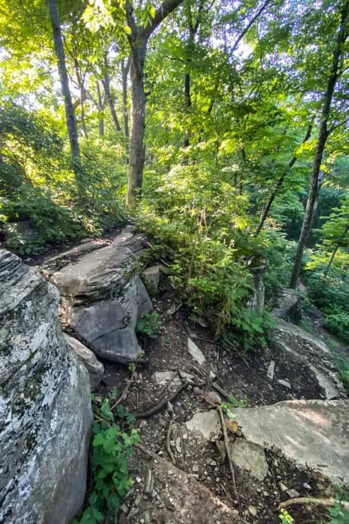
This trail is a little more primitive than the other trails in the Pinnacles, and includes a moderately challenging rock scramble.
I found this trail both challenging and fun.
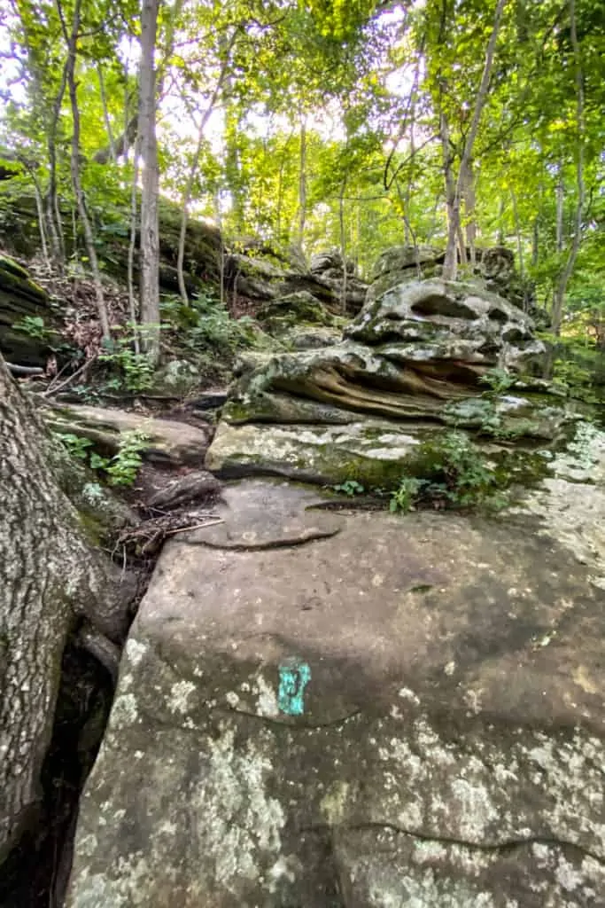
Keep an eye out for green trail blazes on this trail. In my opinion, green isn't the best color to use as a trail blaze in a very green wooded area, so the trail markers can be a little hard to see.
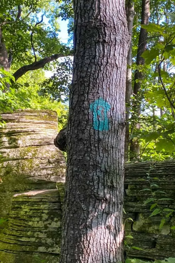
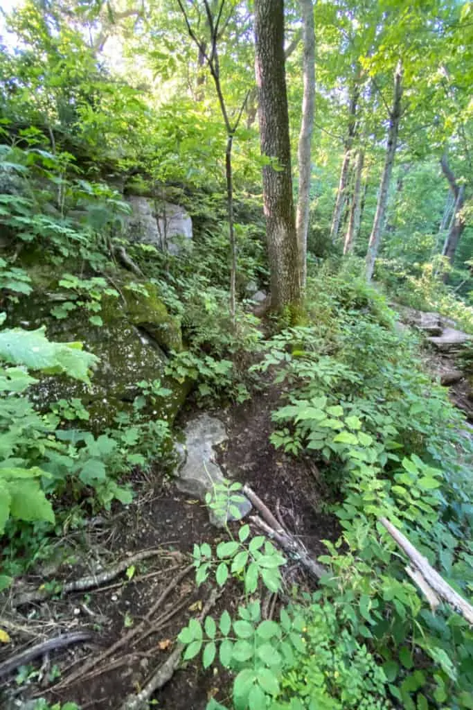
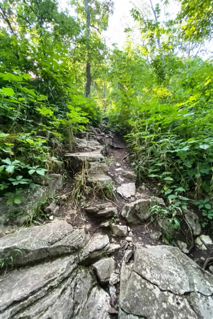
If you're ever confused about which direction to go, pause and look around.
Look for the sometimes-hard-to-see green trail blazes, like the one on the rock below.
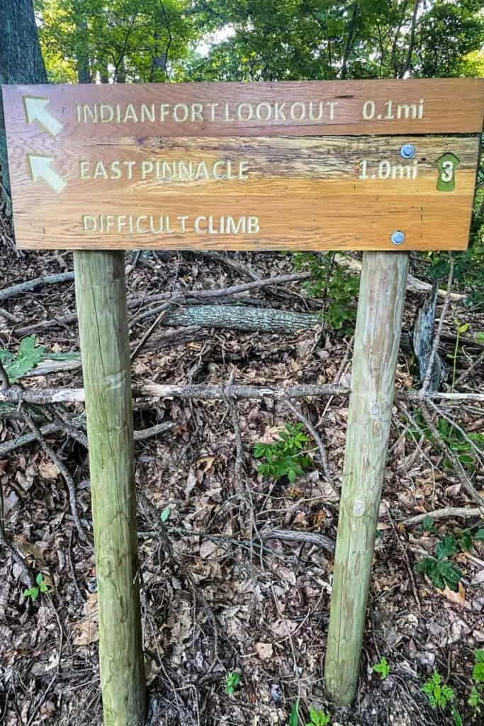
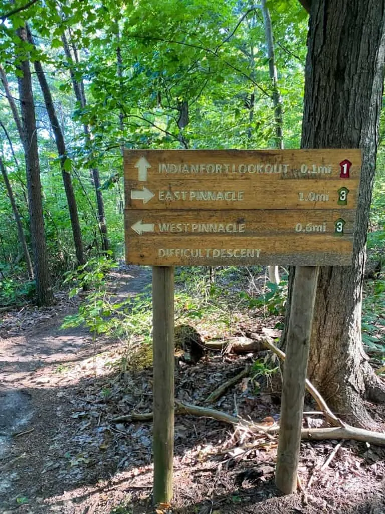
Eventually, you'll reach the next trail sign.
Keep heading towards Indian Fort Lookout.
Note that there is a difficult climb ahead.
I'm not sure if it's clear in the photo below, but there is a fairly steep rock scramble through this section.
You'll need to use both your hands and feet to climb up this rocky path.
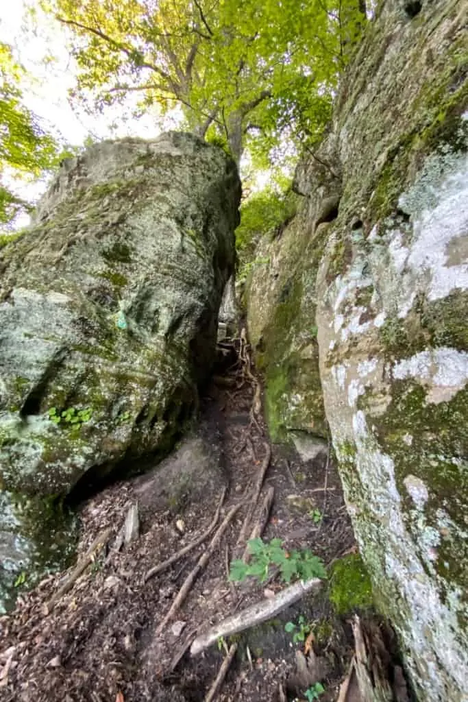
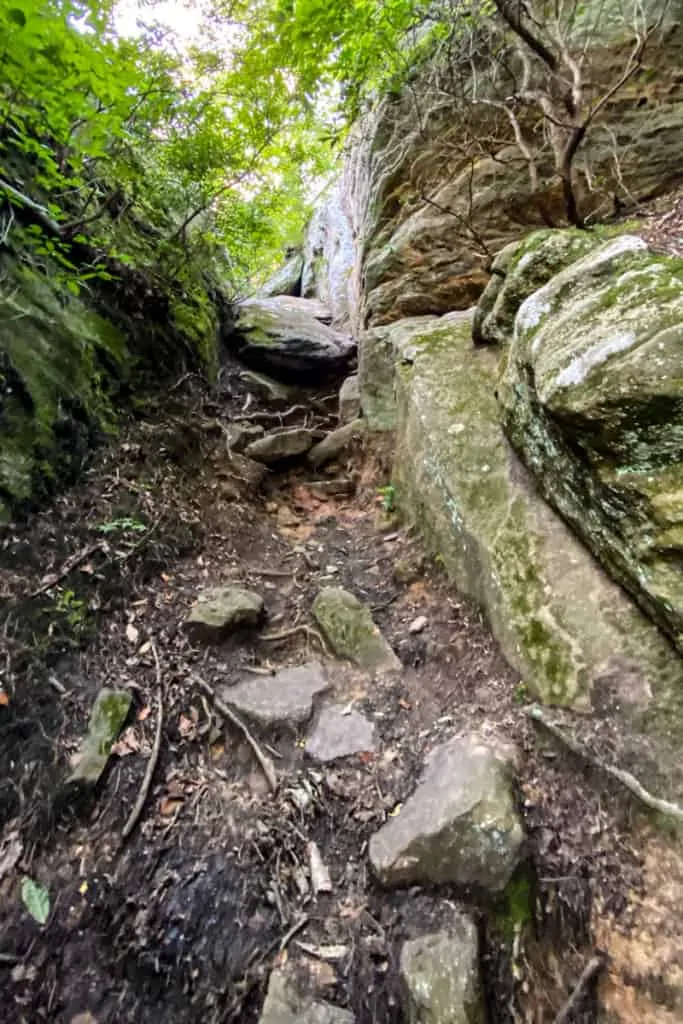
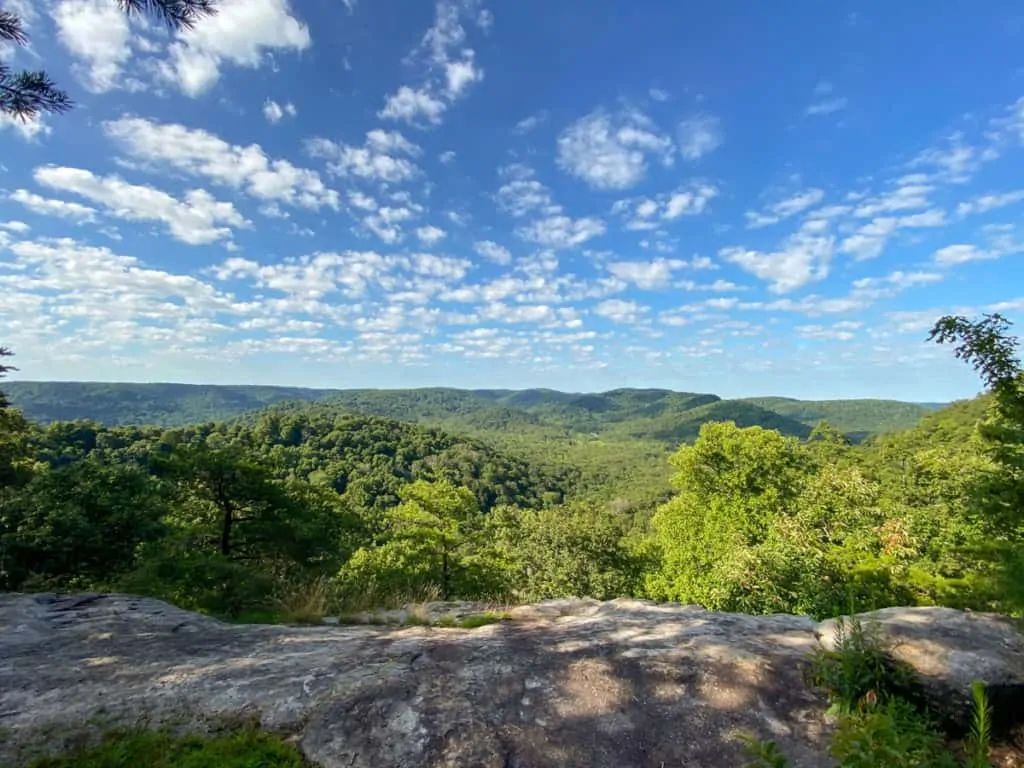
When you reach the top of the rock scramble, you'll be rewarded with a gorgeous overlook.
We used this as an opportunity to stop for a break, enjoy the views, and eat a snack.
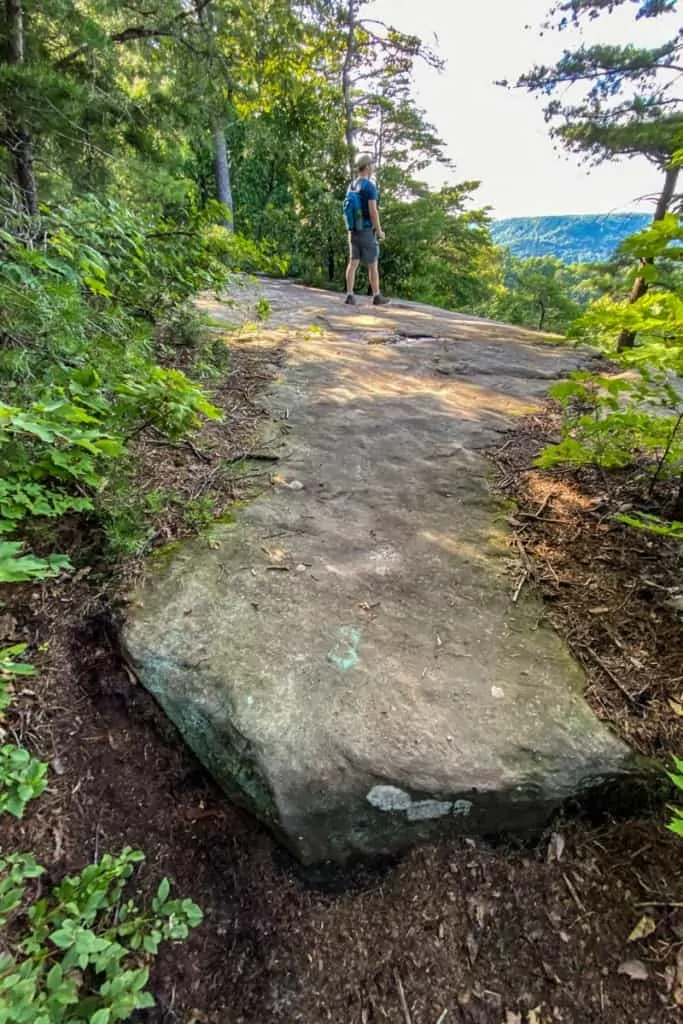
When you're ready, keep walking down the path toward Indian Fort Lookout.
You're almost there!
Right before you arrive at the actual lookout, the path follows a rocky shelf with some more spectacular views.
Pause here to enjoy, and then keep going for the actual lookout spot.
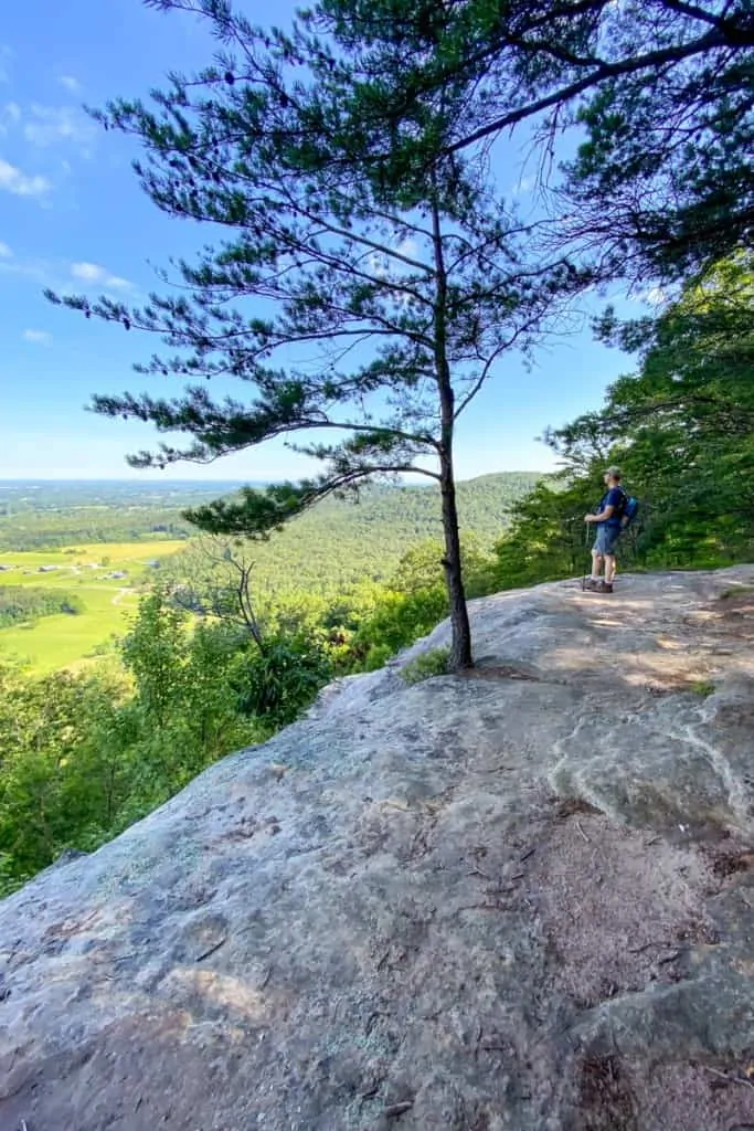
When you arrive at Indian Fort Lookout, you'll see a large rocky "lookout" area.
If you aren't alone, there's plenty of room here to spread out and stay isolated. When we visited, there was only one other couple at the lookout.
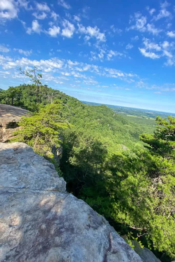
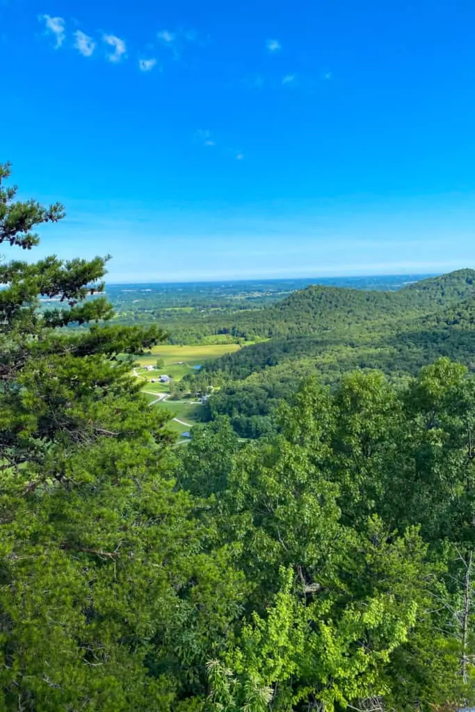
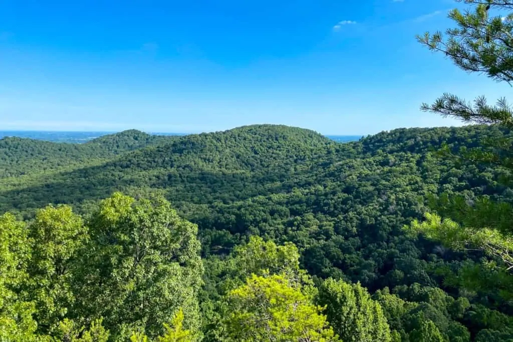
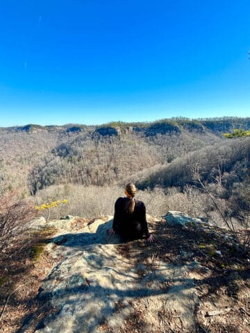
This lookout point gives you sweeping views of the town and surrounding hills.
It's gorgeous. Stop and take another break to enjoy the view.
Hiking from Indian Fort Lookout to Devil's Kitchen
When you're ready, continue hiking until you reach the next trail sign.
Follow the signs for Devil's Kitchen.
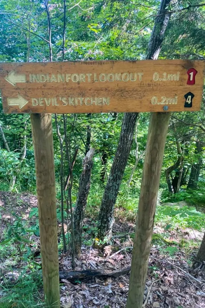
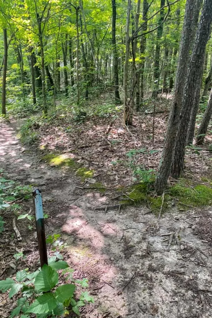
You can see the next trail junction in the photo below. Clearly there was a sign here for Devil's Kitchen at some point, but it's been gone for awhile.
Instead of a trail sign, look for the brown metal pole in the photo below. If you look closely, you'll also see a black trail blaze on the tree to the right of the trail.
Turn left.
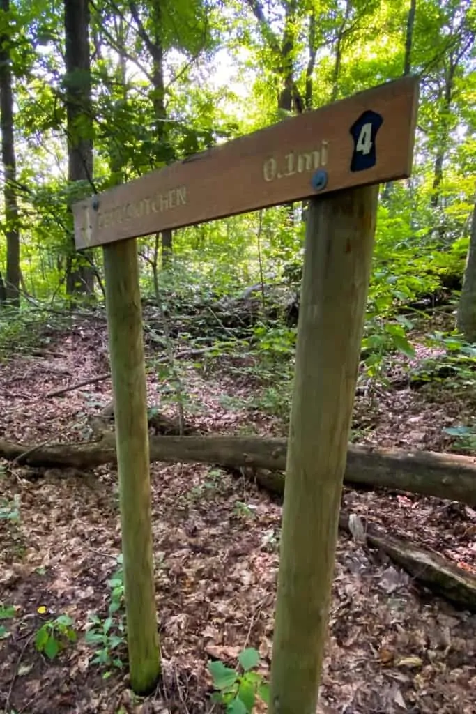
Soon, you'll arrive at the next trail sign.
Note that the arrow points down, and that this is a fairly steep trail.
It's also a short trail.
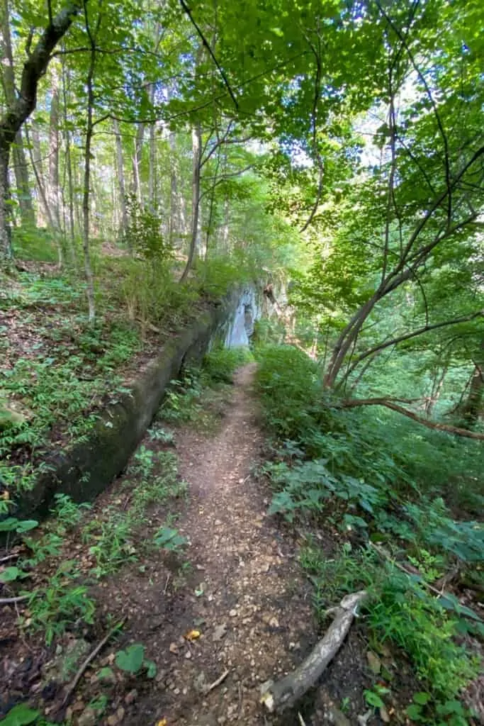
When you arrive at the spot in the photo below, it might seem like it's the end of the trail.
Especially if you get distracted by the really cool rock formation on the left.
Look carefully, though, and you'll see that the trail actually keeps going downhill on the right.
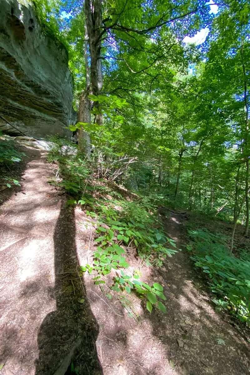
Take a moment to check out the large rock on the left.
It's pretty neat.
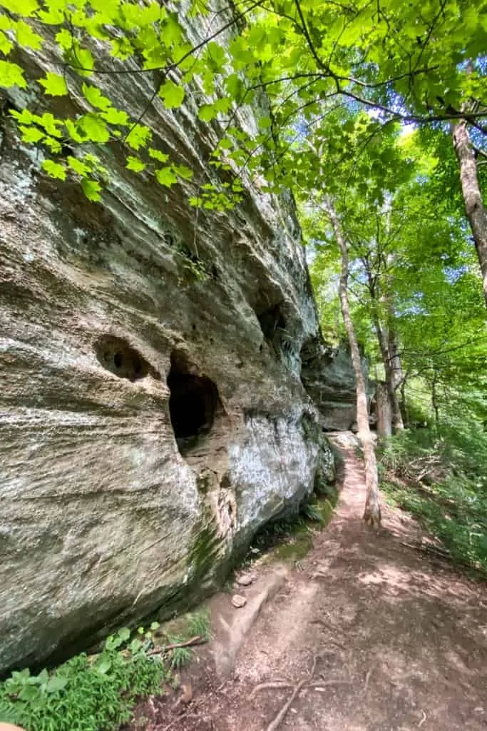
And then keep following the trail downhill.
You'll go downhill, and then back uphill, and then you'll finally arrive at the Devil's Kitchen area.
And it's pretty cool.
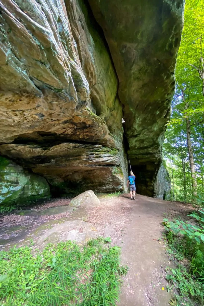
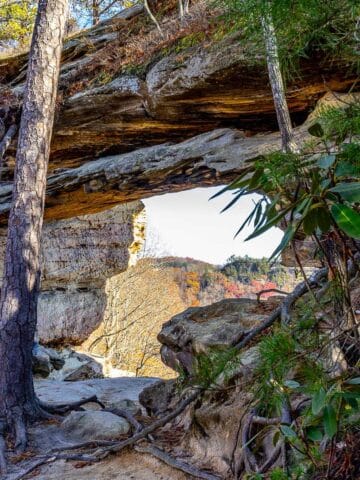
You'll see a large natural arch (or bridge), and a rocky overhang.
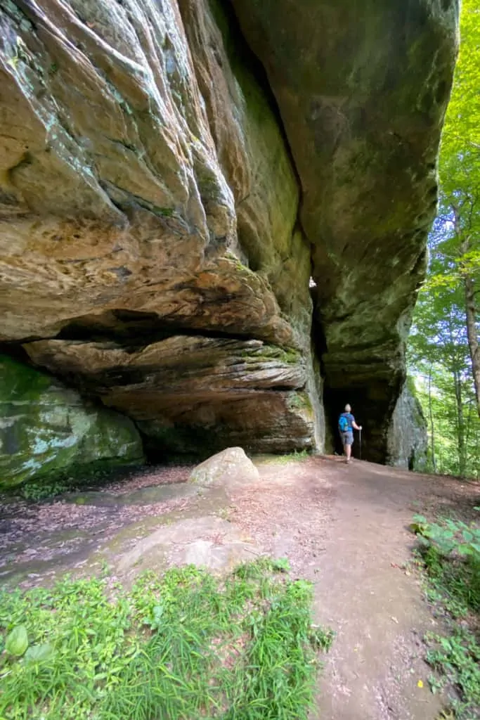
Look carefully when you're at the natural arch.
Do you see the metal grate at the top? If you were paying attention on your hike from Indian Fort Lookout, you'll remember that you walked next to this metal grate on the trail.
That's right, you are now underneath the trail you hiked on a few minutes ago.
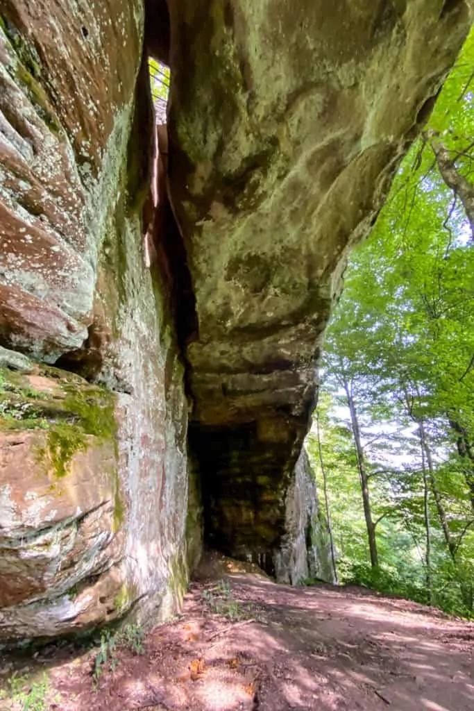
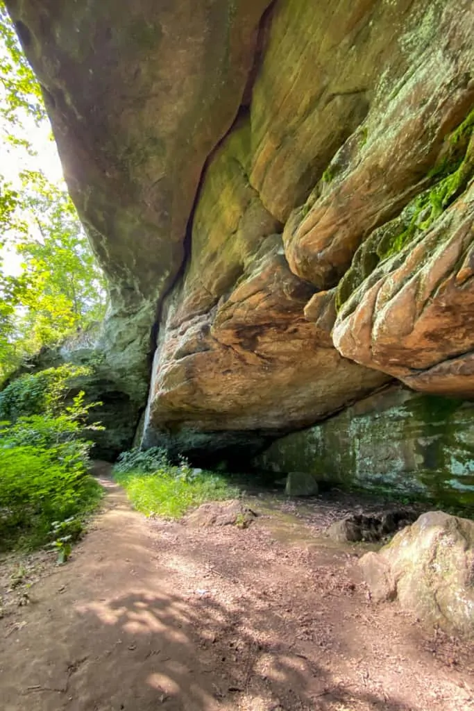
On the trail map it seems as though this trail should loop back to the main trail, but it doesn't. It looks like a loop because the Devil's Kitchen trail ends underneath the Indian Fort Lookout trail, but this is a non-connecting trail spur.
After exploring the Devil's Kitchen area, turn around and walk back the way you came.
When you reach the junction with the unmarked brown pole (where you turned onto the Devil's Kitchen trail), turn left to continue hiking along the main path.
When you reach the next unmarked trail junction, turn right.
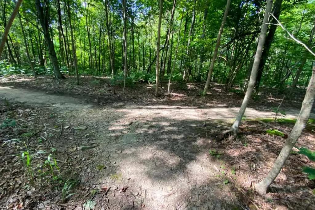
If you make a wrong turn at any of these unmarked junctions, don't worry too much about it. None of these trails are long, so you'll quickly reach a sign telling you which way to go.
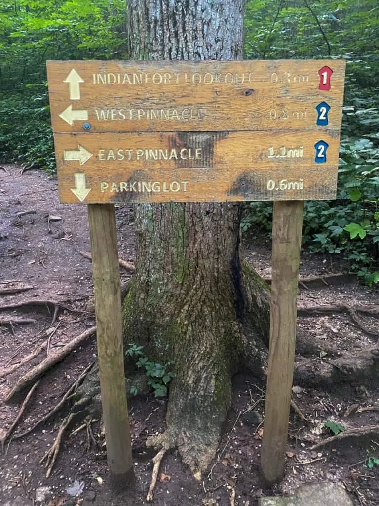
When you reach the next sign, start following the signs towards the parking lot.
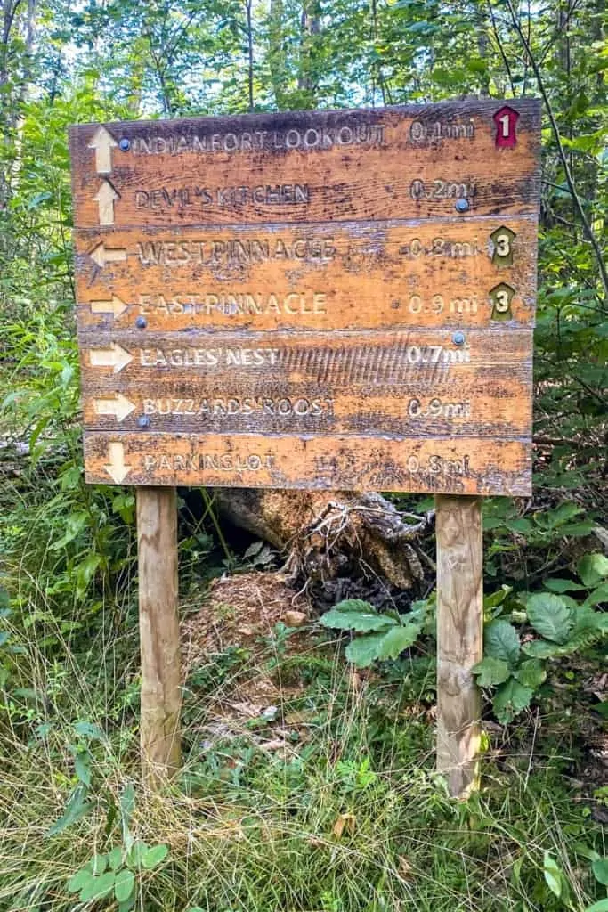
This is a fairly steep trail downhill, but it's well-maintained.
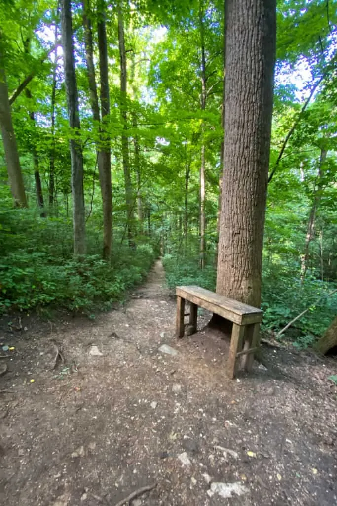
If you need to stop for a break, there are plenty of benches along the way.
At the next sign, continue following the signs for the parking lot, and keep going until you're back at your car.


Leave a Comment: