Hanson's Point is a gorgeous overlook in Kentucky's Red River Gorge. Hike this unofficial trail to see some of the best views in the area.
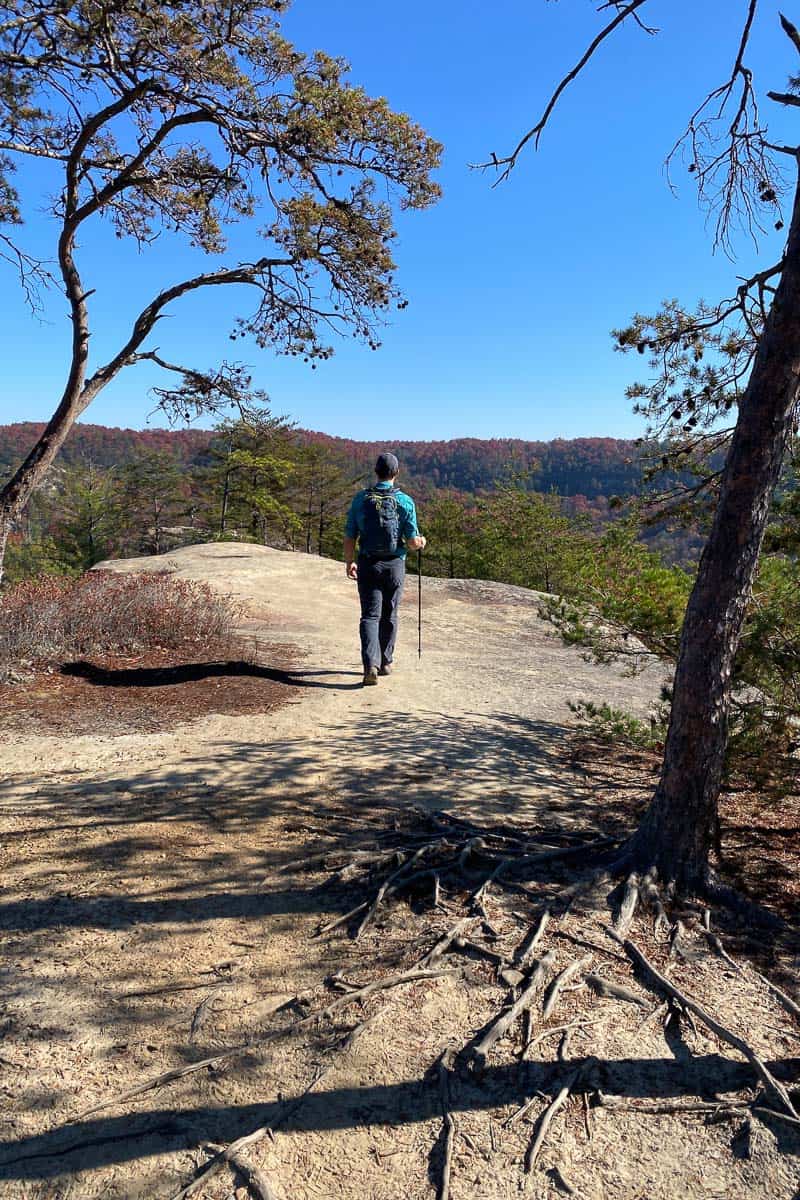
On a recent fall camping trip to Kentucky's Red River Gorge, our group decided to all go hiking together on a Saturday morning.
We headed out from Koomer Ridge Campground with plans of hiking Auxier Ridge, but didn't realize just how popular the Auxier Ridge trail is.
Not only was the parking lot full, the closest overfull lots were also full, and there was a park ranger stationed nearby to assure us that there were, in fact, other trails to hike in the area.
Apparently we'd inadvertently picked the most popular trail in the entire area.
It turns out, though, that the park ranger was completely correct. We found a nearby trail with absolutely gorgeous overlooks — the trail to Hanson's Point in Slade, Kentucky.
This turned into a fabulous backup hike.
On a different trip, we were able to return and successfully hike Auxier Ridge, making a nice long scenic loop.
Looking for more things to do in the Red River Gorge area? Check out Natural Bridge State Park, hike to Gray's Arch, Rock Bridge, or Silvermine Arch, sign up for a tour with Red River Gorge Underground Kayaking and then head to Miguel's Pizza or RedPoint BBQ for a meal.
Staying Found on the Way to Hanson's Point
Red River Gorge has a large number of popular hiking trails that are unmarked. It's one of the quirks of hiking in this area.
Be aware that if you plan on hiking to Hanson's Point, the final portion of the trail (the trail to the overlook itself) is unofficial.
What does that mean?
First, here's what it does not mean.
It does not mean that there won't be other people. This is a fairly popular destination, and on the morning we were there we saw quite a few other hikers.
Unofficial also does not mean that the trail is likely to be overgrown or hard to follow. As mentioned, this is a popular trail.
Here's what it does mean.
The final portion of the trail is not on most hiking maps. It's also (as of November 2022), not listed on Google Maps, Trailforks or three of the hard-copy trail maps I checked.
This trail can, however, be found on AllTrails. If using Alltrails, I recommend downloading the map before starting in case you lose cell service.
It can also be found in one of my favorite Red River Gorge hiking guidebooks, Hinterlands.
Hinterlands is a guide to the unofficial hiking trails in the Red River Gorge. I highly recommend it, as well as the author's guide to the official trails, the Red River Gorge Trail Guide.
I also brought along my Garmin inReach Mini 2, and it also recognized the trail.
Do not rely on my description below to guide your path. Please locate and use one of the trail maps recommended above to help yourself stay found.
Locating the Trailhead
First, know that the Hanson's Point Trail is just the last section of this hike, so there's more than one way to get there. The trailhead directions and route described below are just one of many possible options to reach Hanson's Point.
We started our trail at the Pinch-Em-Tight Trailhead parking area in Slade, Kentucky, a lot on Tunnel Ridge Road just south of the Grays Arch parking area. If you were driving to Auxier Ridge and had to turn around because the lot was full, you passed this parking area on the way in.
How Difficult Is the Trail From Pinch-Em-Tight to Hanson's Point?
This is a moderately difficult 5.1-mile out-and-back trail with a 692-foot elevation change.
I felt like this was on the easy end of moderate, but both the length and elevation change could make this challenging.
What Gear Should I Bring?
We brought along trekking poles, and I was glad to have them. I used one of my Black Diamond women's trekking poles.
I also recommend wearing sturdy hiking boots and bringing along plenty of water, especially if you're hiking in the heat. Need recommendations? See my guide to the best women's hiking shoes and boots.
Also, the overlook itself is pretty spectacular. Bring along snacks (or even your lunch) and spend some time enjoying the views.
Occasionally, at the mid-point of a really wonderful hike, we like to fancy things up and savor a delicious cup of espresso. Want to try it? Just bring along coffee (we love Illy coffee grounds), a backpacking stove (for heating water), and a hand-pump espresso machine.
Hiking from the Pinch-Em-Tight Trailhead
Start at the Pinch-Em-Tight trailhead. The trail starts off easy, crosses a gravel road, and then begins to gradually go uphill.
As you hike, you’ll pass trail junctions for Gray’s Arch, but you’ll be on the Pinch-Em-Tight trail (Trail 223) for about a mile and a half.
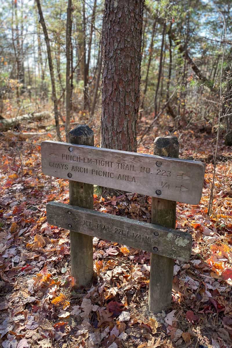
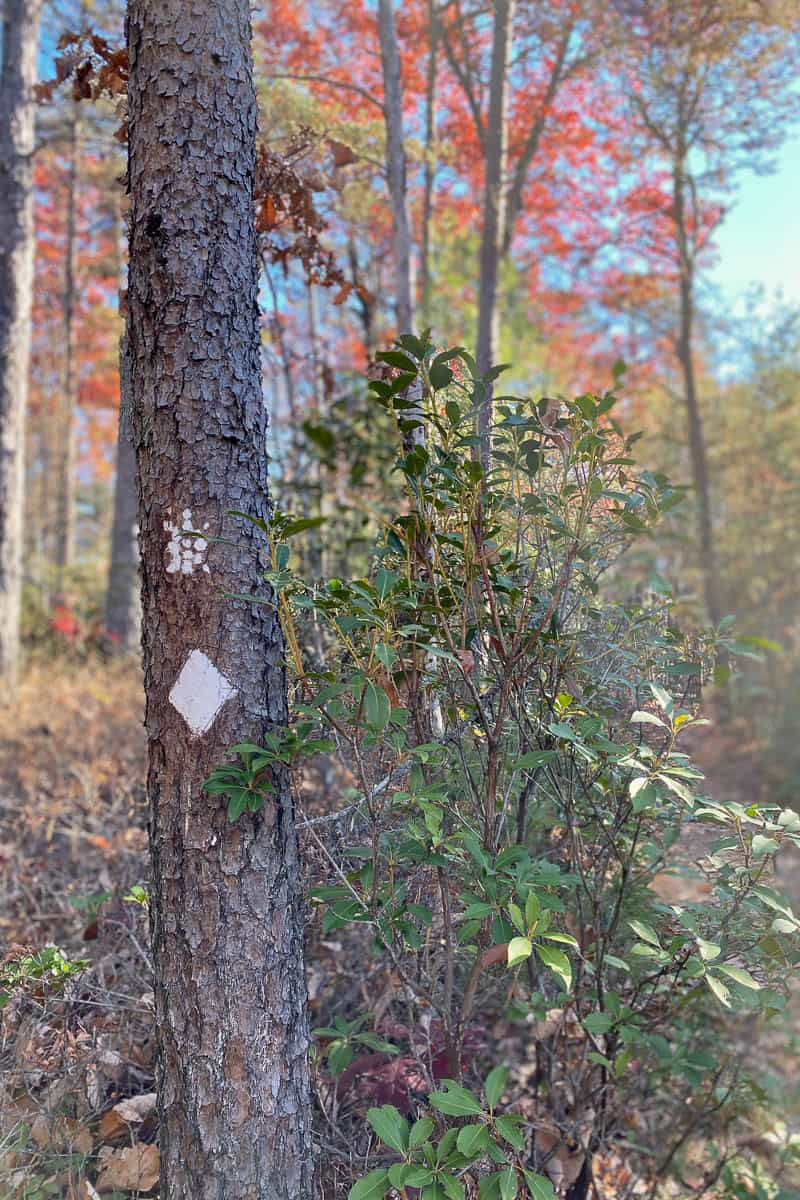
Pinch-Em-Tight is a section of the Sheltowee Trace Trail (Trail 100), a much longer through-hiking trail. The turtle trail blazes on the trees mark the Sheltowee Trace.
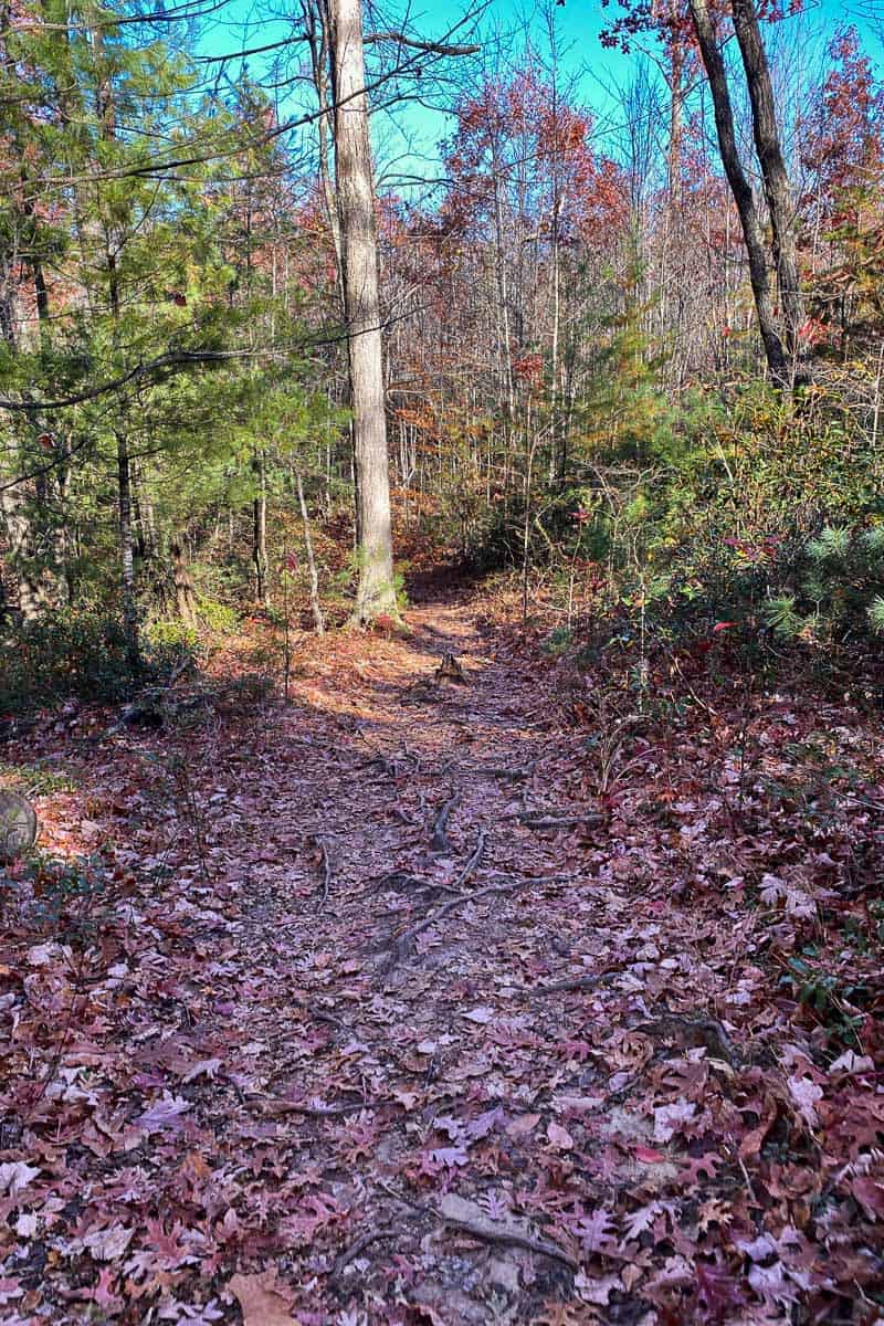
As you hike through the woods, the trail itself is mostly a green tunnel (albeit a very pretty green tunnel!), but the overlook is fantastic (so keep going!).
Rough Trail to Hanson's Point Trail
When you reach the trail junction with Rough Trail, turn left. You’ll only be on Rough Trail for about 0.1 miles.
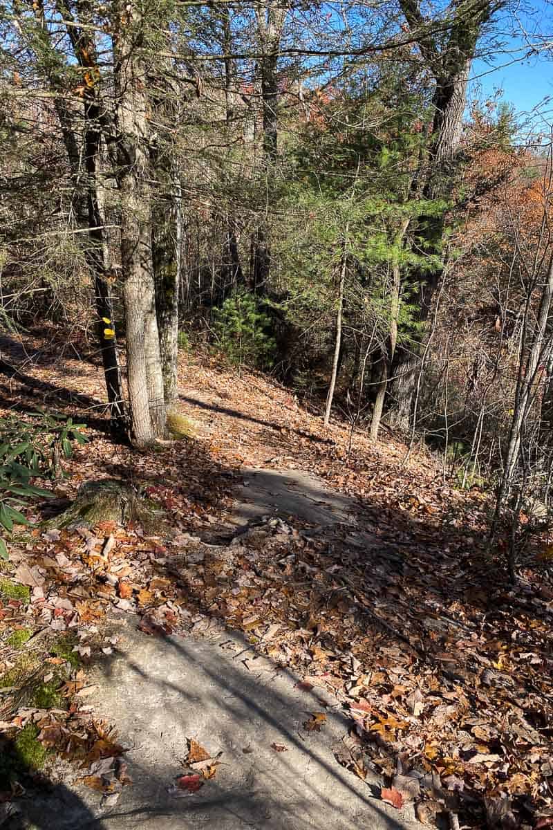
Next, you’ll turn right onto Hanson’s Point Trail, and you’ll stay on this trail until the overlook.
When we went, this trail junction (pictured below) was completely unmarked.
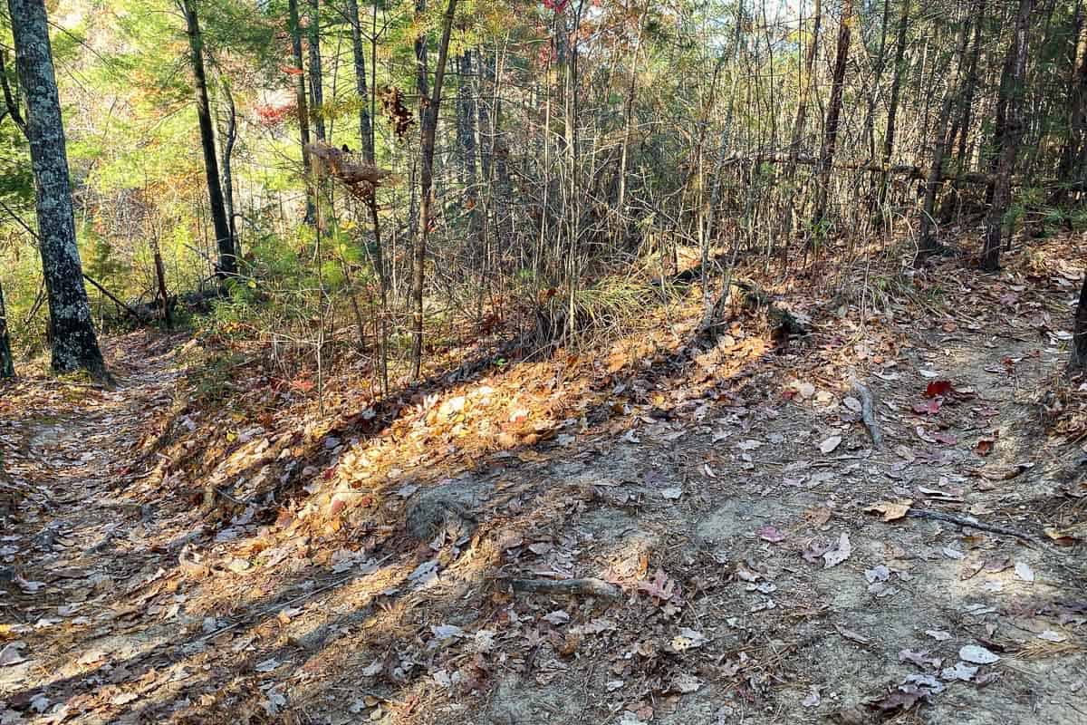
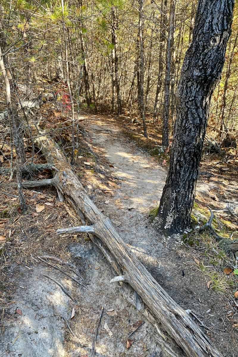
You’ll follow Hanson’s Point Trail through a pretty wooded area. You'll pass several trail spurs that lead to backcountry campsites.
When we were there, the changing leaves in this section were gorgeous.
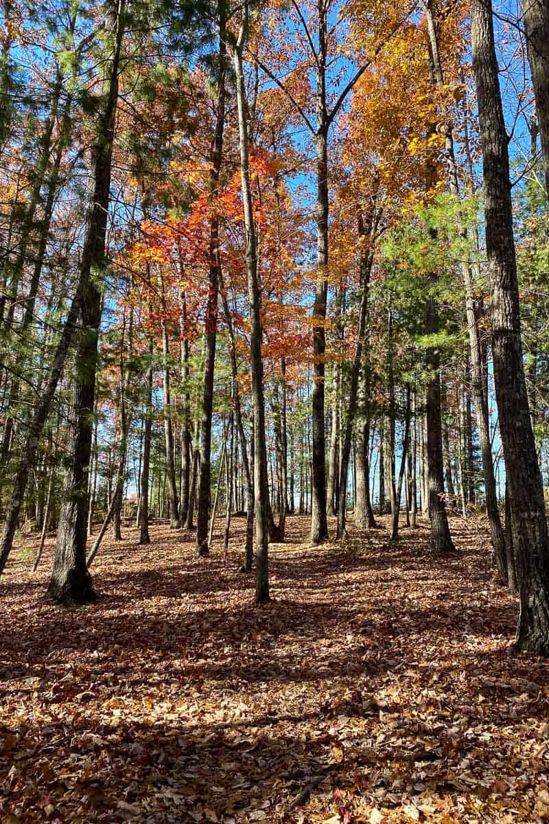
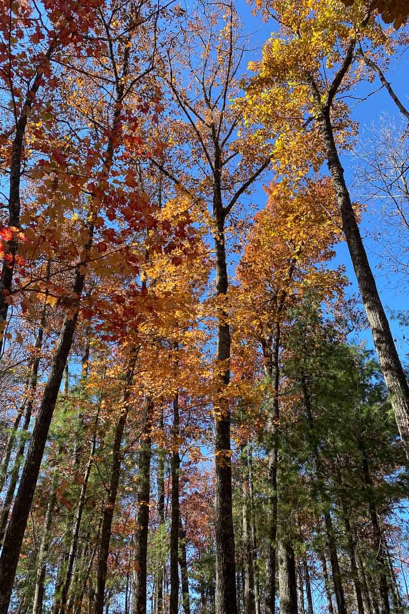
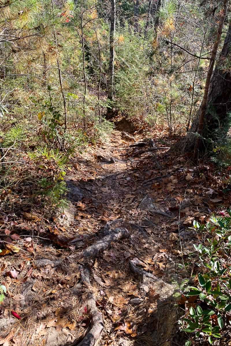
At this point, the trail begins to descend. You're almost there.
It's also worth noting that this section of the trail has semi-recent fire damage, so it's not quite as picturesque as it used to be. But in time, it will heal.
Hanson's Point
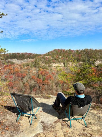
Soon, the path will clear and you'll be at Hanson's Point!
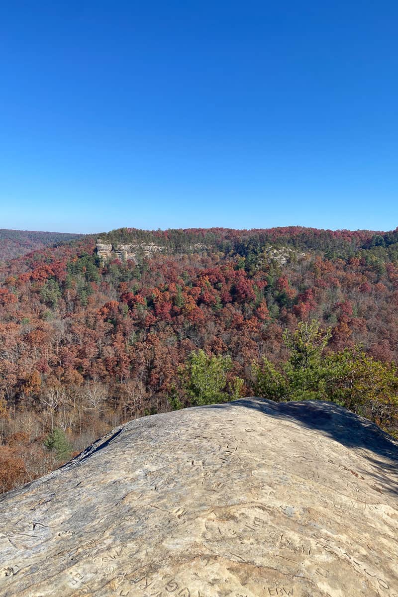
This is a perfect spot to rest, enjoy the overlook, and maybe (definitely) have a snack.
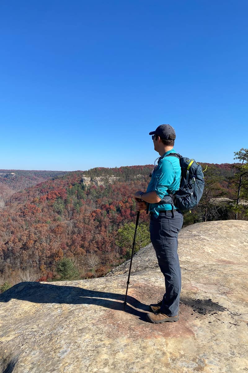
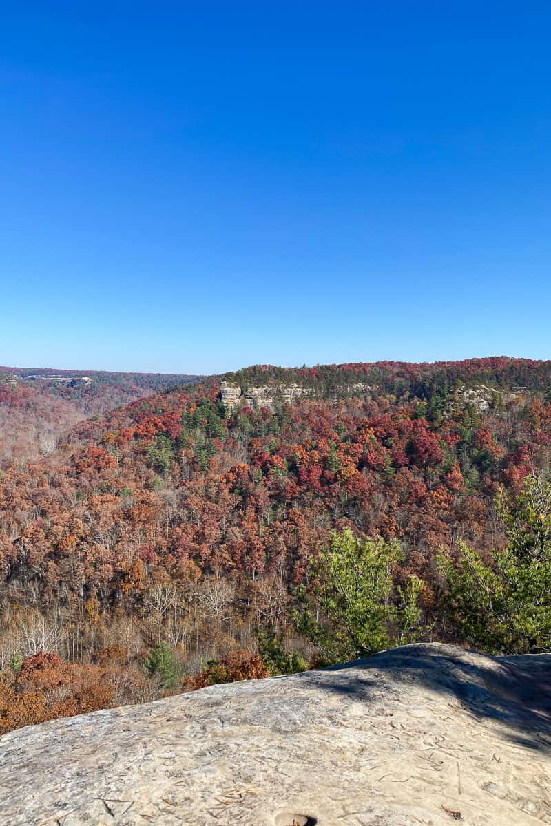
The view from Hanson's Point is, arguably, one of the best in the whole gorge area, because it shows off some of the most notable rock formations.
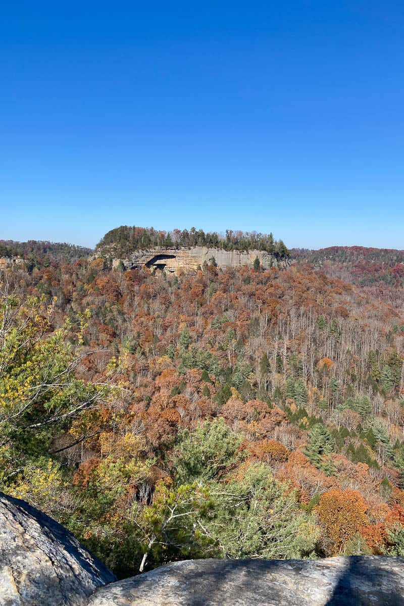
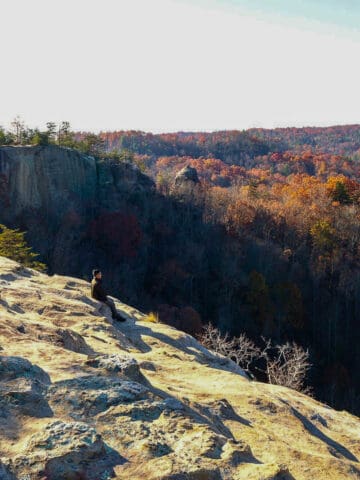
It's also worth noting (in case it isn't obvious from the photos) that there are steep drop-offs at Hanson's Point. Take care as you explore the area. Be aware of your surroundings and make good decisions.
When you’re ready, head back the way you came.



Leave a Comment: