Sweat Heifer Creek Trail is a gorgeous, less-traveled waterfall trail to Sweat Heifer Cascades in the Great Smoky Mountains National Park.
On a recent trip to the Smoky Mountains, it rained. And rained. And then when it was supposed to stop raining – it rained some more.
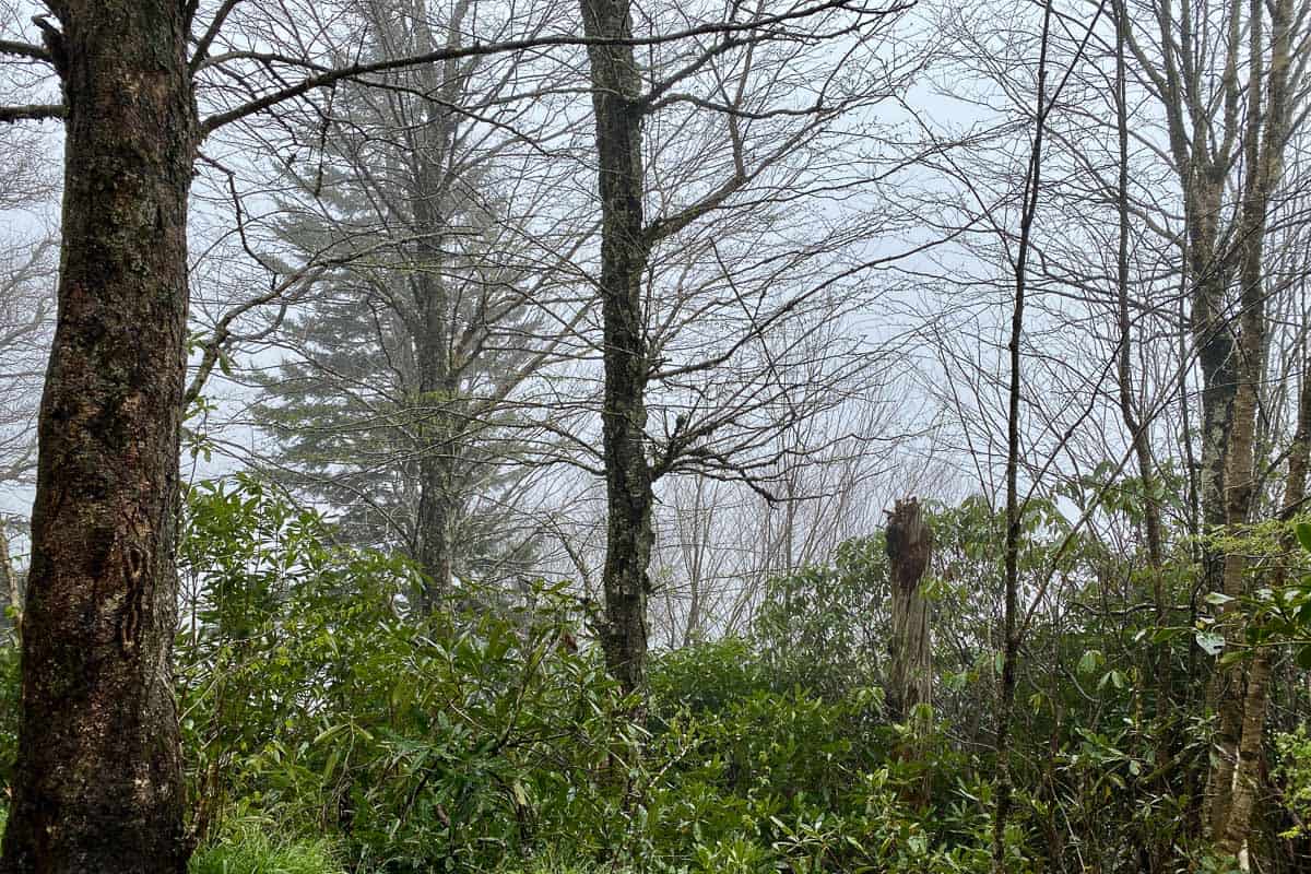
We’d planned to hike to an overlook, but the dismal weather meant we would only be overlooking clouds. So instead, we opted to hike to waterfalls!
Looking for more Smoky Mountains hikes? Try Deep Creek, Abrams Falls, Alum Cave Trail, or Andrews Bald! Also, see my tips for avoiding crowds in the Smokies.
Sweat Heifer Creek Trail Information
Sweet Heifer Creek Trail is very close to the state border, making it a good option if you're trying to do things on the North Carolina side of the park.
In itself, the trail is 3.7 miles long. But it begins and ends at junctions of other trails, so once you've seen the waterfalls, you might choose to either backtrack and return to your car, or continue forward on a different trail.
Either way, you'll be adding miles to the length of the hike.
There is a 2,234-foot elevation change.
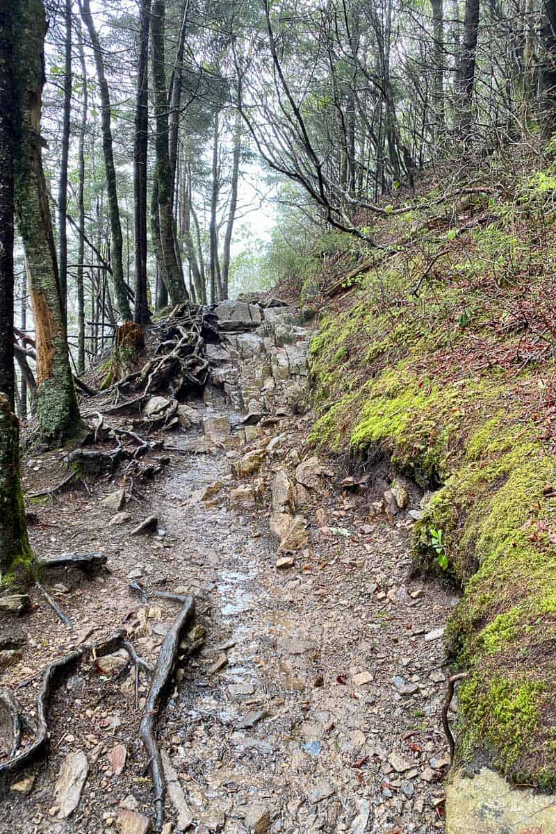
It’s a difficult trail because of the elevation changes, but the trail conditions themselves aren't technically that difficult.
What Is the Best Time to Hike This Trail?
The waterfalls will be at their best after a rain storm, or on a dreary, drizzly day. That said, please do not go hiking when there are severe storm warnings.
If the water is flowing strongly, you’ll pass three waterfalls on this hike. During the dry season, the waterfalls may be much smaller (or even dried up).
Also, as the trail name implies, this trail will make you sweaty! This is a nice trail to hike on a cool day.
Recommended Gear
We carried our Black Diamond Alpine carbon trekking poles.
The poles really make a difference when you're dealing with elevation changes.
Make sure to have some sturdy waterproof hiking boots (I wore Keen Pyrenees), as well as a rain coat (if hiking in the rain!).
You'll likely be expending a lot of energy, so have plenty of snacks and water available. Consider adding some electrolytes. (I like these electrolytes).
There's always the potential for seeing a black bear while hiking in the park. The park website has some tips for how to behave if you see a bear. (We carry this bear spray from Sabre.)
Finally, bring along a map. I'm a fan of the Smoky Mountains Trail Map from National Geographic.
How To Reach Sweat Heifer Creek Trail
You'll need a paid parking permit (which, as of spring 2023 is required for anything above 15 minutes). Buy it online or when you arrive in the park.
From the Newfound Gap parking area on Highway 441, hike northeast along the Appalachian Trail for 1.7 miles.
(This is also the trail you would use to hike to Charlies Bunion, but for the Sweat Heifer Creek Trail, you'll be turning off long before you reach that point.)
Once you turn onto the Sweat Heifer Creek Trail, you'll be at its western-most point.
You'll hike for about two miles, and will have passed three waterfalls (if the water flow is high). Then you can turn around, and return the way you came.
This recommended route along the Appalachian Trail to the Sweat Heifer Cascades is approximately a 7.4-mile round-trip, with an elevation change of just under 2,400 feet.
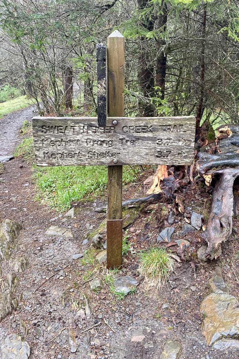
You can also access this trail from other adjoining trails, such as the Kephart Prong Trail.
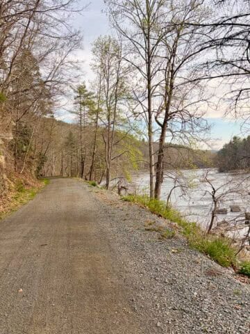
Hiking the Appalachian Trail to Sweat Heifer Creek Trail
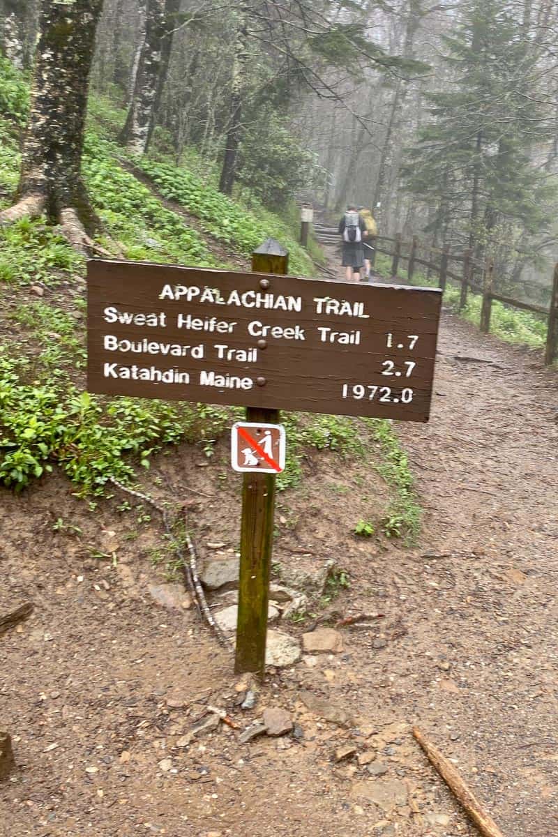
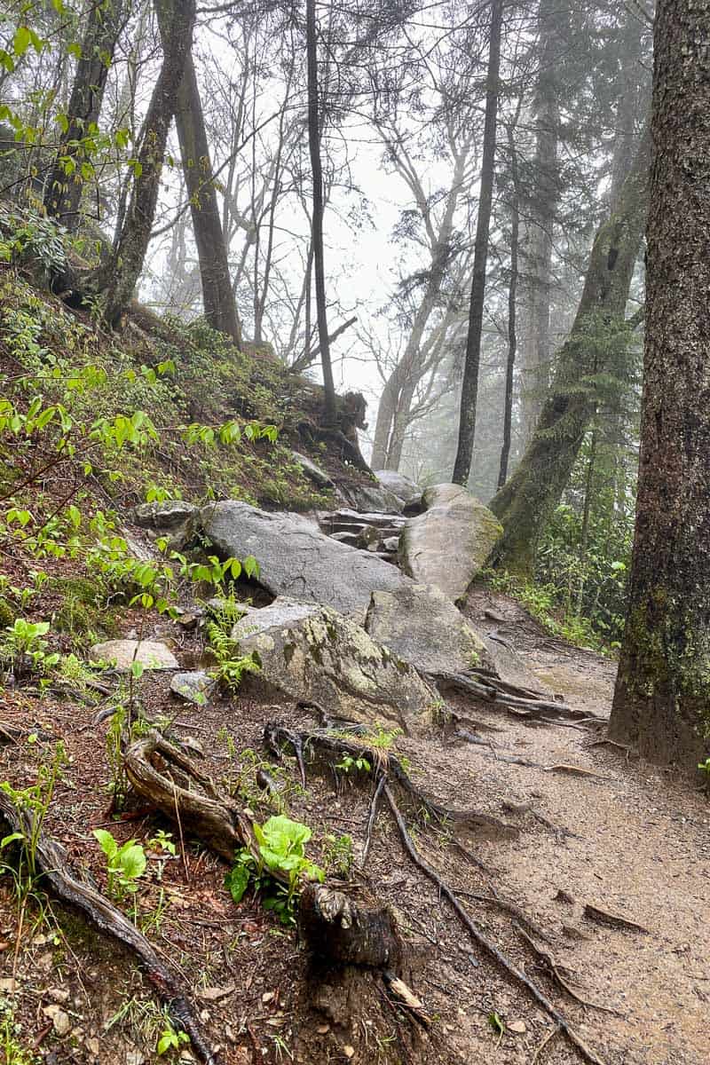
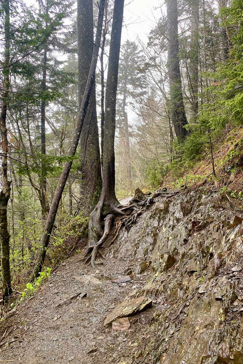
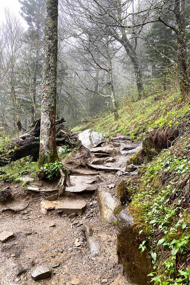
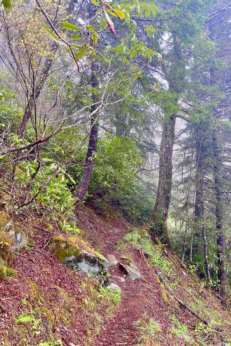
This 1.7-mile stretch of the Appalachian Trail is a rocky, uphill section.
It's also likely to be the busiest part of the trail, with lots of Appalachian Trail through-hikers, and day-hikers headed to Charlies Bunion.
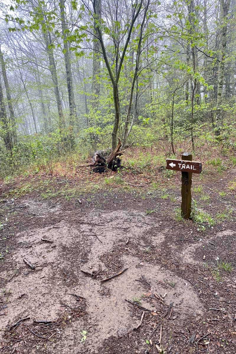
A sign will alert you to the junction of Sweat Heifer Creek Trail, which you'll take.
Husky Creek Waterfall
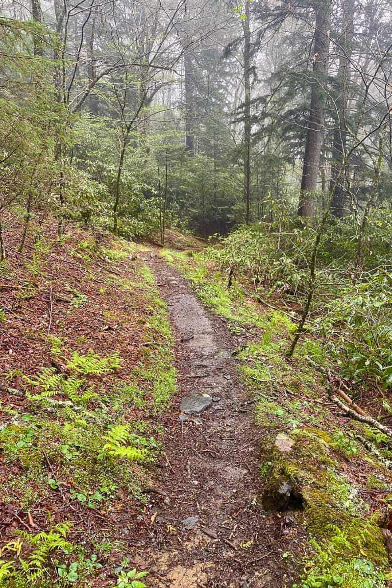
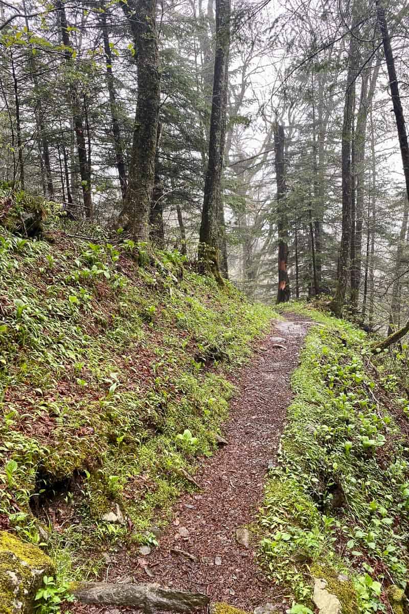
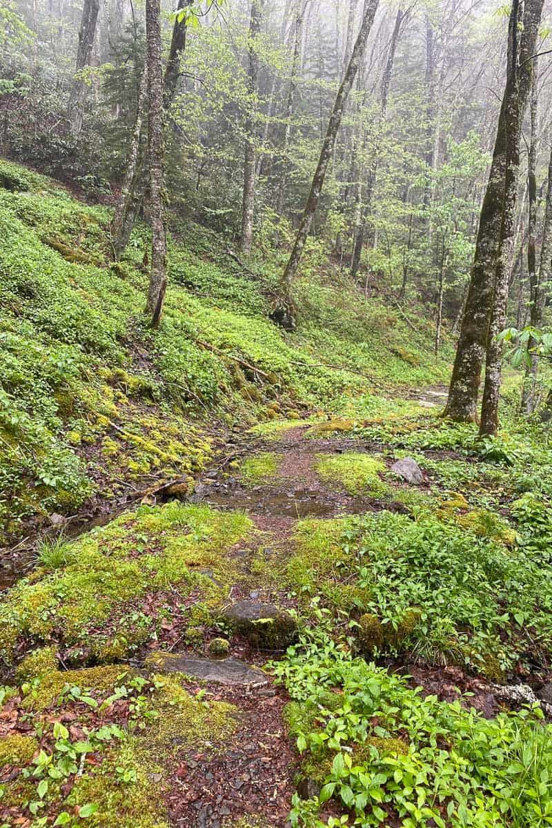
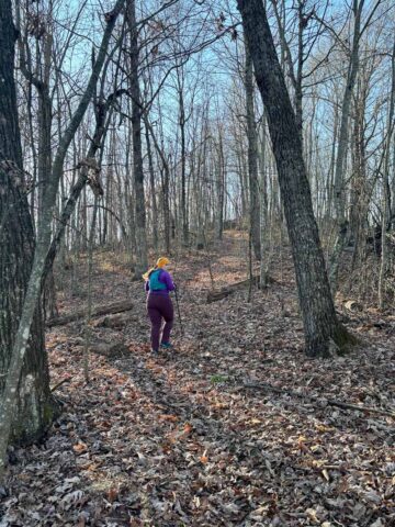
The trail looks overgrown in parts but quickly gets clearer. It’s a steady path downhill.
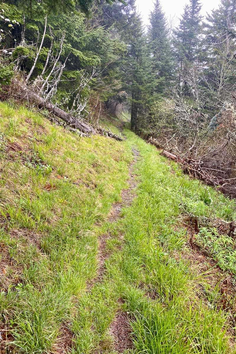
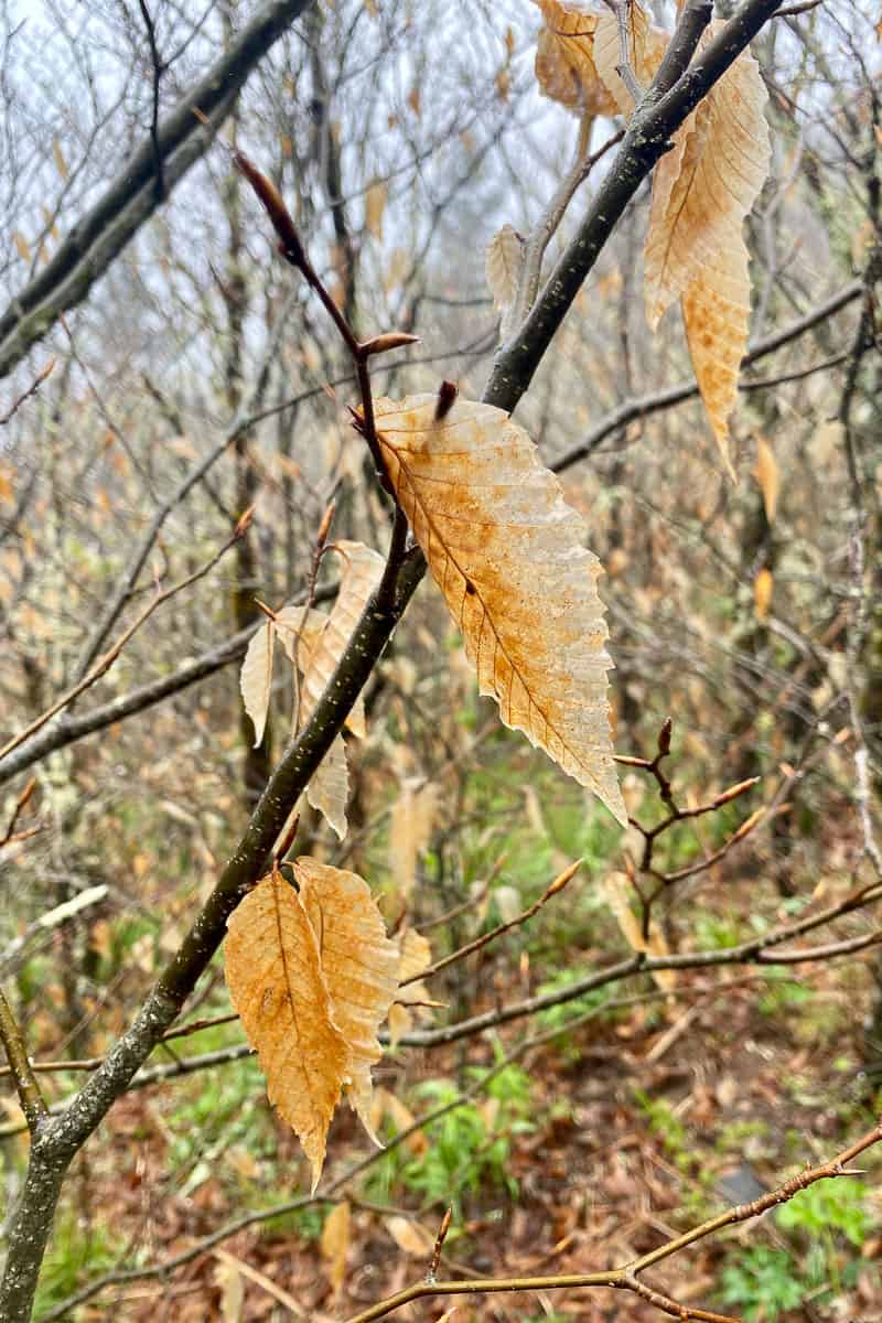
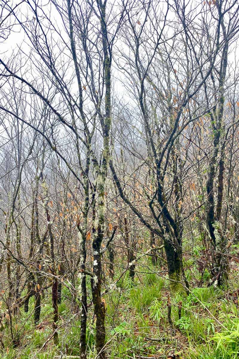
You'll be walking through a pretty, grassy area surrounded by birch trees.
Headed down, the trail seems fairly easy, but keep in mind that you're actually descending quite a bit and will need to walk back out.
In a little less than a mile, you'll reach the first and smallest of the three waterfalls, Husky Creek Waterfall.
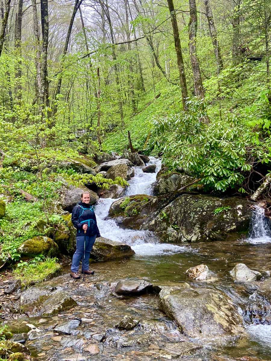
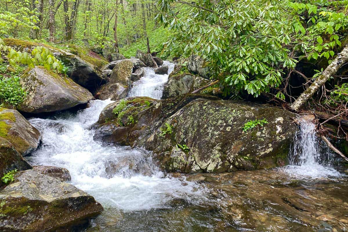
Sweat Heifer Cascades
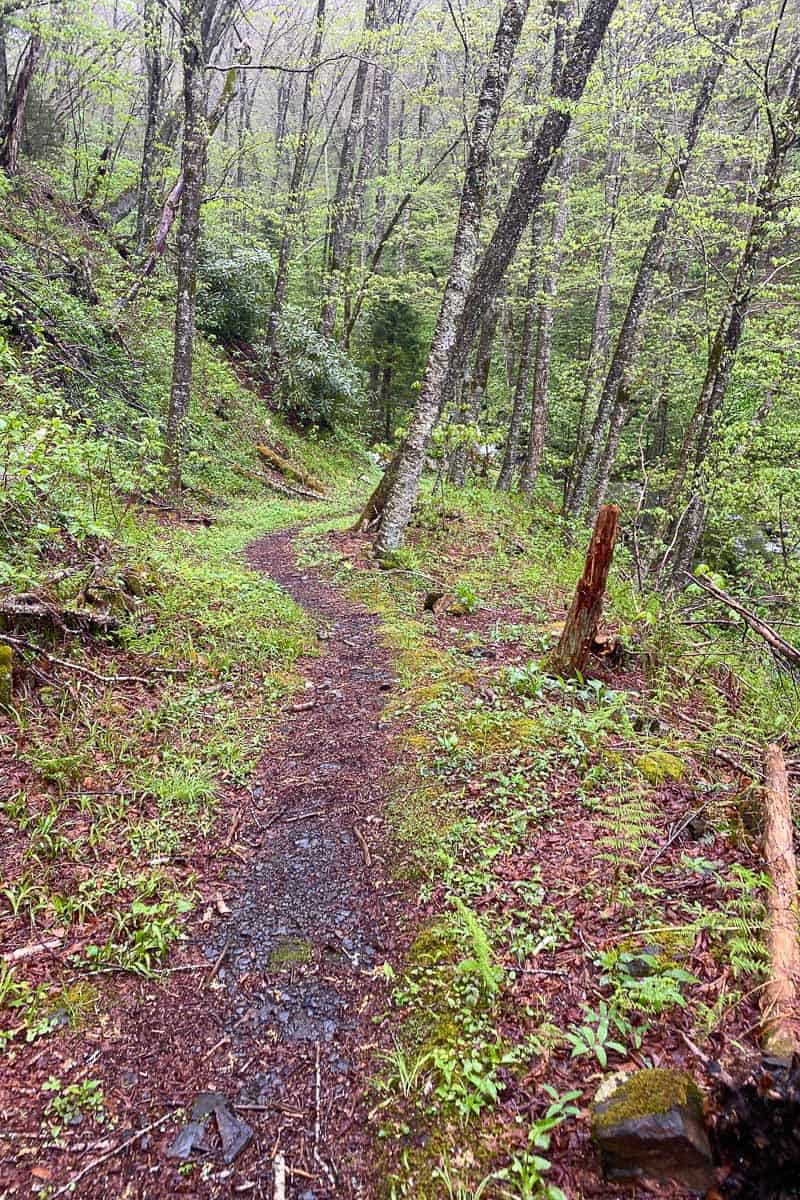
Continue on from Husky Creek Waterfall.
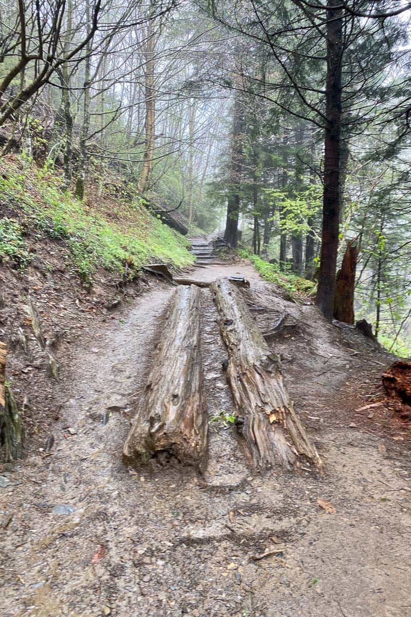
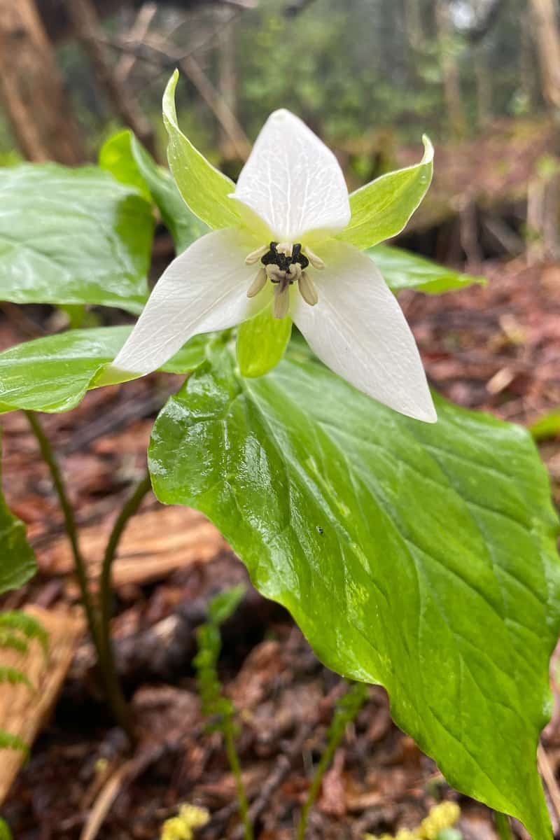
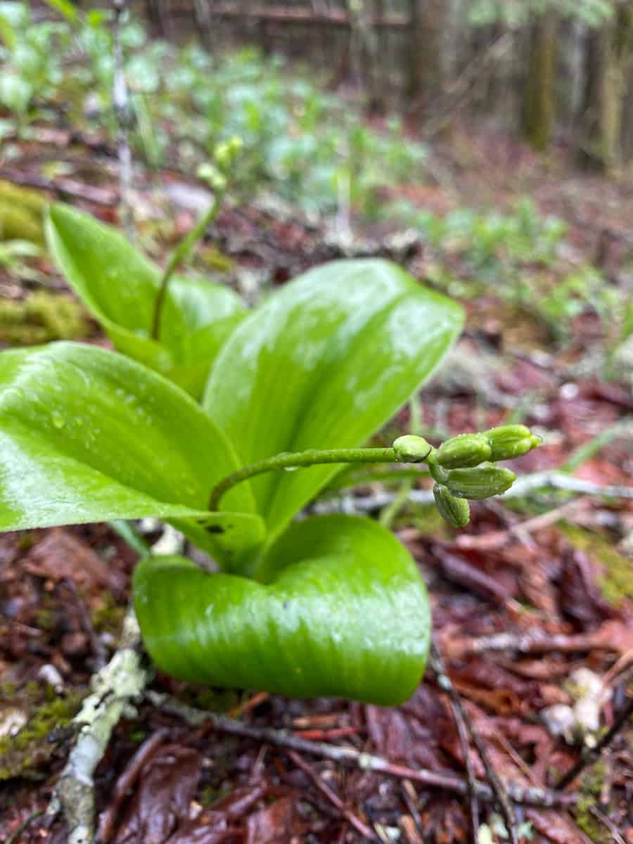
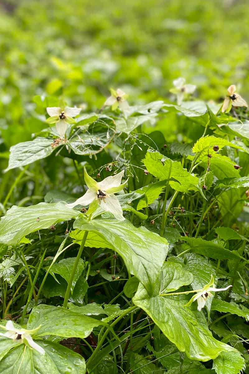
The next section of the trail was gorgeous, with wildflowers all around.
You’ll pass a sign marked “trail” and keep going: down, down, and down some more. (Before you keep going, evaluate whether you have enough energy to make it back up!)
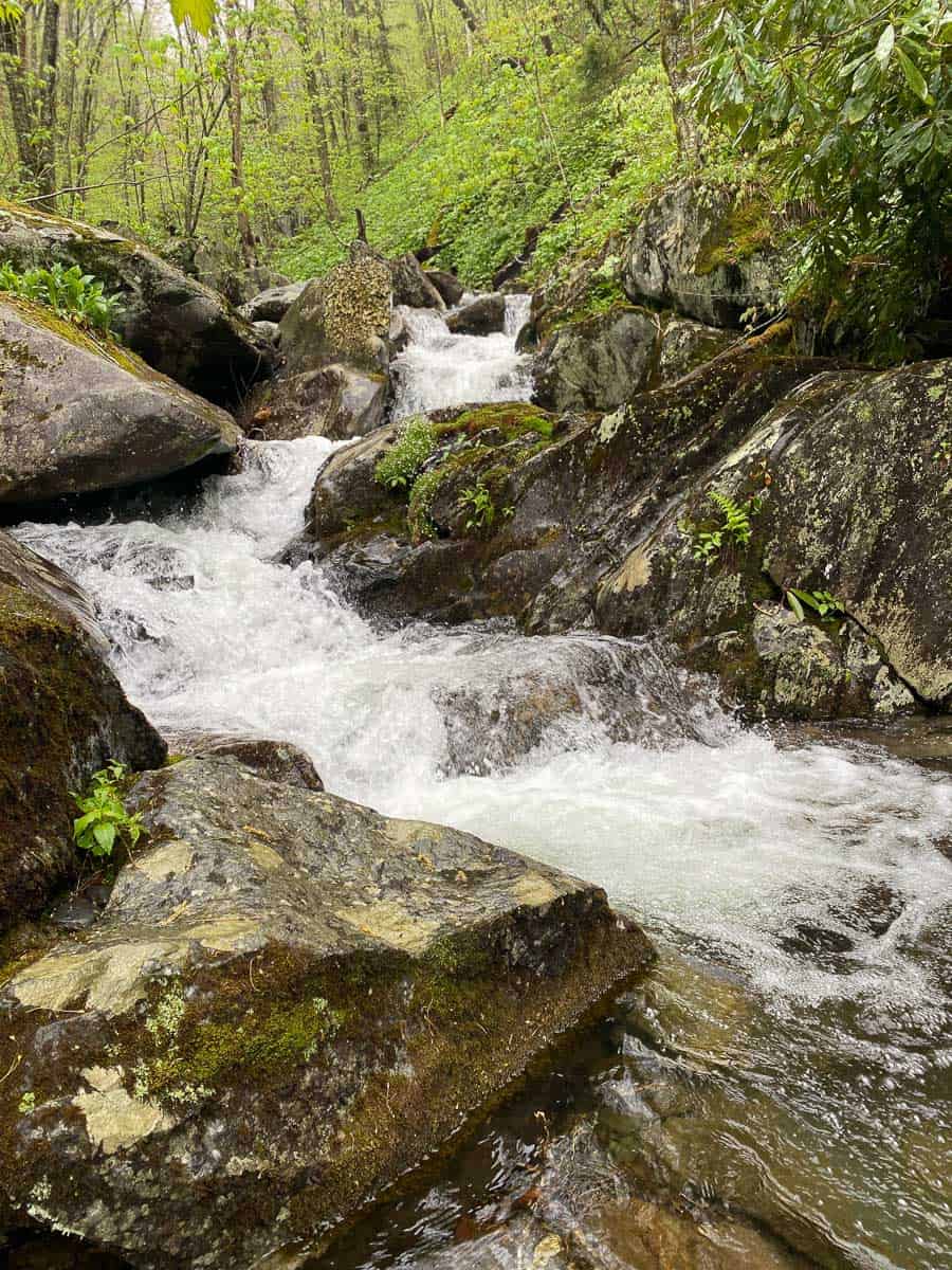
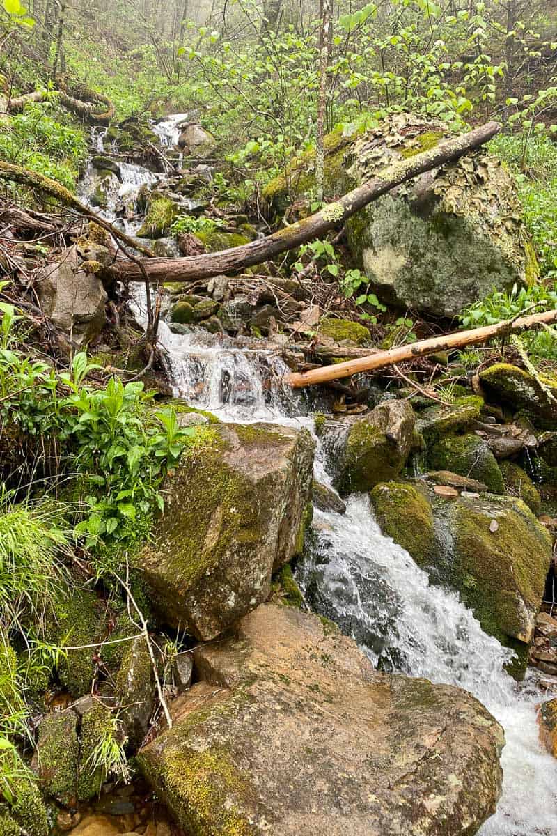
Eventually you'll reach the second falls.
This gorgeous fall is located at the first intersection of the trail and the creek.
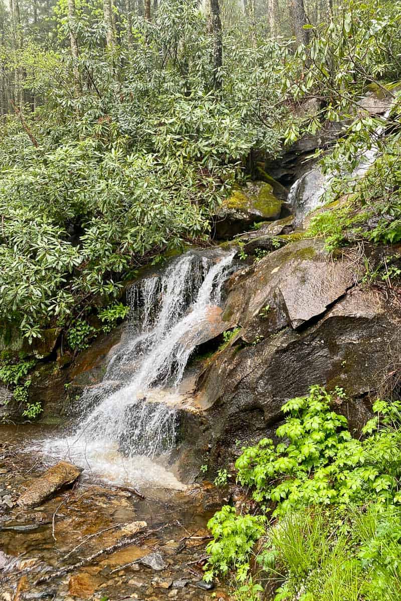
Keep going and you’ll quickly reach the third and largest waterfall, Sweat Heifer Cascades.
After seeing this largest waterfall, we turned around and re-traced our steps back to the parking lot.
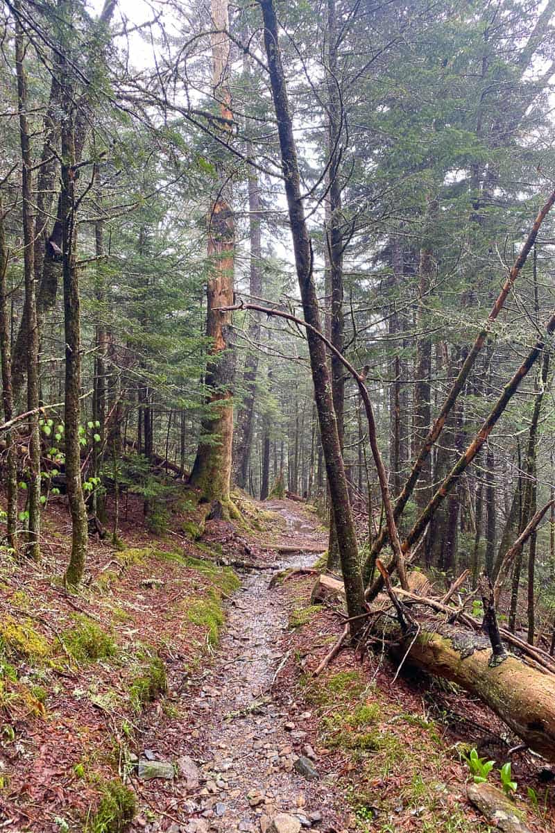
If you want to keep going, you might find more small waterfalls along the trail where it crosses the creek, but it just depends on how much rain there’s been.
Stop for a snack and enjoy the views while you gather your energy to go back uphill!
Want to treat yourself to an upscale meal after all that hiking? I recommend DaLaya Thai Cuisine in Sylva or Everett Hotel Bistro in Bryson City!
Have you discovered this beautiful waterfall trail yet? Let me know in the comments!

Leave a Comment: