The Queens Garden Navajo Loop takes you to some of the most recognizable views in Bryce Canyon! Here are some tips for navigating this popular trail.
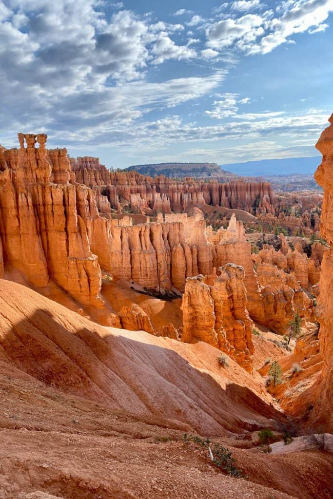
Utah has some amazing national parks, am I right?
Arches. Zion. Canyonlands. Bryce Canyon. Capitol Reef. Truly evocative names, with iconic scenery. That's what draws us to them, and at the same time can make it a challenge to navigate them. Because everyone wants a chance at the views!
That's the case with the Queens Garden Navajo Loop in Bryce Canyon. It's one of the most popular trails in the park, and it’s easy to see why.
The trailhead is about a mile from the visitor center, and even closer to the lodge and the north campground.
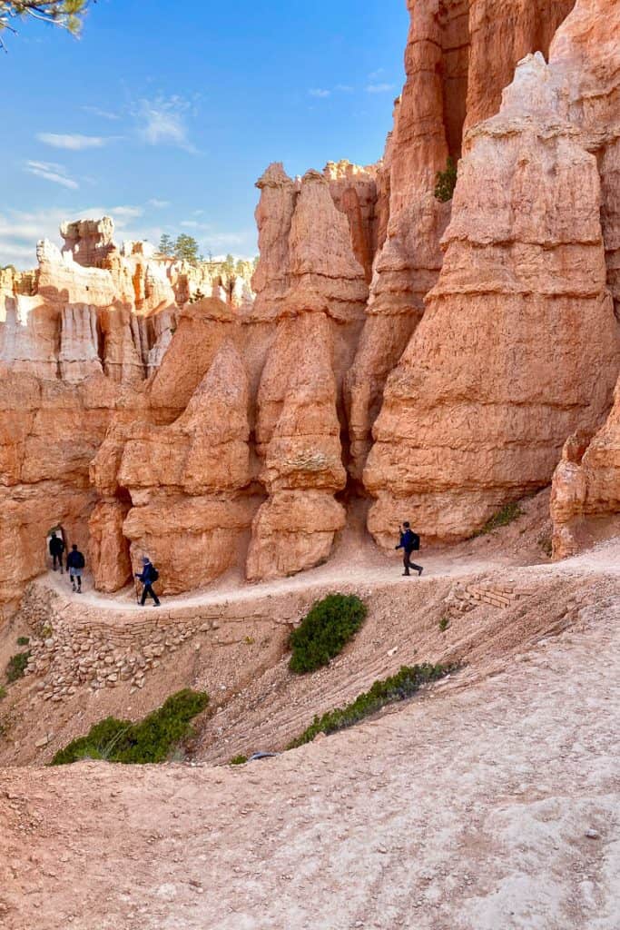
This relatively quick loop takes you down into the canyon for fantastic views of hoodoos, stone bridges and large rock formations. It's beautiful! Here are some details and tips if you're hoping to try it.
How Difficult Is This Trail?
The trail length is around three miles, with over 600 feet in elevation change. It's considered moderately difficult.
Part of the trail is a flat sidewalk that connects the two ends of the loop (Sunrise and Sunset Points). This section is the Rim Trail. If you want to make the trail shorter, you could take the park shuttle from one point to another and skip the half-mile sidewalk.
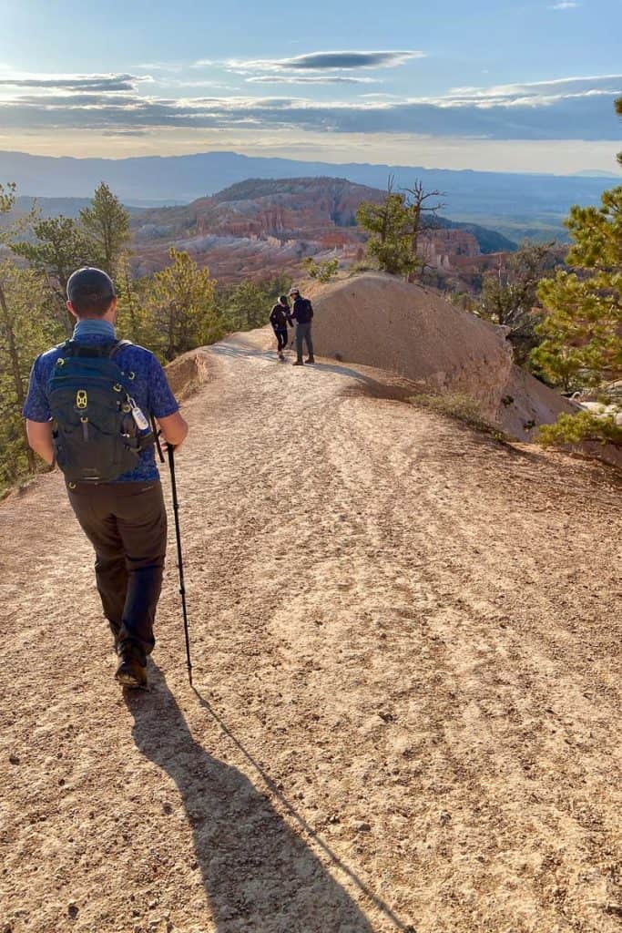
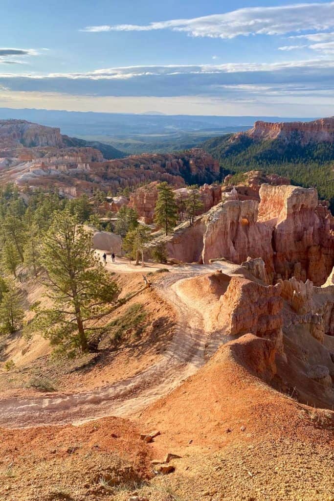
The dirt portion of the trail is relatively wide and flat (you won’t be dodging many rocks and tree roots on this path), but the elevation change on the way out might get your heart rate up! This is especially true if you’re coming from a lower elevation, because the trailhead (Sunrise Point) sits at 8,100 feet.
For an easy, short trail, try Mossy Cave.
How Crowded Is the Queens Garden Navajo Loop?
This is one of the (or possibly THE) most popular trails in the park. We’ve hiked it twice, once in late morning and once in early morning.
The early morning hike was a lot more enjoyable and less crowded.
There are parking lots at both ends of the loop. If it's a particularly crowded time, you might want to take the shuttle from Bryce Canyon City or the visitor center. It runs April through October.
What Gear Should I Bring?
First and foremost, bring water! This trail is primarily in full sun, and it can feel hot and bright even on a cooler day.
Also, bring sun protection. For sunglasses, I like these Sunski polarized sunglasses and my husband loves Shady Rays. I also like this Sahara shade hoodie to protect my arms, and this UV protective Buff for my neck.
If you’re here in early spring or winter, you might want micro spikes for traction in case the trail is still snowy or icy.
I brought along a trekking pole and was happy to have it, especially for the uphill climb.
Which Direction Should I Hike on the Loop?
The park service recommends starting at Sunrise Point and hiking to Sunset Point, but we met some hikers who swore it was easier the other direction.
Either way works well, but if you hike it ‘backwards’ you might be walking against most of the foot traffic.
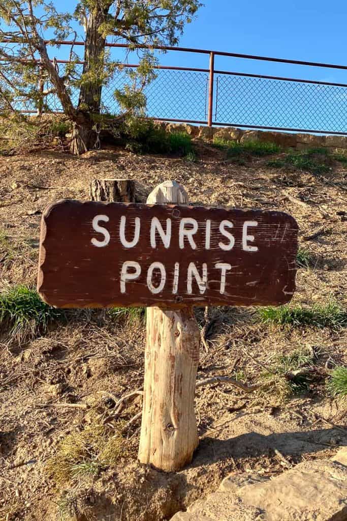
Hiking the Queens Garden + Navajo Trail Loop
We started by parking at Sunset Point, taking the easy path to Sunrise Point, and beginning the dirt part of the trail from there. That way we’d end the hike where our car was.
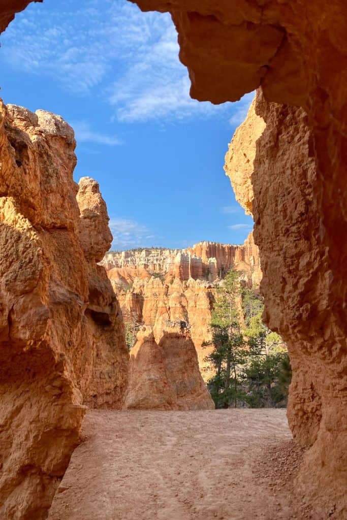
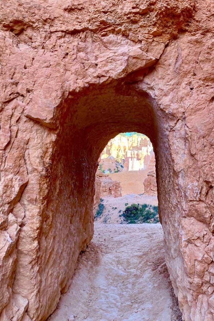
The trail slopes gently downward and takes you right past some impressive rock formations. You’ll also hike through multiple tunnels in the rock.
When you arrive at the sign for the Queen Victoria rock, take the trail spur to see it!
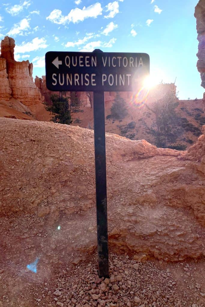
It’s named after a sculpture of Queen Victoria.
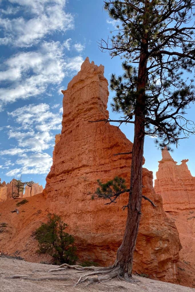
When you’re ready, head back to the main loop and follow the signs for Sunset Point and the Navajo Loop.
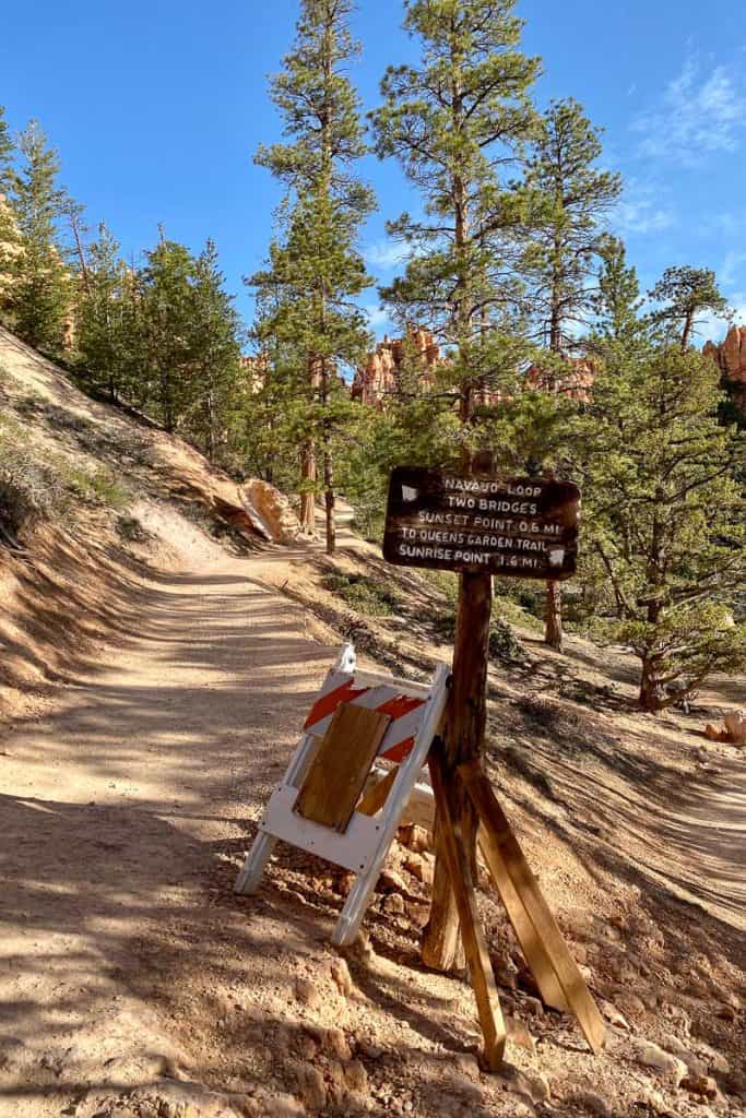
On the Navajo trail, you can either do the western side of the loop (Wall Street) or the eastern side of the loop (Two Bridges). Both times I’ve done this hike, the Wall Street side has been closed for repairs, so we’ve always hiked the Two Bridges side.
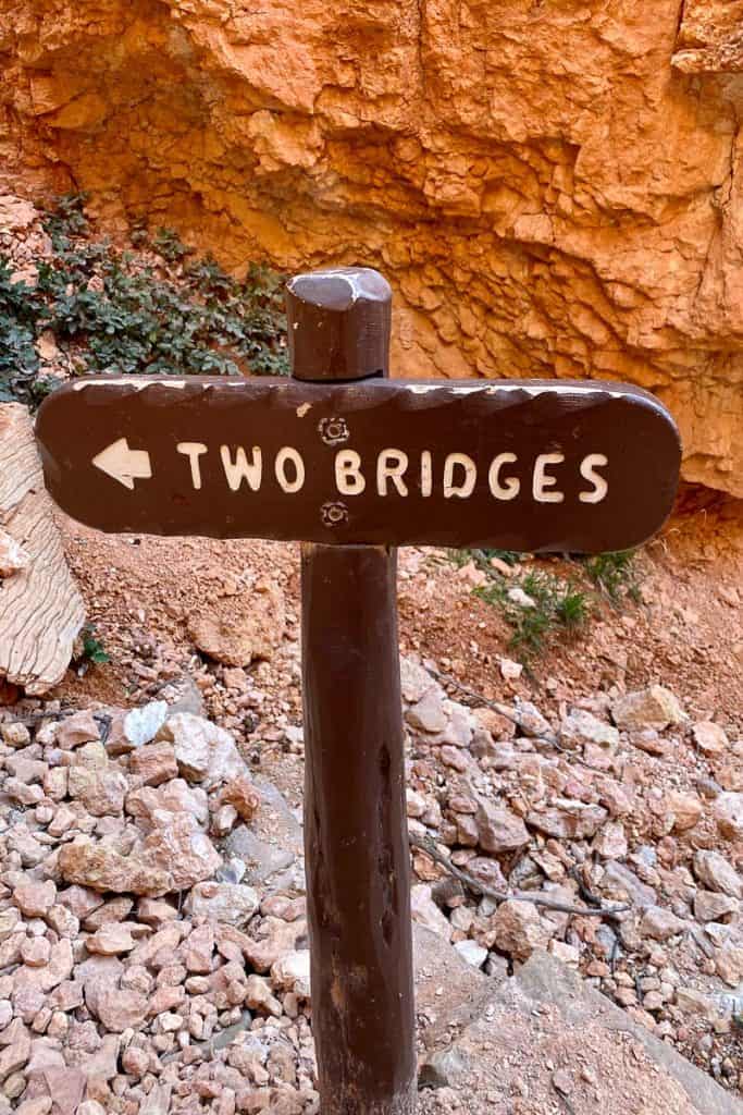
Check the National Park's website for this hike to plan for current trail conditions.
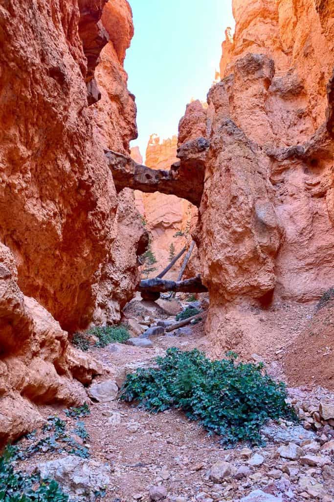
This portion of the hike is a series of steep switchbacks to get you back out of the canyon. It’s a tough uphill climb with phenomenal views!
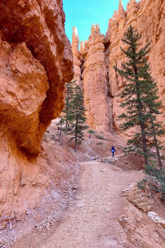
This hike ends at Sunset Point, another canyon overlook.
As a reminder, if you left your car at Sunrise Point, you’ll need to walk a half-mile on the paved Rim Trail to reach your car OR take the park shuttle.
If you're ready for a good meal at this point, we enjoyed Showdowns, along with a few other restaurant options near the park.
Have you taken this hike before? Or have you been able to check out the Wall Street portion of the loop? Share your thoughts in the comments below!

Leave a Comment: