There are a lot of trails inside the canyon, but only a few are well traveled. Read my guide for the best Grand Canyon trails to find out which trails are best for your trip!
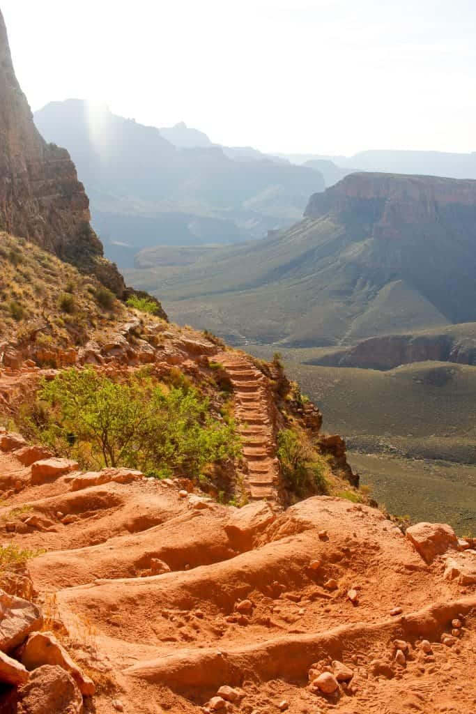
This is part of a Hiking the Grand Canyon series! Read more Grand Canyon hiking tips here: Hiking the Grand Canyon, Training to Hike the Grand Canyon, + Hiking Food Ideas.
Are you planning to go hiking at the Grand Canyon, and aren't sure which trail (or trails) you should take?
Grand Canyon trails range from easy to very difficult, and can be both rewarding and dangerous.
Whichever trail you choose, do a little research first.
And if you choose a difficult trail, be sure to plan ahead.
I recommend making the Grand Canyon part of a larger Southwest road trip! Visit the Grand Canyon, and then go hiking in Arches National Park (my other favorite national park).
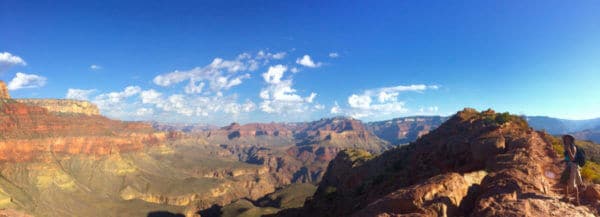
Which is Best, the South Rim or North Rim?
Most visitors go to the South Rim of the Grand Canyon.
The North Rim is less crowded, but it's closed longer for winter, and has fewer park services available.
It's also a 5-hour drive from the South Rim.
Both rims offer gorgeous hiking opportunities.
Make sure to check out my recommended gear for the Grand Canyon National Park!
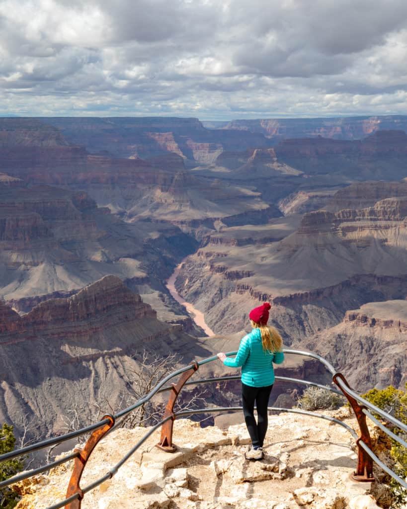
The Rim Trail
Trail information from Walk My World.
Want an easy trail? Start with the Rim Trail.
If you’re looking for a flat and relatively leisurely hike at the Grand Canyon, head for the Rim Trail on the South Rim of the canyon.
This track joins together the lookout points along the South Rim of the Grand Canyon.
It’s designed to be accessible for everyone, with a paved, relatively flat path all the way along (or the ability to navigate around any sections which are not paved using the road).
The views from this trail are breathtaking, and following the rim for miles allows you to gain some idea of the sheer scale of the canyon. If you only have time for a short section of the Rim Trail, make sure you visit Hopi and Powell Point for particularly spectacular views.
The light at these points is especially beautiful at sunset, and looking over the canyon when the sun goes down is a definitely a bucket list experience.
If you want to walk the entire trail it is 13 miles long, or you can choose to hike a shorter portion and then hop on the shuttle bus to head back.
For a really picturesque section of the trail, take the shuttle to Hermit’s Rest and walk back to the village (5.5 miles). This hike has sweeping views, and is a fantastic choice if you are hiking the Grand Canyon in winter.
Choose a Corridor Trail for Your First Hike Into the Canyon
The Kaibab Trail and the Bright Angel Trail are the two corridor trails into the Grand Canyon.
These trails are the most well-maintained trails into the canyon, and are the safest way to venture into the canyon by foot.
But you still have to work hard to see the sights.
The Kaibab runs from the north side of the canyon down to the Colorado river, and then goes all the way from the the river back up to the South Rim.
The section of the Kaibab on the north side of the river is the North Kaibab, and on the south side it’s the South Kaibab Trail.
The Bright Angel Trail goes from the South Rim to the Colorado River.
Day Hikes into the Grand Canyon
For a day hike into the Grand Canyon, pick one of the designated day hike spots on either the Bright Angel or South Kaibab trails.
The day hiking spots are clearly marked on trail maps and at the trail heads.
Do not go past the designated day hike end points, and keep track of the time as you hike. Plan on it taking twice as long to come up as it did to go down.
If you’re hiking when it’s warm, try to avoid being on the trail between 10am and 3pm.
Rim to River Hikes
Want to hike all the way down to the Colorado River?
Just keep in mind that you’ll have to hike back out!
From the South Rim, you can either take the South Kaibab Trail or the Bright Angel Trail.
The most popular Rim to River route is down the South Kaibab Trail, and back up the Bright Angel Trail. This is the route we took, and it worked well.
Keep in mind that the National Park Service does not recommend hiking all the way to the river and back in one day, and that you’ll need to apply for a permit to camp inside the Grand Canyon.
Rim to Rim Hikes (+ Rim to Rim to Rim)
The other popular hike through the Grand Canyon is a rim to rim.
This involves hiking from the top of the South Rim (either on the Bright Angel or South Kaibab), all the way to the Colorado River, and then up the North Kaibab Trail to the North Rim of the canyon.
Or vice versa.
A rim to rim to rim hike is where you then turn around and hike all the way back to the South Rim.
Rim to rim to rim is a pretty intense hike.
Plan on getting a backcountry permit before beginning your hike, because a rim to rim hike is definitely a multi-day trek.
After you’ve finished hiking the trails (and your legs are sore), drive around the park for more views! Check out this guide to visiting the Grand Canyon viewpoints by car.
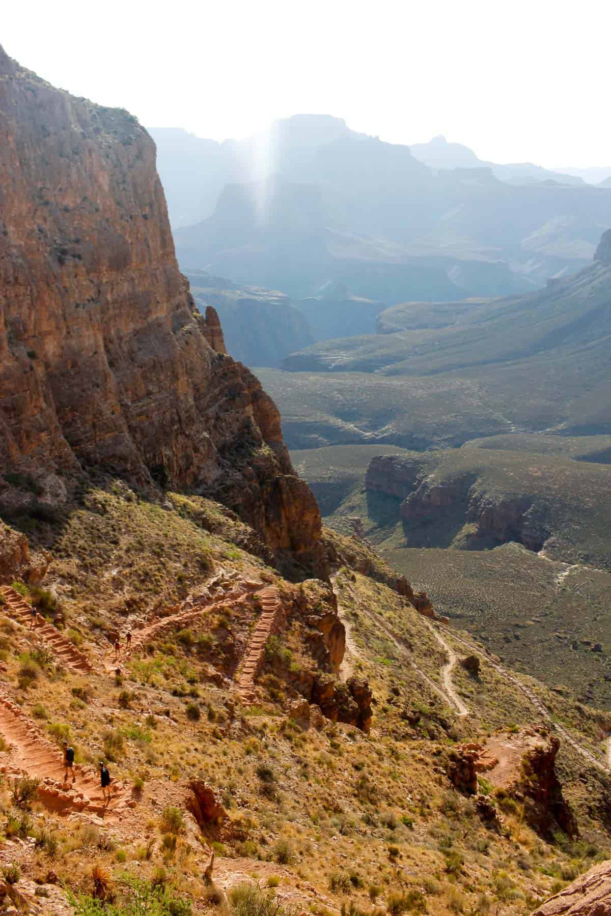
Grand Canyon Trails: South Kaibab
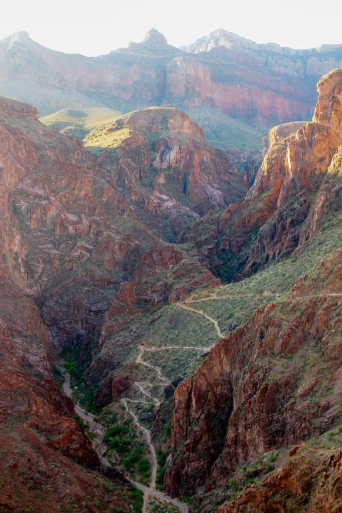
The South Kaibab Trail offers sweeping, breathtaking views of the canyon.
At 6.8 miles long, it’s considerably shorter than the 9.1-mile Bright Angel Trail. It’s also steeper, and has no shade and no water.
Grand Canyon Trails: Bright Angel
The Bright Angel Trail is longer than the South Kaibab, but it's got shade and water.
This trail winds through green valleys within the canyon, and even though you'll see fewer sweeping canyon views, this is still a gorgeous hike.
Trail information from Meg at Fox in the Forest.
Want to hike at the North Rim?
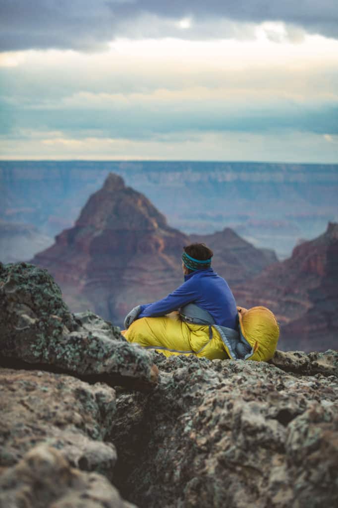
Cape Final is the most exclusive camping spot on the north side of the canyon.
The Grand Canyon’s North Rim stands over 1,000 feet higher in elevation than the South Rim, so you’ll get unbeatable views with a fraction of the crowds.
One of the best hikes along the North Rim of the Grand Canyon of the Grand Canyon is Cape Final.
This 4-mile round trip trail sees very little traffic and presents you with uninterrupted views of the most magnificent canyon on earth.
This easy hiking trail makes its way up a gentle grade through a beautiful pine forest before it meets the rim of the mighty canyon.
You’ll be treated to short little glimpses of the glorious Cape Final as you make your way towards the end.
Unlike many of the easier hiking trails along the Grand Canyon, Cape Final doesn’t have any guard rails, so take care as you walk out to the very edge.
Expansive views and beautiful scenery can be found all around you, but what makes this trail extra special is that there is only a single campsite available at the very end along the rim.
This exclusive camp spot is the only one of its kind in the entire park. You’ll have the entire area to yourself overnight.
An advanced permit application is required. You’ll need to send in your paperwork six months in advance if you wish to get this coveted spot.
However, it’s well worth the advance planning to wake up in solitude right on the rim of the Grand Canyon!
Trail information from Meg the Traveling Teacher.
Interested in hiking outside the National Park?
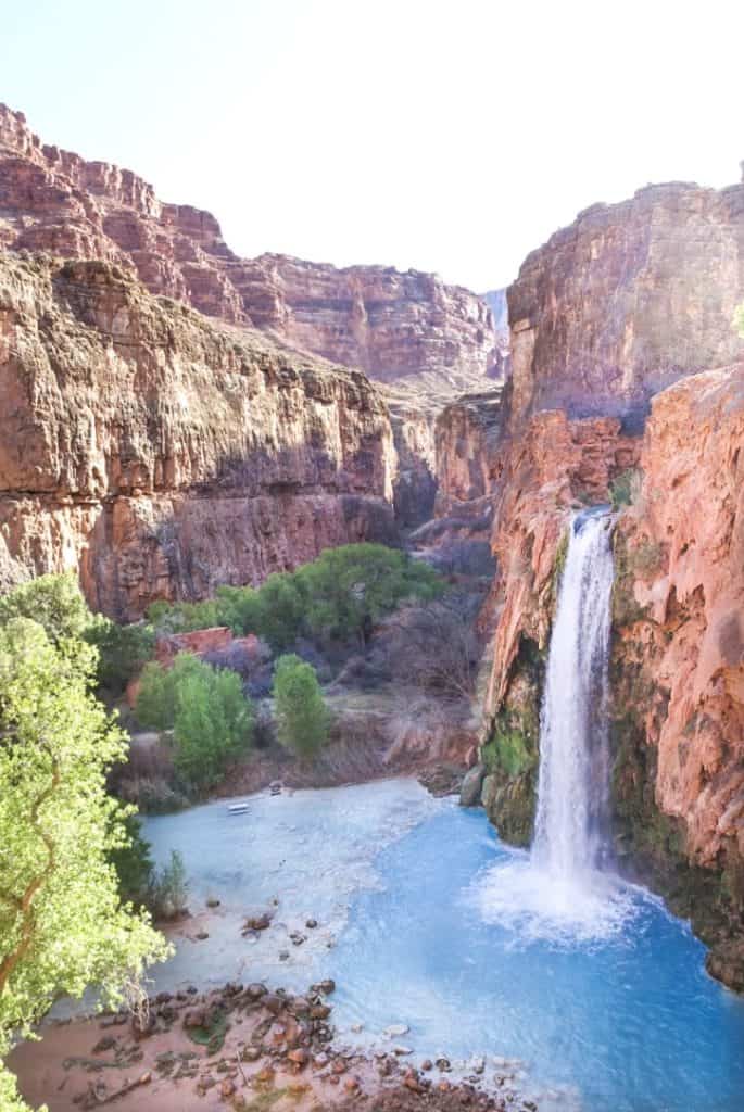
Havasu Falls is one of the most famous hikes near the Grand Canyon, and for good reason.
This is a difficult and incredibly rewarding hike.
It’s a once in a lifetime experience that you will not regret, but you’ll also need to plan ahead.
Havasu Falls is located inside the Havasupai Reservation, and you must obtain a permit in advance to hike. Permits are given out for a four-day, three-night visit only and can only be made in February.
Once you’re confirmed, you can begin to plan this amazing hike!
The hike to Havasu Falls is long and tough– you’ll walk eight miles to to the Supai village, and then another two miles to the Havasupai campground, all without much shade or cloud cover.
You’ll either need to pack everything with you for your three-night stay or pay for a mule to carry your packs in, so it's best to pack light. Need help? Here are some tips on what to pack for Havasu Falls.
Be prepared for the hike to take anywhere from 3 to 6 hours each way.
At the end of the long hike, Havasu Falls will feel like it came out of nowhere. When you finally reach the Supai campgrounds, you’ll turn a corner and then be greeted with an incredible view!
During your stay, there are other amazing waterfalls to hike to as well.
Mooney Falls is a challenge to get to (and the trail might be precarious if you’re afraid of heights), but is gorgeous and very close to Havasu Falls. Hike to Mooney Falls early in the day, and then continue to Beaver Falls.
The next day, make sure to hike to Little Navajo Falls and Fifty Footer Falls.
The incredible blue water, amazing waterfall swims, and perfect views make the difficult trail to Havasu Falls worth every minute!
Want to go? Check out these 21 tips for hiking Havasu Falls!


Leave a Comment: