

Here's a look at some of the best West Virginia hiking trails under 10 miles. Each one features incredible scenic overlooks!

With West Virginia being called The Mountain State, you'd expect plenty of good hiking — and you'd be right! Fantastic overlooks abound.
This is not an exhaustive list of good hikes in the state. If you're new to the area, consider this a guide to get you started with some of West Virginia's most memorable views, and then branch off and keep exploring!
A good place to begin is New River Gorge.
West Virginia Hiking: New River Gorge Trails
West Virginia's only national park, New River Gorge, has lots of trails with beautiful views of the river and valley. Here are a few of our favorites.
Endless Wall
- 2.4 miles (one-way)
- Easy to moderate
- Elevation gain: Less than 500 feet
This hike has great views of the park's massive cliff faces, and part of the trail is also completely encased in rhododendrons. It's beautiful when they're in bloom!
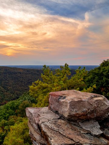
You can either do this as an out-and-back hike by turning around at Diamond Point overlook (pictured at the top of this post), or you can continue on as far as the roadway, where an extra half-mile walk will bring you back to your starting point and turn this route into a loop.
Read our full trail guide here.
Grandview Rim + Turkey Spur
- 3.2 miles (out and back)
- Easy to moderate
- Elevation gain: Less than 500 feet
This area of the park is fairly popular and has its own visitor center. It starts off almost immediately with a dramatic view of the New River's horseshoe curve.
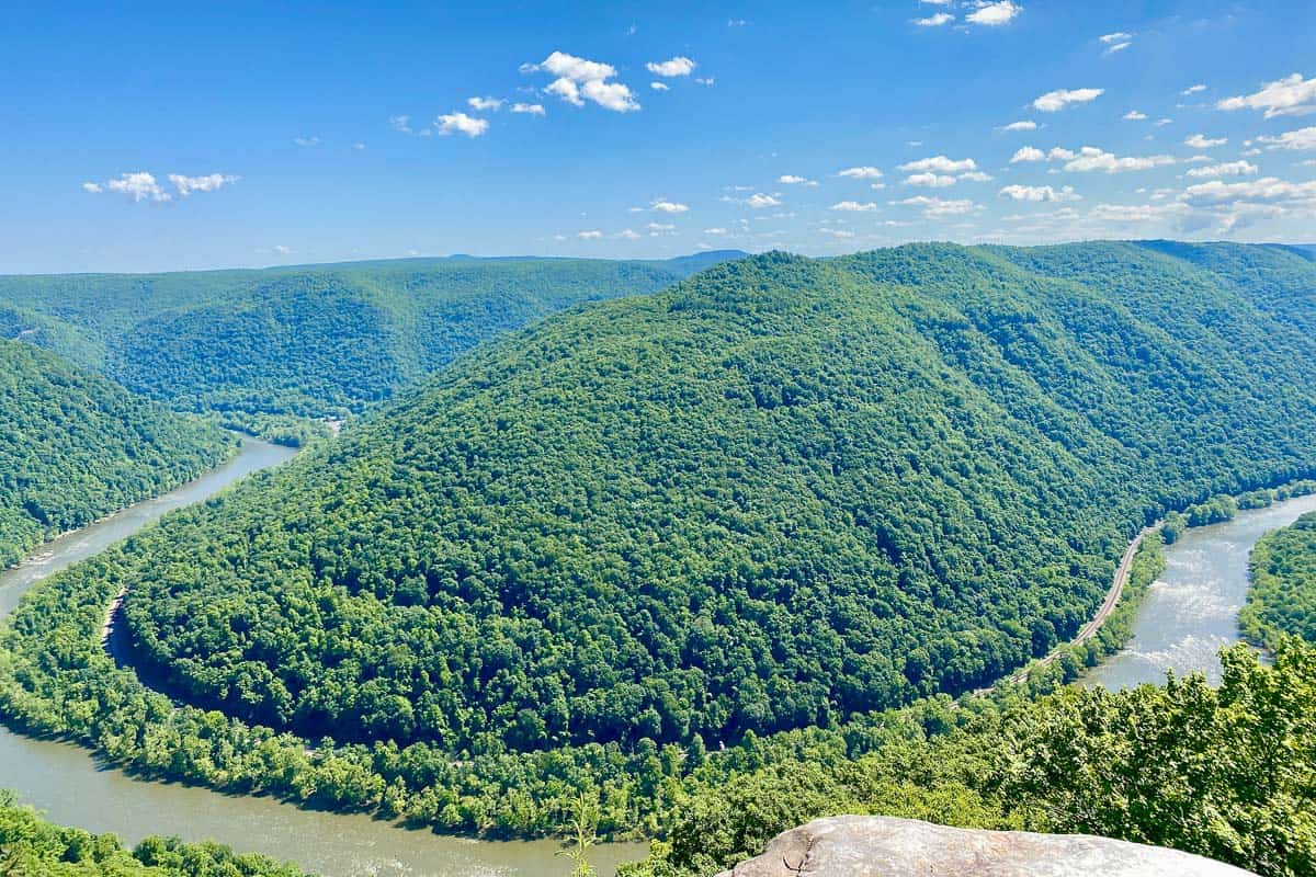
You can make this hike slightly more challenging by taking the Castle Rock route, which runs parallel to the main Grandview trail for a while.
If you stay on Grandview Rim Trail (or rejoin it after hiking Castle Rock), you'll eventually make it to Turkey Spur overlook, which requires you to climb quite a lot of stairs but has additional fantastic views.
Read our full trail guide here.
Long Point
- 3 miles (out and back)
- Easy to moderate
- Elevation gain: Less than 400 feet

Long Point Trail gives you a view of both the gorge and its famous bridge. It's a flat and easy trail for the most part. Read our full trail guide here.
More West Virginia Hiking: State Parks + National Forests
Seneca Rocks
- 2.6 miles (out and back)
- Moderate
- Elevation gain: 700 feet
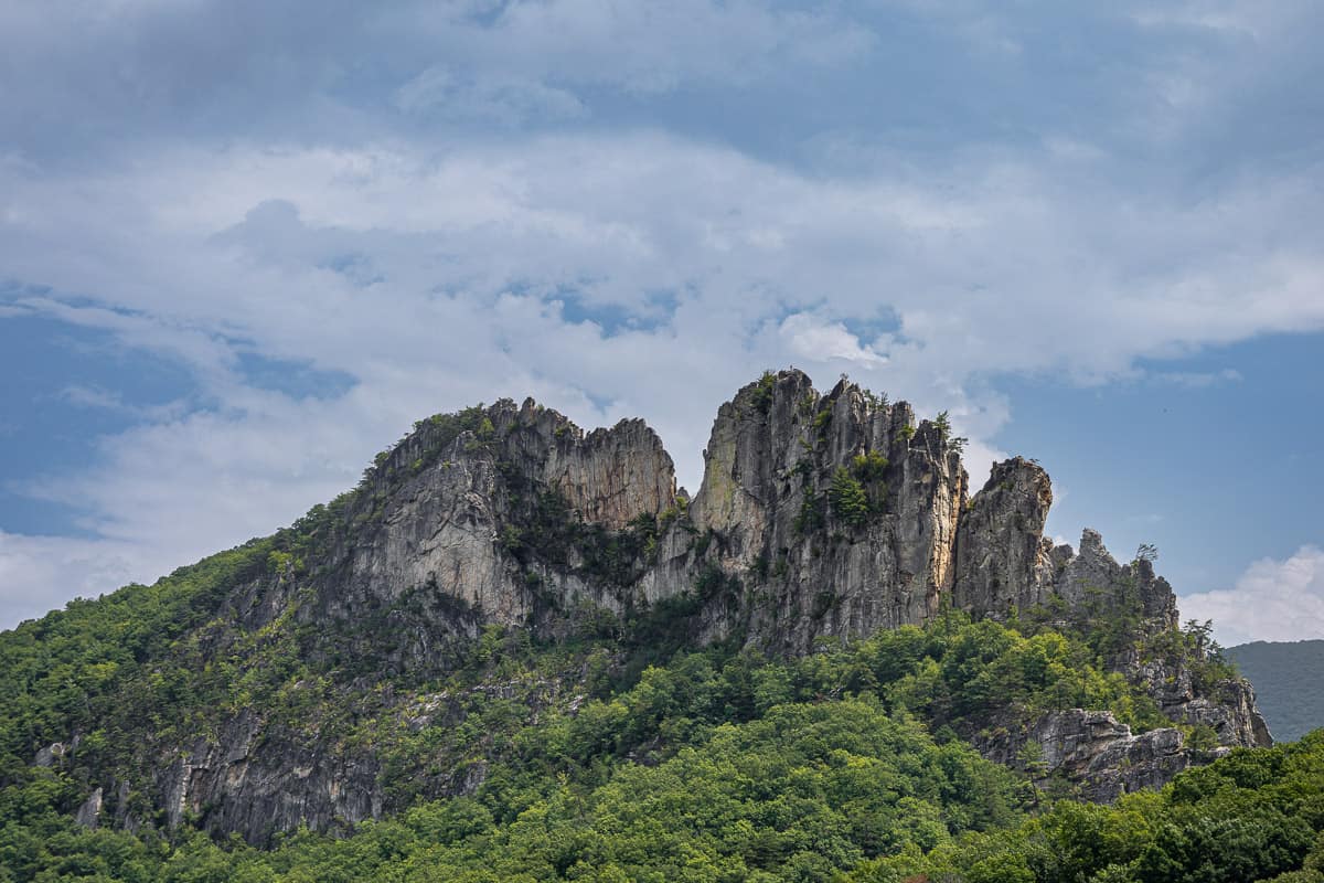
Seneca Rocks is a stunning craggy formation in the Monongahela National Forest.
From the visitor center, you can hike up to an observation platform near the top of the rocks. It's somewhat of a steep trail with steps and switchbacks, but the view from the top is excellent!
Chimney Top (via North Fork Mountain Trail)
- 5.2 miles (out and back)
- Strenuous
- Elevation gain: Nearly 2,000 feet
Also found in Monongahela National Forest, Chimney Top is a show-stopping destination that's within a few miles of North Fork Mountain Trail's northern terminus.
The NFMT stretches nearly 25 miles and is a worthy backpacking trip, but if you want to stick to a day-trip, Chimney Top is the place to go.
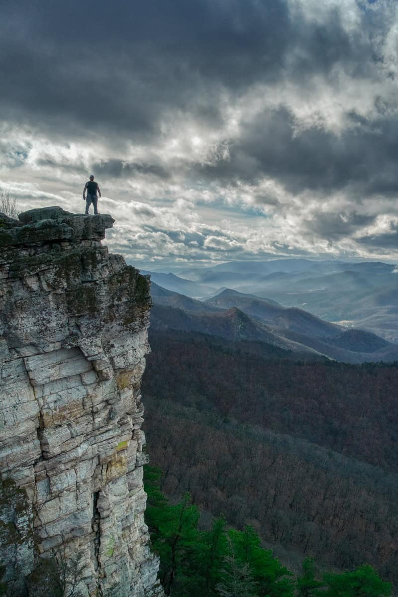
This hike starts at the North Fork Mountain Trailhead on Smoke Hole Road. It's quite a steep climb in some sections. A small rock cairn marks the place to turn off to the Chimney Top rocks.
Some people love to plan this one as a sunrise or sunset destination.
Maryland Heights
- 4.5 miles (out and back)
- Moderate
- Elevation gain: About 1,200 feet
Harpers Ferry is a town on the very edge of West Virginia, next to the Maryland border. It's bordered by two enormous rivers: the Potomac and the Shenandoah. If you take the Maryland Heights trail, you can get a panoramic birds-eye view of the whole scene.
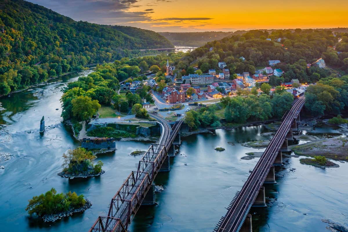
From the Lower Town up to the overlook and back is potentially a 4-hour hike.
It can be made into a full day hike of closer to 10 miles by starting from the Harpers Ferry Visitor Center and also adding in the Stone Fort Loop. Bear in mind that the trail is only open during daylight hours, though.
Ravens Rock
- 3 miles (out and back)
- Moderate
- Elevation gain: Less than 500 feet
Found in Coopers Rock State Forest not far from Morgantown in the northern part of the state, Ravens Rock is an alternative to the popular main overlook.
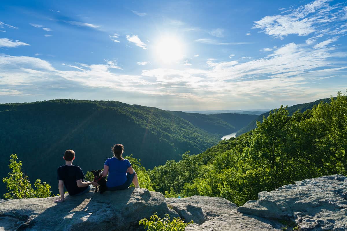
The base of the river canyon is over a thousand feet below, which is actually comparable to depth of New River Gorge.
It's mostly downhill from the trailhead to get out to Ravens Rock, so allow extra time for the elevation gain coming back up.
Cranny Crow (via Millers Rock Trail)
- 7 miles (out and back)
- Moderate
- Elevation gain: Less than 1000 feet
At Lost River State Park, not far from the Virginia border, you'll be quite secluded in nearly 4,000 acres of forest. There are over 20 miles of trails, but the Cranny Crow overlook is definitely king.
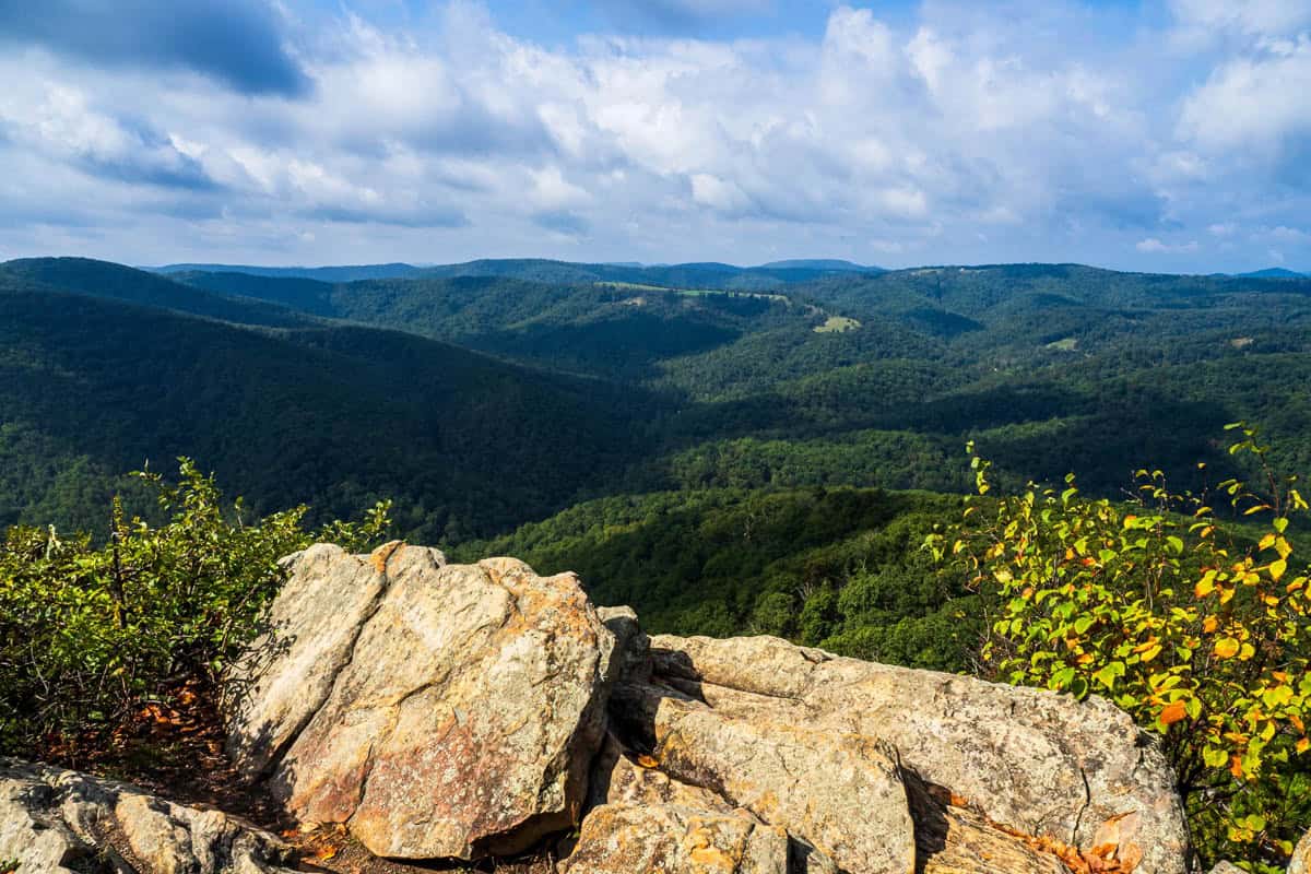
Take the White Oak/Millers Rock trail out to this rocky viewpoint on top of Big Ridge Mountain. You can see five counties from here, and the hills just seem to stretch on and on. It's easily one of West Virginia's more remote parks, but an ideal place for getting away.
Big Schloss (via Mill Mountain Trail)
- 4.4 miles (out and back)
- Moderate to difficult
- Elevation gain: Over 1,000 feet
Wolf Gap Recreation Area is almost exactly on top of the state border between West Virginia and Virginia, not far from the above-mentioned Lost River State Park. One of its most notable features is Big Schloss. The name comes from the German word for castle and refers to all the white sandstone on the mountaintop.
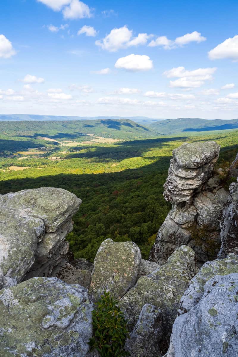
Mill Mountain Trail is your starting point for this one, and it's quite steep at the beginning as you climb the ridge. It will bring you to the Big Schloss trail spur, culminating in a wooden footbridge to the lookout.
Gear Suggestions for West Virginia Hiking
There's a good chance you may not have cell signal on a lot of these hikes. For any trails that involve junctions or spurs, you should definitely download a trail map before you get going.
When we're in a remote area, we bring along our Garmin inReach mini, a GPS device that relies on satellites. We can use it to navigate and also send out short messages.
Any time we're in mountainous terrain, we bring trekking poles and sturdy footwear. For suggestions on comfortable and practical clothing, see my posts on hiking gear for men and for women, as well as the benefits of sun hoodies.
We hope you have a great time exploring the wilds of West Virginia. Let us know what other trails you discover that should make it onto this list!

Leave a Comment: