
The Fire Wave trail in Valley of Fire State Park is a short hike to a gorgeous, multicolored sandstone rock wave.
Last spring, we flew to Las Vegas and headed towards Utah to see some national parks.
On the way, we stopped at Valley of Fire State Park in Nevada. It was incredible!
Admittedly, I'd spent a ton of time planning out our hikes in Zion, like this West Rim backpacking trip and this hike on the Watchman Trail, and basically no time planning our stop at Valley of Fire.
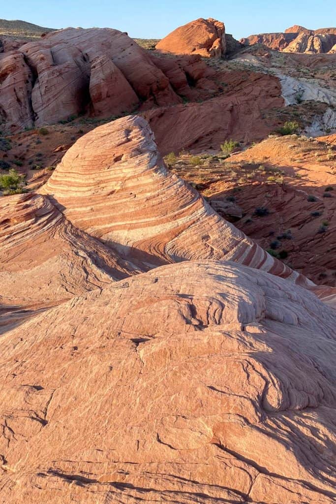
I was pretty excited to learn (the night before we hiked) that Valley of Fire was home to the Fire Wave, a striped, wavy rock formation similar to Arizona's famous Wave.
The Fire Wave is smaller than Arizona's Wave, but it's also a much shorter, easier trail. Oh, and this trail doesn't need a permit!
When Is the Best Time to Hike This Trail?
Ideally, hike this trail when it's cool out.
The trail is closed seasonally from June 1 to October 1 because of extreme heat. This trail is best from late fall to early spring.
When's the Best Time to Get Photos of the Fire Wave?
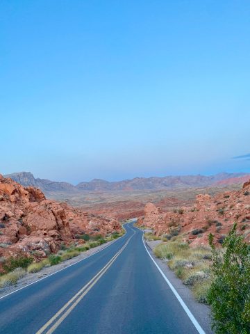
The rocks will have the most vibrant colors during the "Golden Hour", when the sun is lower in the sky. That means about an hour after sunrise or an hour before sunset, give or take.
On a cloudy day, you might have more wiggle room with that timeframe. Although, this is the desert, and it's not cloudy very often.
In the middle of the day, the sun will wash the colors out more, and there will likely be more people around.
How Difficult Is This Trail?
This is an easy, 1.5-mile trail with a 236-foot elevation change.
How easy is easy?
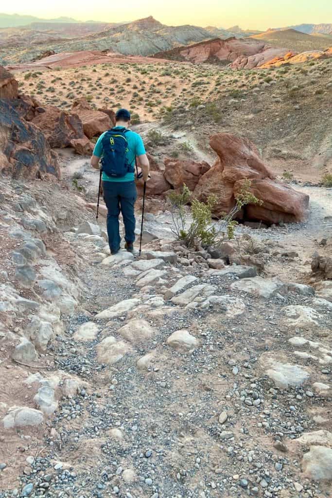
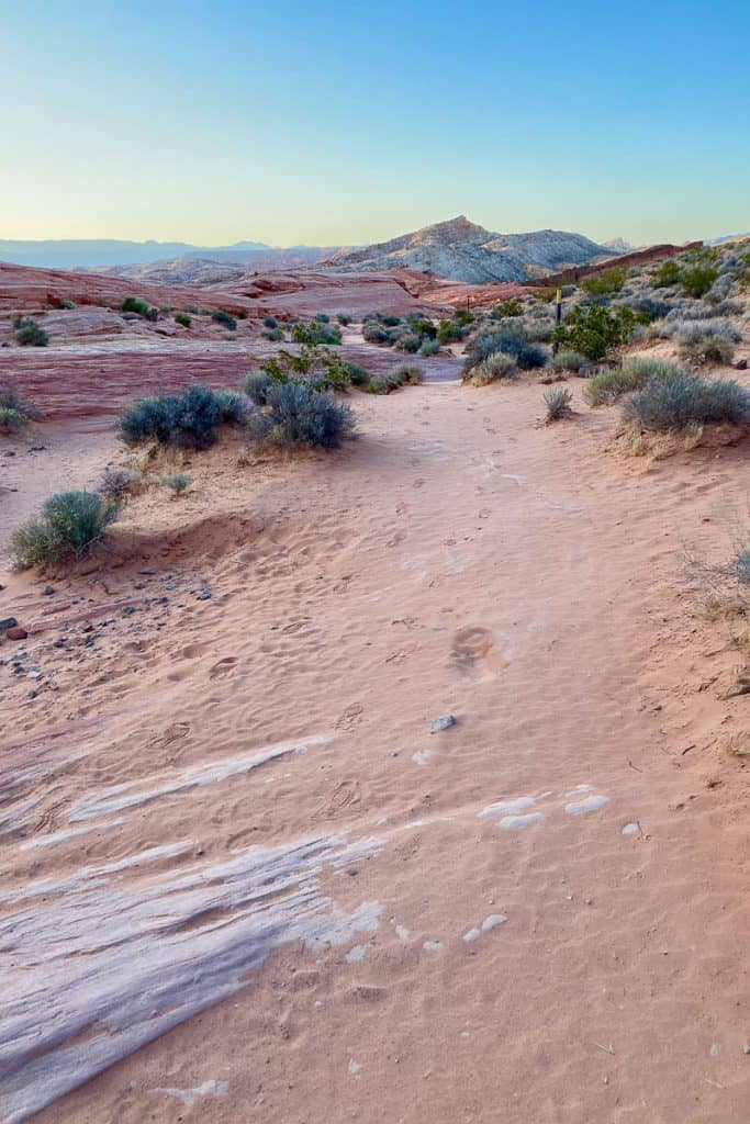
This trail is not difficult, but also definitely not handicap accessible. The trail starts out on a rocky and sandy path, and has some elevation change.

What Gear Should I Bring?
Water! I carried my water in my Osprey day pack.
Shoes with good grip are helpful, because you'll be walking over uneven sandstone.
We also found this Valley of Fire State Park Adventure Guide map helpful.
Hiking the Fire Wave Trail
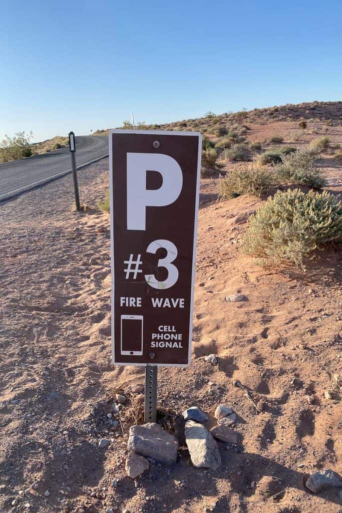
Start at parking area P3, and follow the signs for the Fire Wave.
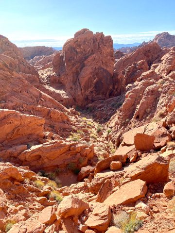
Start hiking along the rocky path.
Don't forget to pause occasionally and enjoy the views!
Before long you’ll be walking on sand.
As you hike, watch for metal trail markers.
If you don't see a trail marker, look closely.
When we went, at least one marker had fallen over and needed to be set upright again.
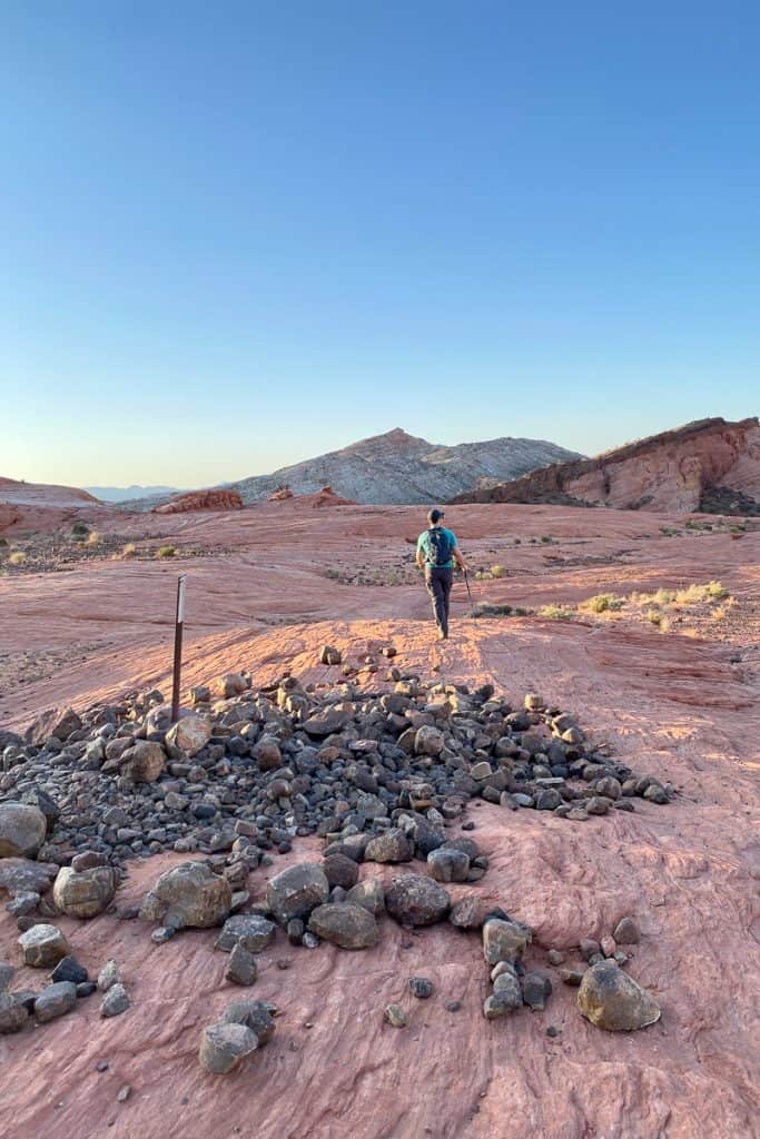
This is especially important when you get to the sandstone portion of the hike, because at that point, no trail is visible.
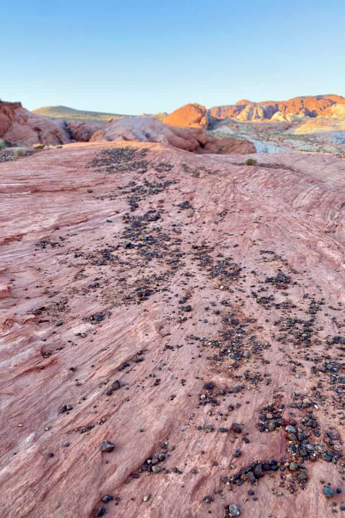
At one point, the trail seemed to have ended abruptly, and we hadn't seen the Fire Wave yet.
However, after just a little searching for a trail marker, we found our way again.

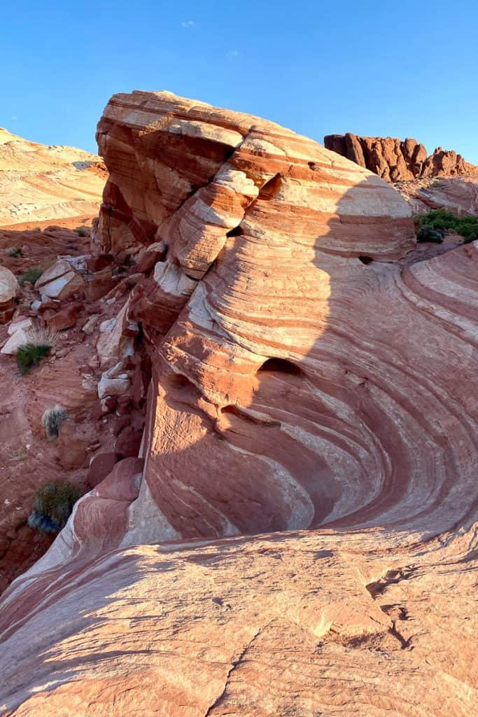
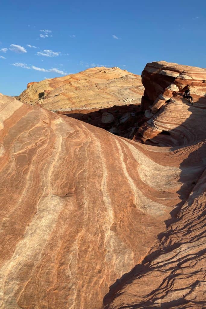
It should be pretty obvious when you reach the Fire Wave.
It's pretty impressive.
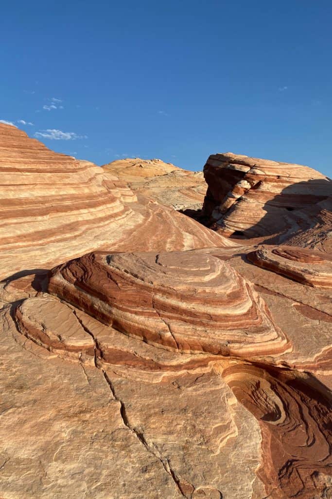
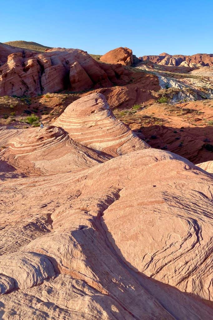
When you arrive at the Fire Wave, take some time to enjoy this fabulous multi-colored rock!
The Fire Wave + Seven Wonders Loop
If you’ve got the time, you could continue from here on the Seven Wonders Trail to see even more rock features.
Look for a Seven Wonders trail marker just past the wave formation.
The Seven Wonders Trail is 2.3 miles long in total, including the portion of the Fire Wave Trail that you’ve already done.
However, it’s not listed on the paper trail map we had, or on Google maps. If you’re hiking it, make sure to either have the area downloaded on your Garmin inReach Mini 2 or on your AllTrails map.

We didn’t have the map downloaded and weren’t sure how long the trail would be (and didn’t have lots of wiggle room in our schedule because of the forecasted heat that day), so we headed back the way we came and drove to our next trailhead.
If you opt not to hike the extra portion of the trail, simply head back the way you came!
After this trail, we also explored White Domes and Rainbow Vista for more beautiful landscapes.

Leave a Comment: