• About
  • Travel
    • Food Travel
    • Outdoor Adventure
  • Recipe Index
    • Garden To Table
    • Seafood
    • Camping Recipes
    • Ferment
    • Backyard Foraging + Wild Game
    • Cooking Basics
  • Subscribe
menu icon
go to homepage
subscribe
search icon
Homepage link
  • Recipe Index
  • Garden To Table
  • Seafood
  • Ferment
  • Foraging + Wild Game
  • Cooking Basics
  • Camping Recipes
  • Outdoor Adventure
  • Food Travel
  • Lifestyle
  • About
    • Facebook
    • Instagram
    • Pinterest
    • Twitter
  • ×
    Home » Travel » Outdoor Adventure » Europe

    Tour du Mont Blanc Stages 3 + 4: Ville des Glaciers to Courmayeur

    Published: Nov 14, 2025 · Leave a Comment

    This post contains affiliate links. As an Amazon Associate I earn from qualifying purchases.

    This guide to the Tour du Mont Blanc Stages 3 and 4 will help you plan the route from Ville des Glacier to Courmayeur.

    View of alpine mountains and grassy hillsides on Stages 3 and 4 of the Tour du Mont Blanc.

    After a challenging Stage 2, our third day on the Tour du Mont Blanc presented us with a new set of big goals. Scary goals.

    Somehow we needed to cover 16 miles (although at the time we thought it would be 14 miles), plus lots of elevation gain and descent.

    I’d never hiked that far in one day before. Here’s how it went!

    Tour du Mont Blanc Stages 3 and 4: Activity Profile

    • 16 miles
    • 4,367-foot ascent
    • 6,181-foot descent

    The Goals for Tour du Mont Blanc Stages 3 and 4

    We’d be combining Stages 3 and 4 in a single day.

    Stage 3: We planned on hiking from Ville des Glaciers up to Col de la Seigne, where we’d cross from France into Italy. Next, we’d go down the col into Val Veni, past Cabane du Combal (where Refuge Elisabetta is).

    Stage 4: From there, we’d begin hiking up to Col Chécrouit. Then we’d descend to Maison Vieille, and then begin the extra steep descent into Courmayeur.

    Dirt trail winding along mountainside.

    Ville des Glaciers to Col de la Seigne

    The previous day, after hiking Col des Fours, we’d taken a bus from Ville des Glaciers to the Les Chapieux campground. This morning, we took an early bus back to pick up the trail where we left off.

    The shuttle bus operates only during the summer, and it can be a good way to shorten the route a little bit.

    Woman carrying backpack and trekking poles on gravel trail with mountains in distance.

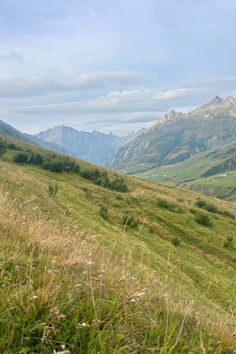
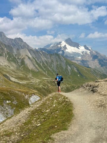
    After about a mile we passed Refuge des Mottets (but didn’t stop), and the TMB continued on a steady incline. The views were amazing from the very start.

    Trail marker made up of numerous rocks, with mountain views.

    The trail continued on a steep incline, going up and up. This incline didn't feel as difficult as yesterday's Stage 2 hike though. I'm not sure if it was actually easier or if I was getting my trail legs.

    Dirt and gravel trail with sloping mountains in background.

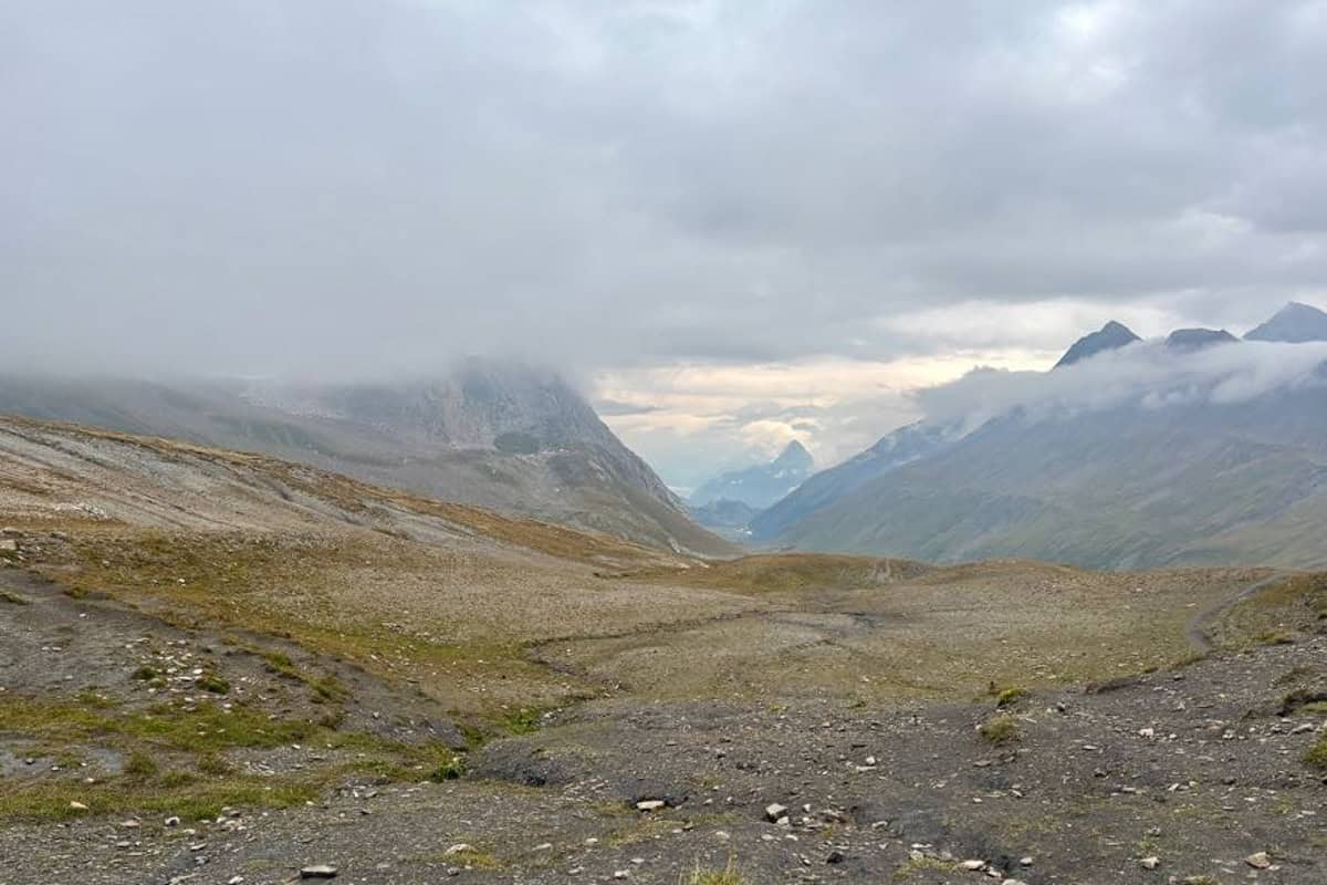
    As we got closer to the Col de Seigne, we began walking into a cloud.

    Mountaintops partially obscured by clouds on Stages 3 and 4 of the Tour du Mont Blanc.

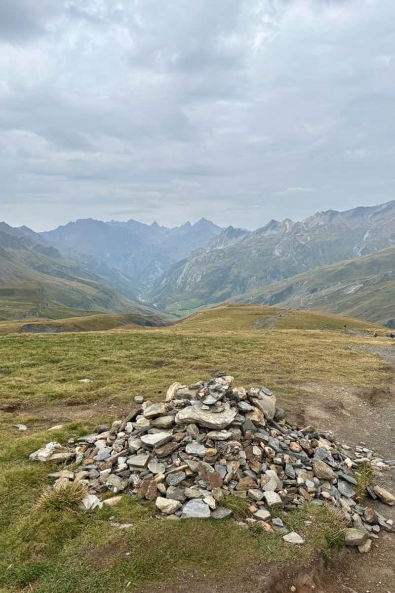
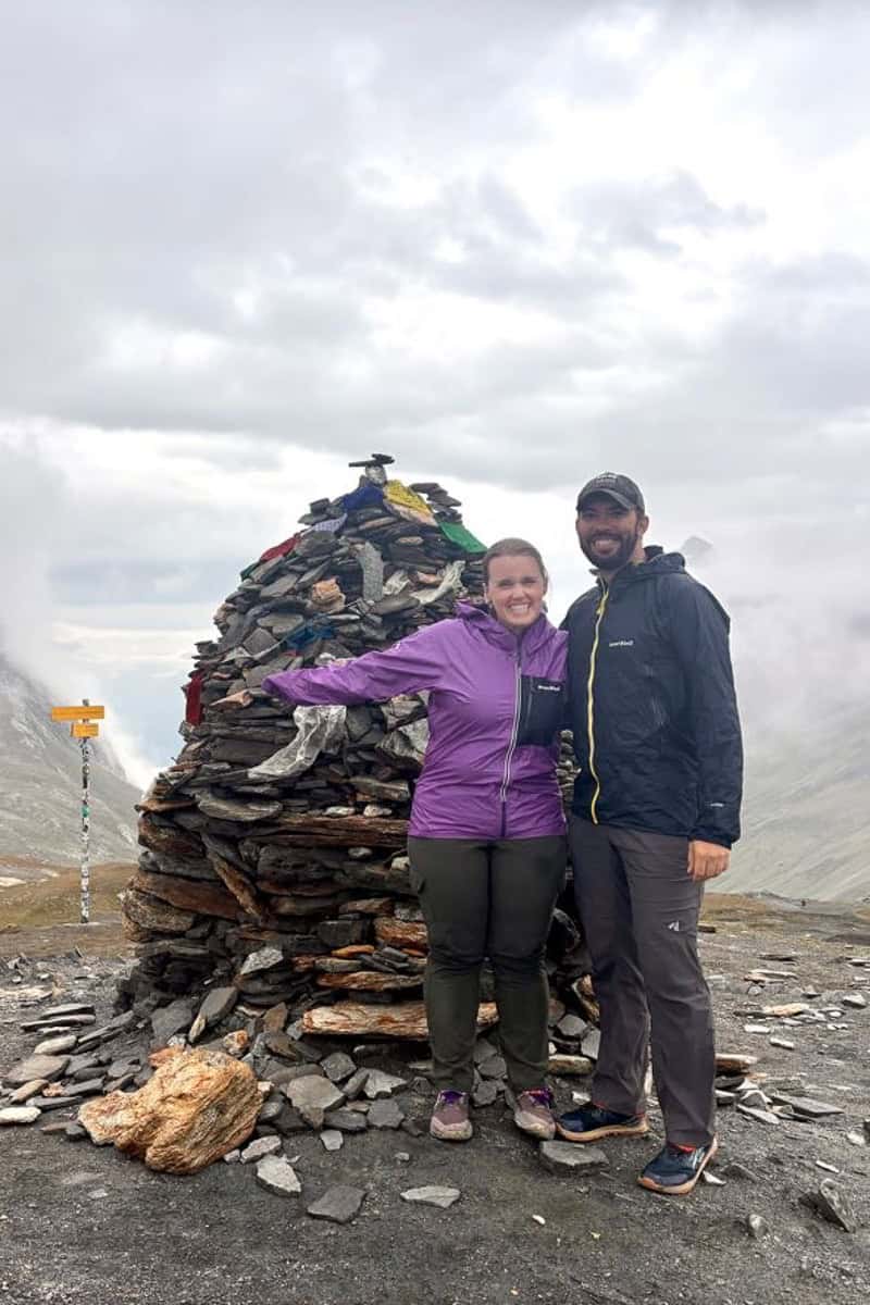
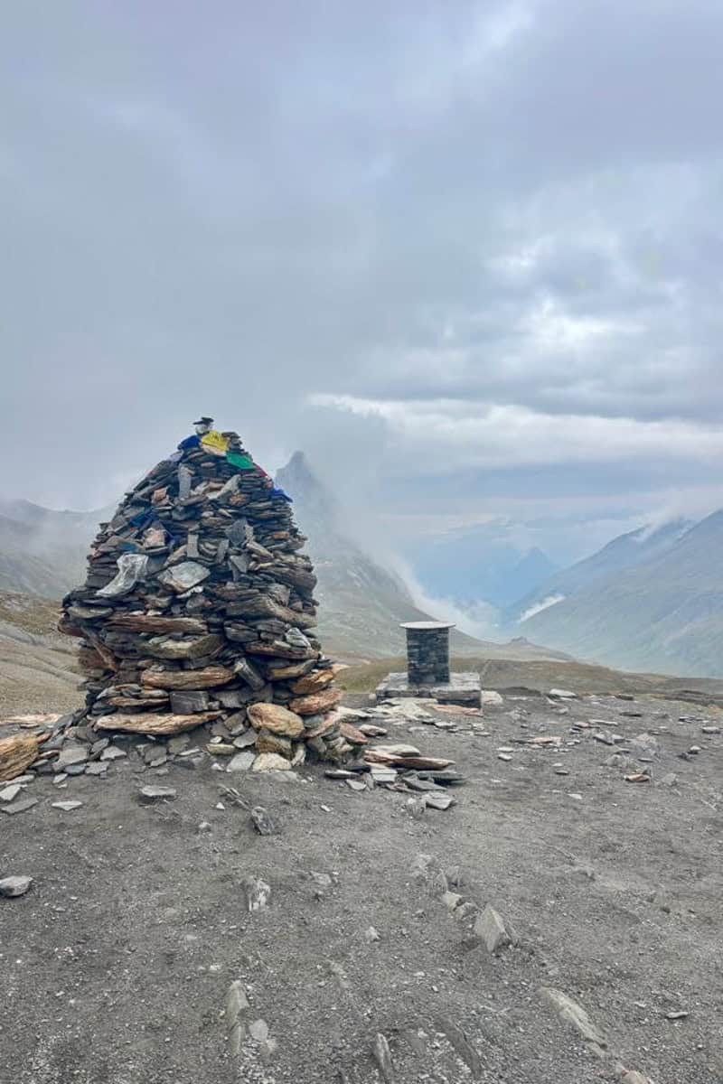
    When we reached the col, we also crossed from France into Italy!

    Backpackers posing next to tall rock cairn marking the border between France and Italy.
    Tall rock cairn in view of mountains shrouded with fog and clouds.

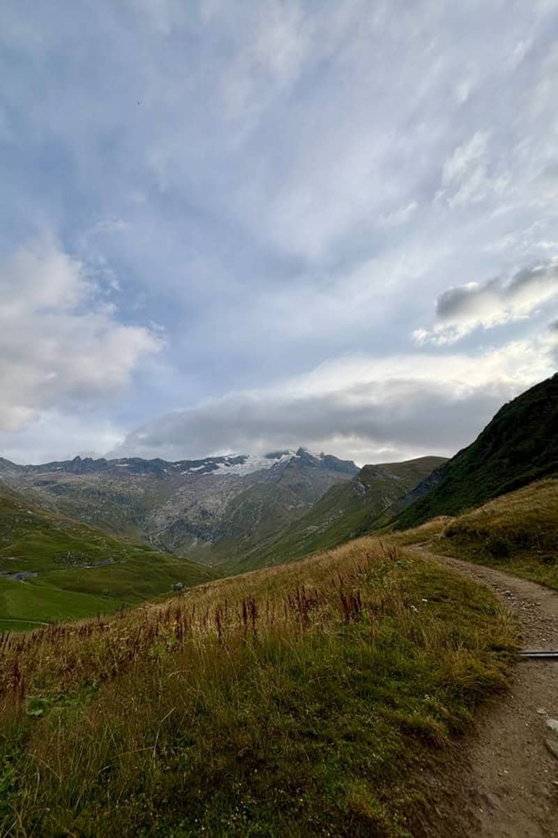
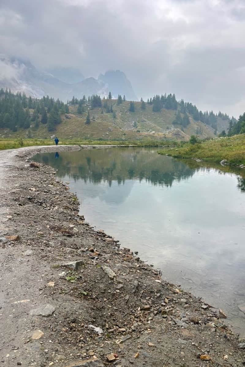
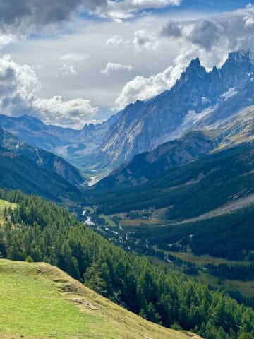
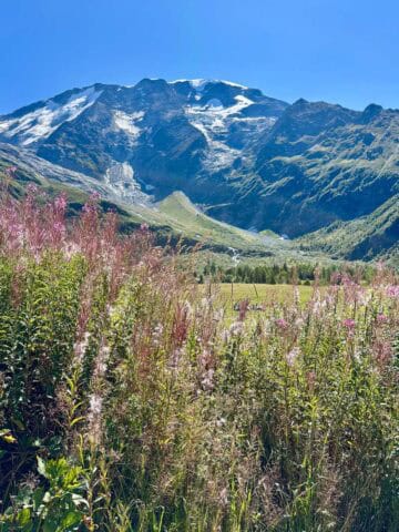
    Descending into Val Veni

    It was pretty cold at the col, so we didn’t linger before beginning the descent.

    Backpacker dressed for chilly weather navigating down sloped trail.

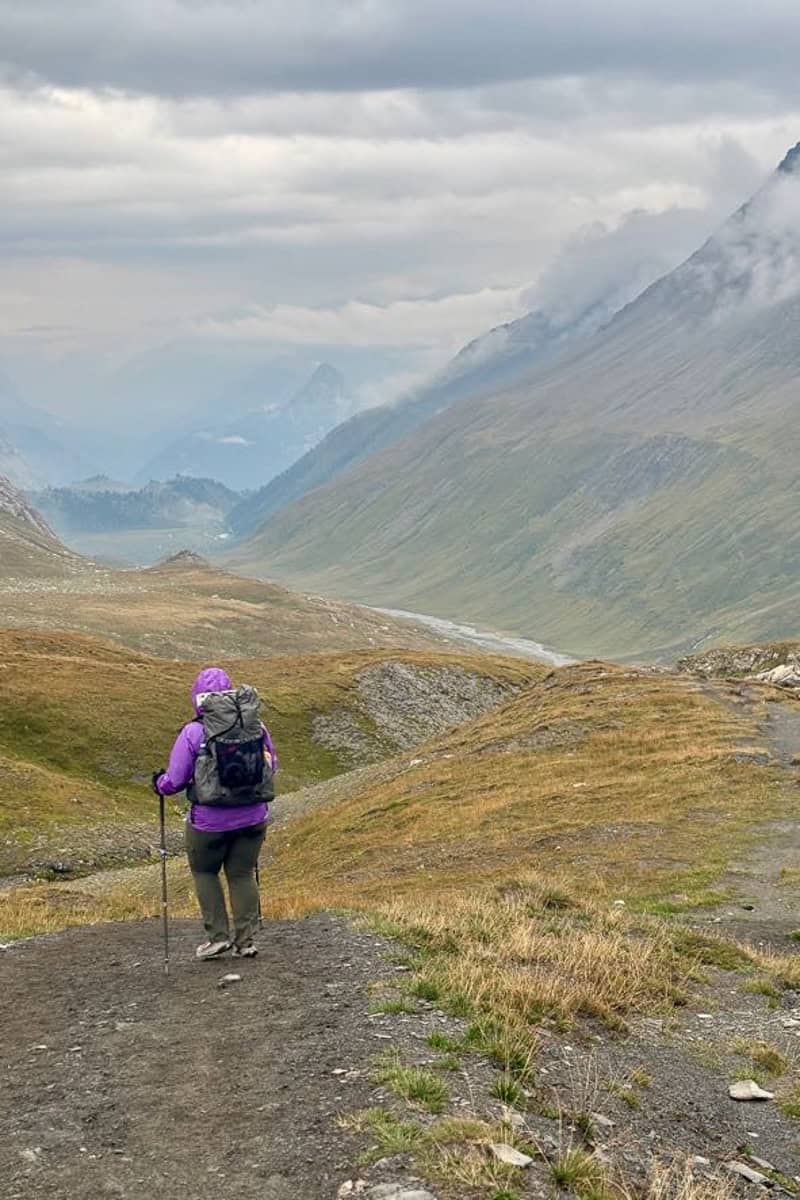
    This was a relatively easier, gentler descent that I really enjoyed! I thought it was gorgeous in the drizzly moody weather.

    Trail sloping down mountainside on Stages 3 and 4 of the Tour du Mont Blanc.
    Distant waterfall visible from trail.

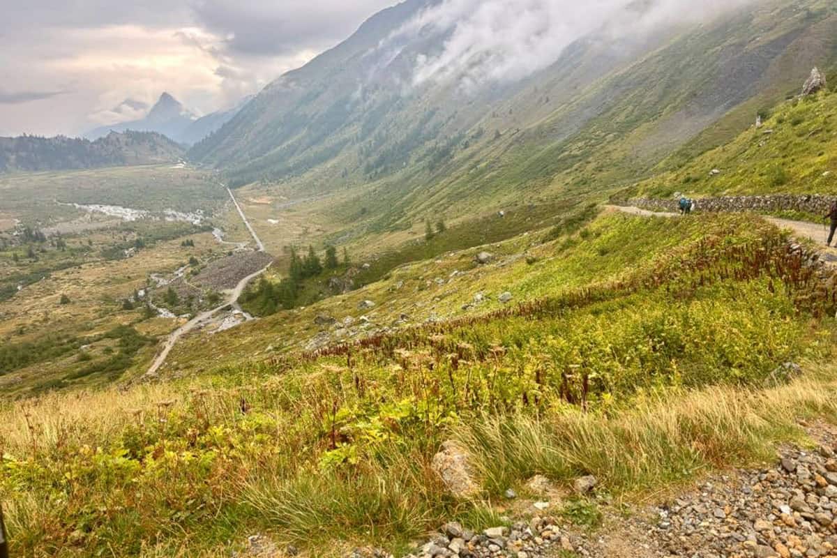
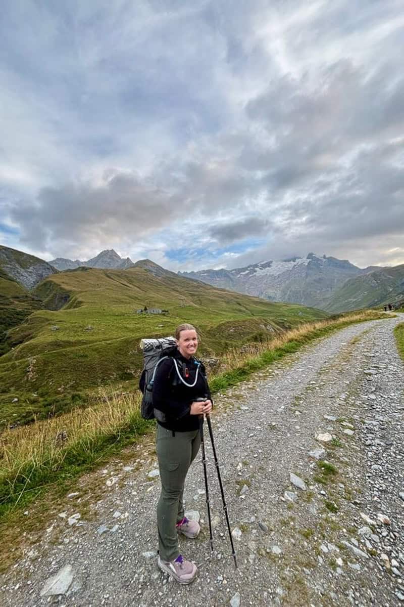
    There’s a brief fairly flat section where you can walk more quickly (until you reach Elisabetta), then more downhill again. We'd initially planned to stop at Elisabetta for lunch, but opted to get a sandwich from last night's campground instead.

    And then, another flat section, which was quite a nice way to cover lots of miles.

    Pond seen alongside Tour du Mont Blanc trail with fog obscuring mountains in background.

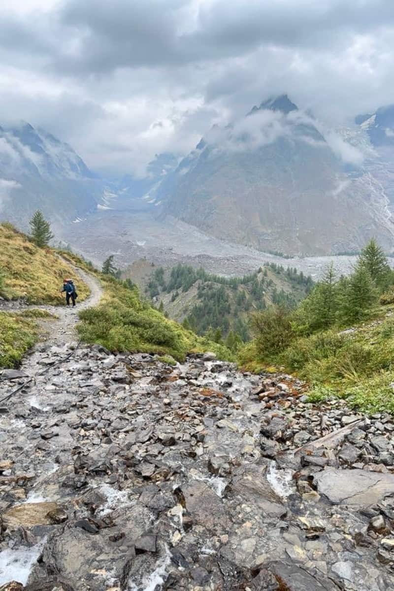
    Hiking to Col Chécrouit

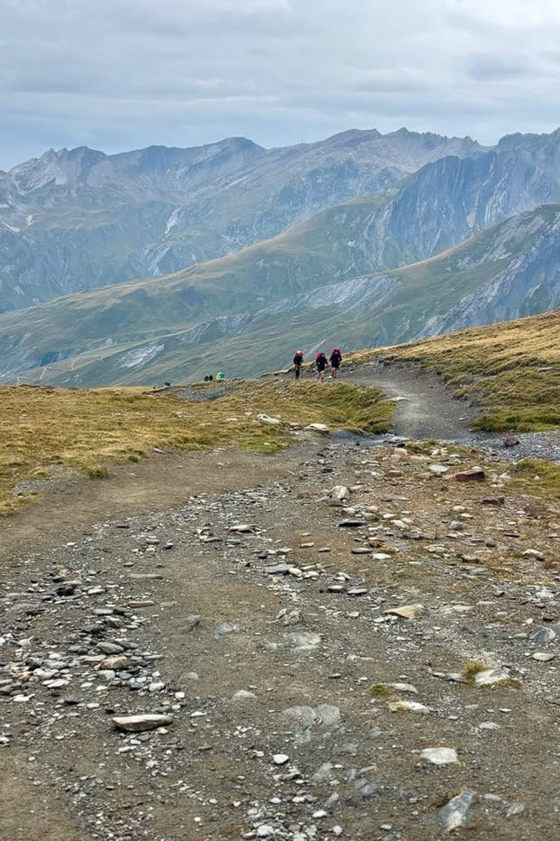
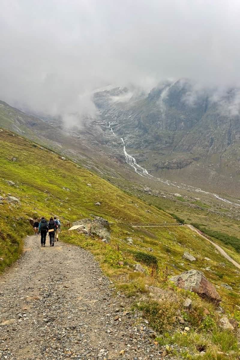
    Next came our second uphill ascent of the day. The trail to Col Chécrouit goes up, up and up.

    Views of glaciers in the distance are amazing, but they are behind you so you have to pause and look behind often. (Not just because you’re out of breath, although that’s also a great reason to pause.)

    Rocky trail with view of cloud-covered mountains.
    Looking Back on the Trail From Above with Glacier Views in the Background

    When we reached the col, the views continued to impress.

    Cloud covered mountain slopes.

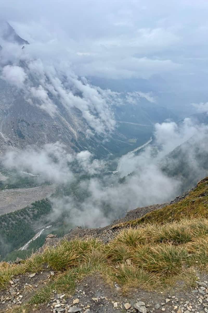
    The trail goes around the mountain shoulder and then begins dropping down. I really enjoyed this downhill section, and even trail-ran part of it to cover more miles more quickly.

    Gravel trail along foggy mountainside.
    Herd of cows and white horse standing in field overlooking cloud-covered mountain slopes.

    We took a short break at Refuge Maison Vieille for a beer just before our big descent. Read more about food and drink on the TMB.

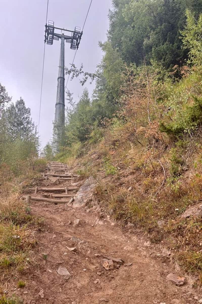
    The Descent to Courmayeur

    From this point, you can opt to either take a chairlift and then a gondola down to Courmayeur, or hike.

    We opted to hike. It was quite steep. The chairlifts and gondolas went right overhead, reminding us we could’ve chosen the easy route. On one of the gondolas, I even spotted a hiker we'd been leapfrogging, and was a little bit jealous.

    Chairlift visible above dirt trail.

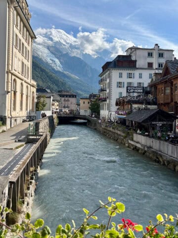
    Either way, you’ll end up in Courmayeur. The trail goes right through town.

    Stone building with attached trail markers for Tour du Mont Blanc.
    Backpacker walking down cobbled street in Courmayeur, Italy.

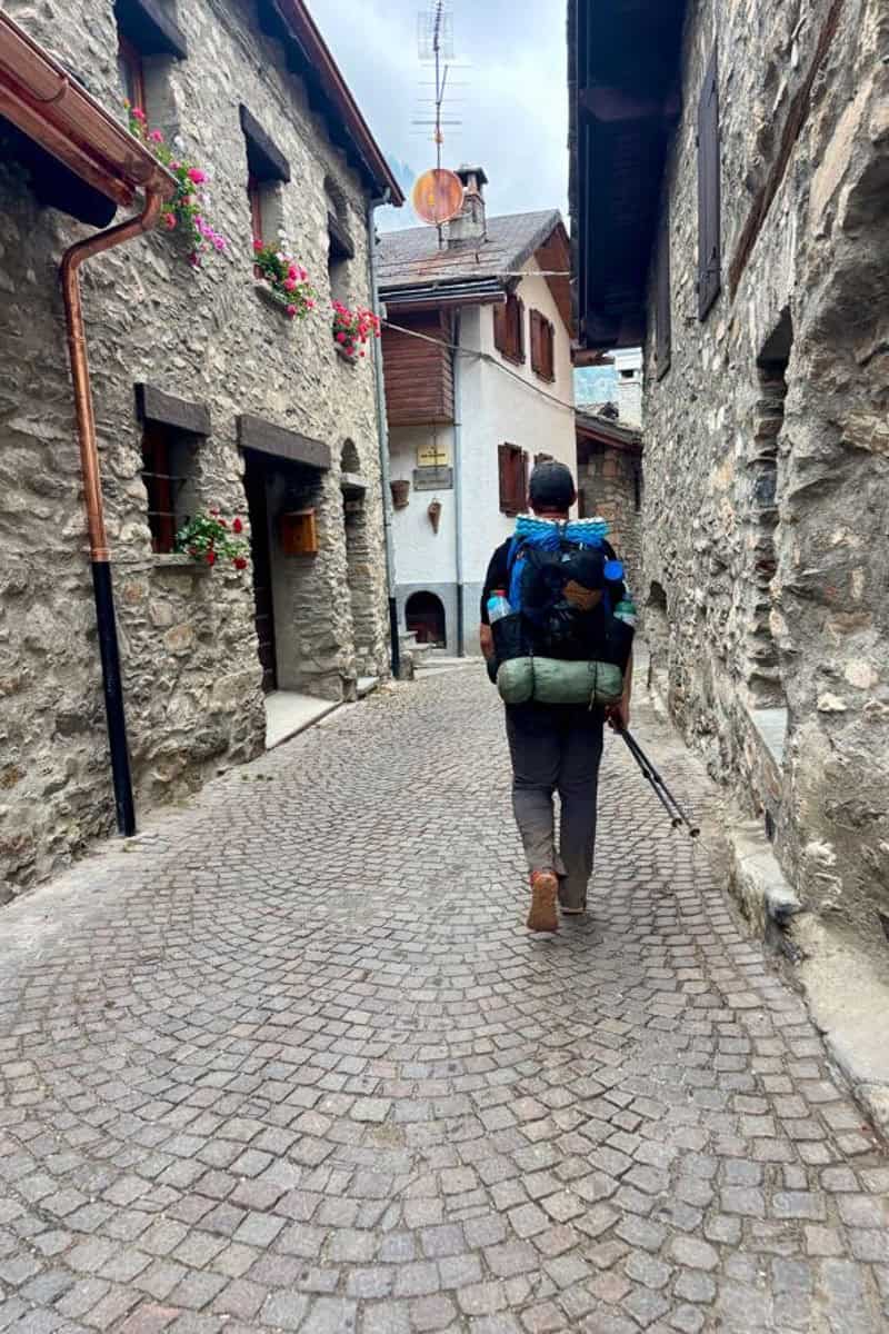
    Once we descended into town, we checked into our hotel (the wonderful Hotel Bouton d’Or) and got amazing pasta at Pizzeria La Remisa. The best part was that our next day was a zero day (a rest day)!

    This was one place along the TMB where it made more sense to stay at a hotel rather than camping the whole way. You might want to check out our other lessons learned, as well as backpacking gear recommendations!

    On to Stage 5!

    More Europe

    • View of Val Ferret alpine valley with towering peaks above.
      Tour du Mont Blanc Stage 5: Courmayeur to Chalet Val Ferret
    • Backpacker standing above Alpine valley viewing mountain peaks.
      Tour du Mont Blanc Stage 2 Variant: Col du Bonhomme to Col du Fours
    • Alpine mountain and valley below clear blue sky.
      Tour du Mont Blanc Stage 1: Col de Tricot variant
    • View of French Alps towering over French town with buildings on either side of canal.
      Things to do in Chamonix, France in Summer

    About Sarah Trenalone

    Sarah is the primary creator at Champagne Tastes. She's a photographer, food writer and traveler, and is certified in Backcountry Kitchen and Backcountry Navigation from the Colorado Outward Bound School and Identifying Wild Plants from Backpacker.

    Leave a Comment: Cancel reply

    Your email address will not be published. Required fields are marked *

    Recipe Rating


    bio

    Hi, I'm Sarah! I'm a traveler who loves to eat.   Follow along to join me on my next adventure-- in food or on the road.

    Learn More →

    Currently Trending

    • langostino lobster rolls on a serving tray.
      Langostino Lobster Rolls
    • pan-seared rockfish on a plate
      Pan-Seared Rockfish
    • pan-seared red snapper on plates
      Pan-Seared Red Snapper
    • crab butter sauce on a platter with crab legs
      Crab Butter Sauce

    Footer

    About

    • Privacy Policy
    • Terms & Conditions
    • Supplemental Privacy Notice For California Residents
    • Supplemental Privacy Notice For Nevada Residents

    Newsletter

    • Sign Up! for emails and updates

    Contact

    • Contact
    • Recipe and Photo Reuse Terms + FAQ

    Copyright ©2015-2025 Champagne Tastes
    All Rights Reserved.