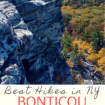
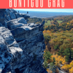

Do you like climbing, vistas and beautiful scenery? Then grab your hiking boots, head to New York’s Mohonk Preserve, and climb to the peak of Bonticou Crag!
BY RANDY SHEPARD
Are you ready for a rock scrambling adventure?
Head to Bonticou Crag!
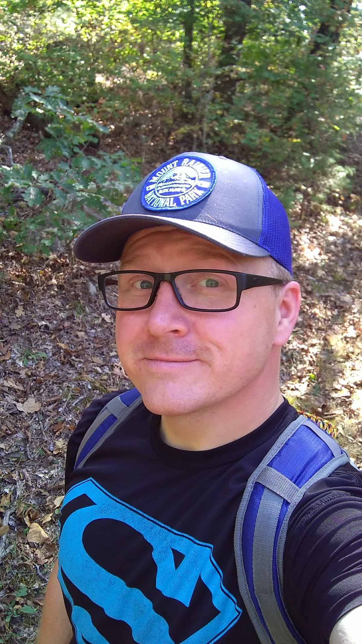
On a recent trip to New York, I did as much hiking as possible. We hiked to Overlook Mountain (worth it), and of course-- Bonticou Crag.
Where is Bonticou Crag?
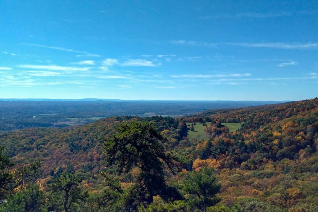
Bonticou Crag is a peak in the Shawangunk section of the Catskill Mountains northwest of New Paltz, New York.
It's located in the Mohonk Preserve about 15 minutes from Mohonk Mountain House, another gorgeous (but pricey) hiking and rock scrambling destination.
To get to the trailhead, go west on highway 299 and cross the Wallkill river.
Make the right onto Springtown Road for half a mile, and stay to the left at the fork onto Mountain Rest/Mohonk Road for 5.2 miles. Turn right onto Upper 27 Knolls Road and follow it to the Spring Farm Trailhead.
Mohonk Preserve Hiking Fees
It costs $15 PER PERSON to hike this trail.
At the trailhead, there will be a park volunteer (either at the entrance shack or directing you where to park) that will collect this fee.
Don’t worry, it’s worth it.
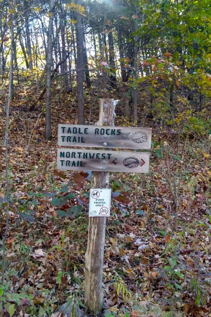
Also, bring along a Shawangunk Trail map. There are a lot of paths leading from the trailhead, and the trails are not all well marked.
As you can see in the photo below, our trail blaze was not on the sign this day, so we had to figure out for ourselves which color trail markers to follow.
Hiking Tip: A trail blaze is a colored marker (usually paint) placed along the path to help lead the way.
How Difficult Is the Hike?
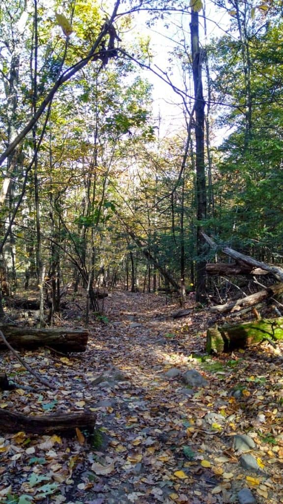
This is a 2.3-mile moderately difficult hike.
If you do the rock scramble, it's a difficult trail. Learn more about rock scrambling safely here.
Hiking Bonticou Crag
Start at the Spring Farm Trailhead.
We took the shortest and most direct path to Bonticou Crag, but you can make this a larger loop using the other trails.
From the parking area go across Upper 27 Knolls and turn left on the Table Rocks Trail (blue blaze).
Next, turn right onto the Crag Trail (red blaze).
The next turn is a mildly confusing 5-way intersect. You’ll want to make a SLIGHT left onto Bonticou Road, not the SHARP left, and follow the path to the Bonticou Ascent Path (blazed in yellow).
When you reach the point where the Northeast Trail crosses the path, you have a decision to make.
If you are hiking with kids or pets, are a novice, are afraid of heights, or for whatever other reason-- if you do not want to rock scramble, do not take the Bonticou Ascent Path.
Instead, where the Ascent Path crosses the Northeast Trail, turn left and follow the trail until you reach the Bonticou Descent Path (blazed in yellow). From there, you can follow a rather easy trail to the peak.
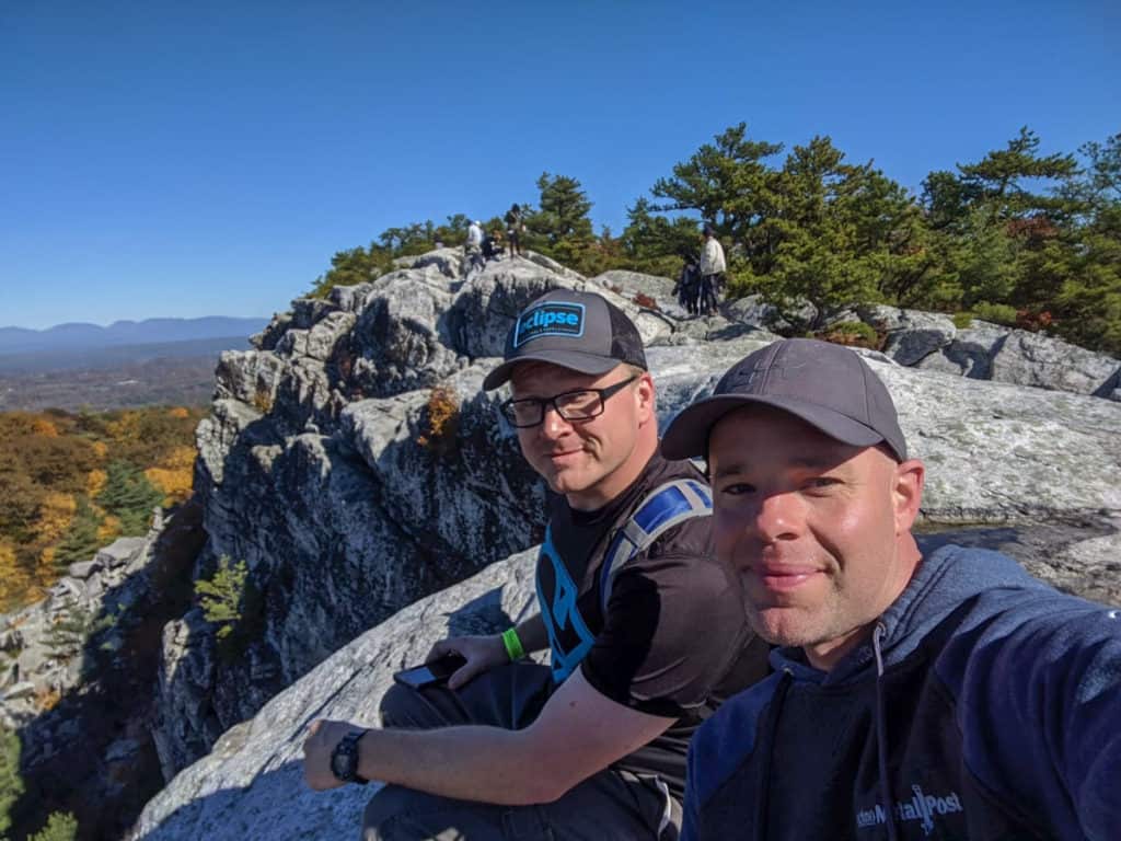
But if you’re fully capable and up for an adventure, cross over the Northeast Trail and start your ascent.
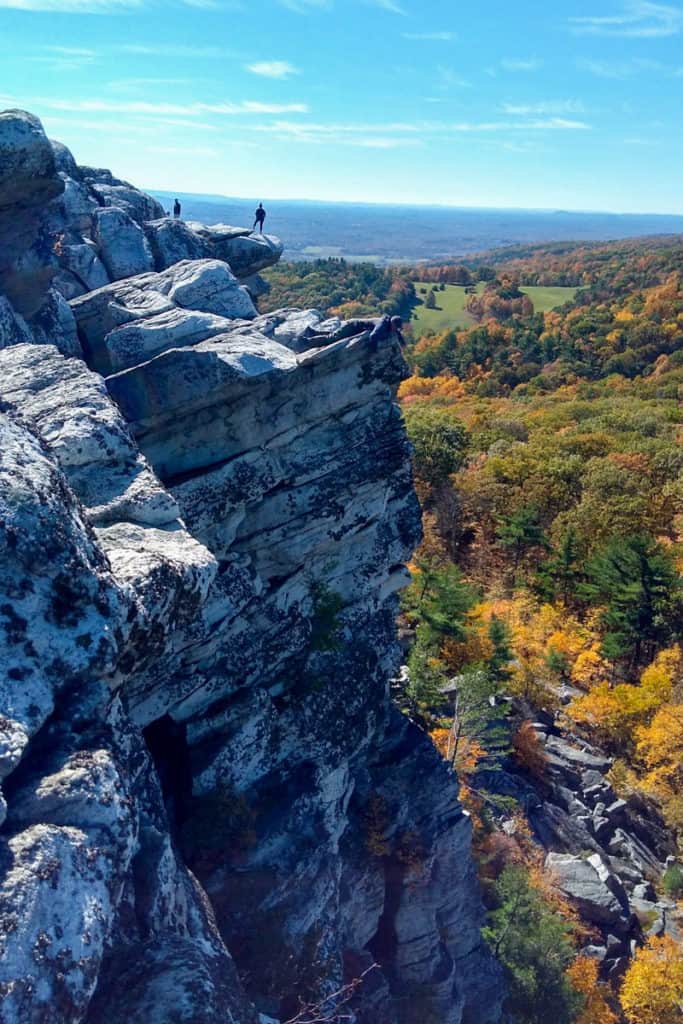
The ascent is one of the most fun trails I’ve personally done.
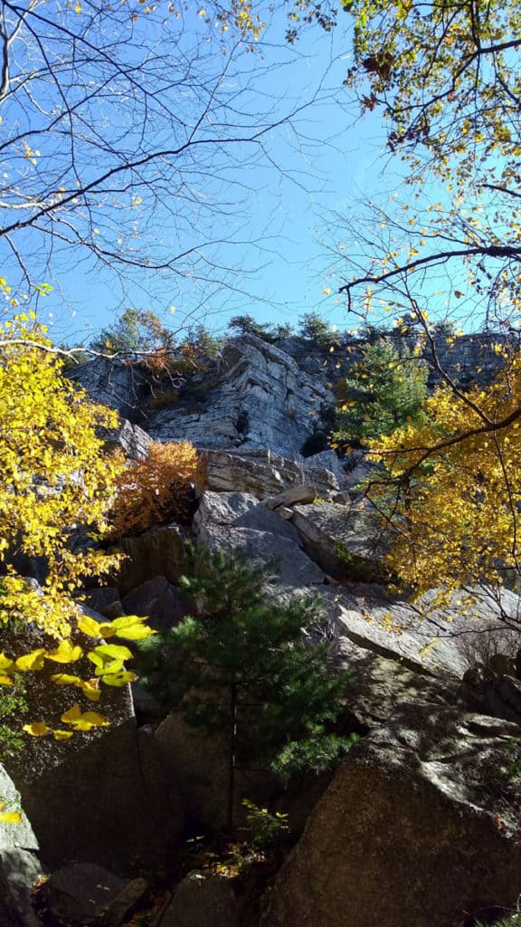
The path up the crag is blazed in yellow paint on the rocks, and while the trail is easy to follow, the climb is a bit more difficult.
But it's totally worth the effort.
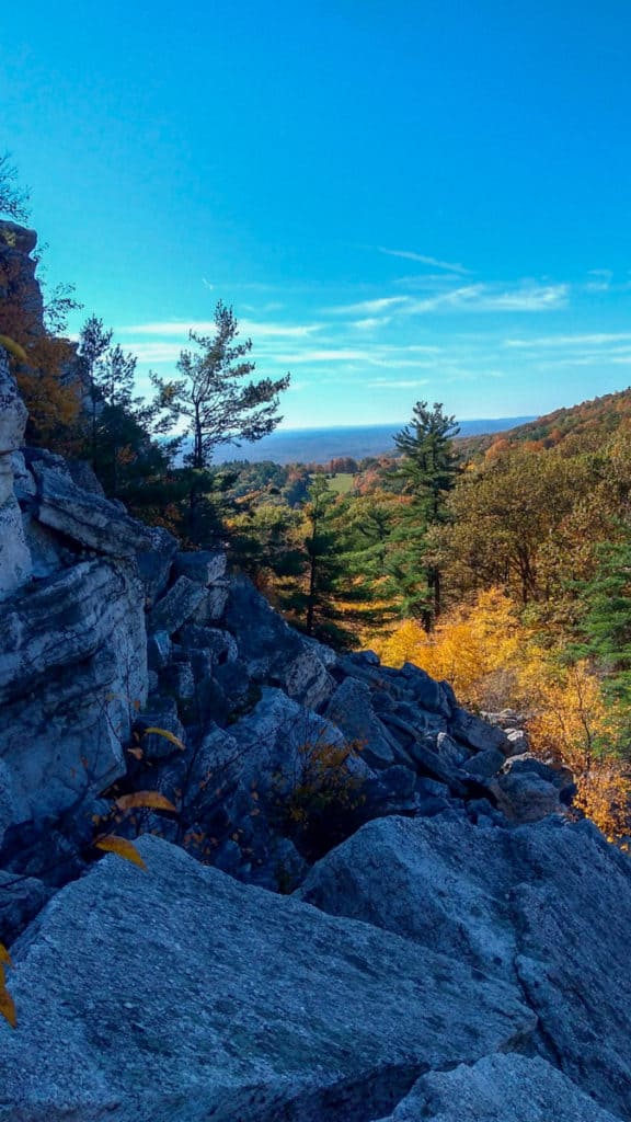
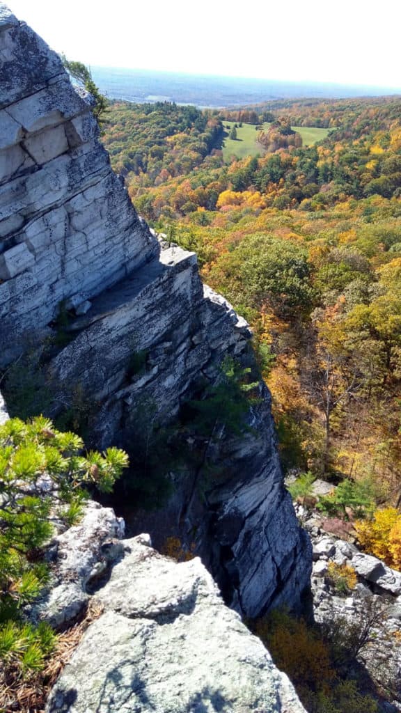
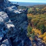
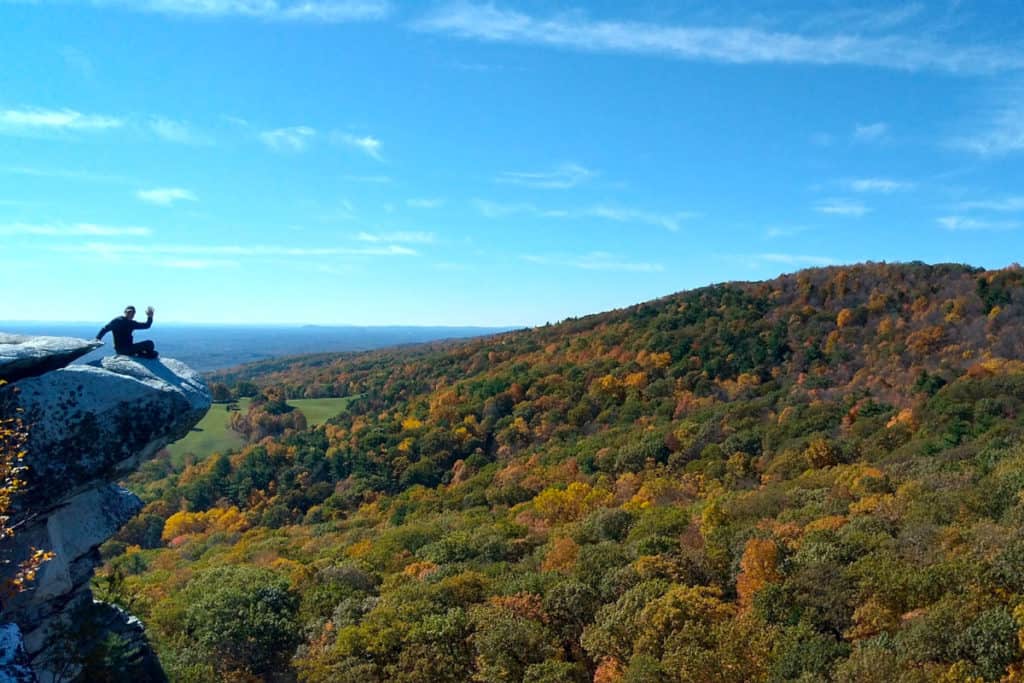
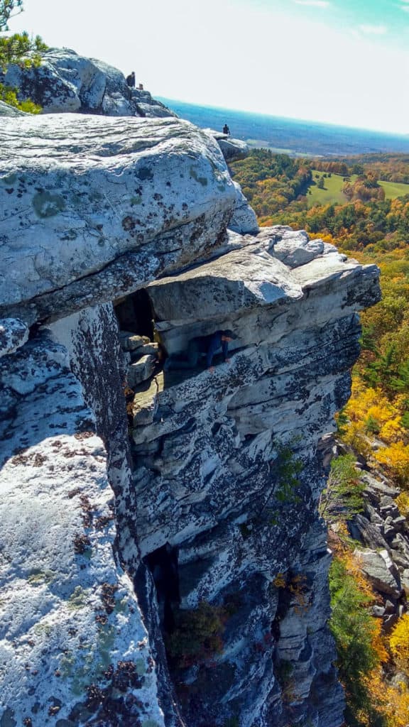
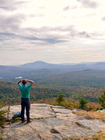
The peak is outstanding and makes for some great photo opportunities with plenty of area to explore.
Just watch your step!
After exploring and taking in the views, you have two options.
You can either follow the trail (yellow blazes) back to the bottom, or you can go down the way you came and scramble back down the crag.
About Randy Shepard
Randy Shepard was born and raised in the Missouri Ozarks. He's an amateur mycologist, an avid hiker and a novice mountain biker of the St. Francois Mountains. When he's not on the trail, he's on skates, being a consistently inconsistent inline goaltender. Follow Randy at @forest.factory.

Leave a Comment: